
Cemetery #308457
Ohnišťany Cemetery
Local name: Hřbitov Ohnišťany
Also known as Cemetery in Ohnišťany
0
documented records
≈ 54–110
approx. capacity (graves)
2,690 m²
cemetery area
Oct 18, 2026
last modified
About this cemetery
The cemetery in Ohnišťany is a municipal burial ground south of the village, established in the second half of the 19th century. The first burial took place on 20 July 1867, that of the village schoolteacher František Horák. Earlier, as elsewhere with a church, burials had taken place around the church, but that space was small.
Cemetery location
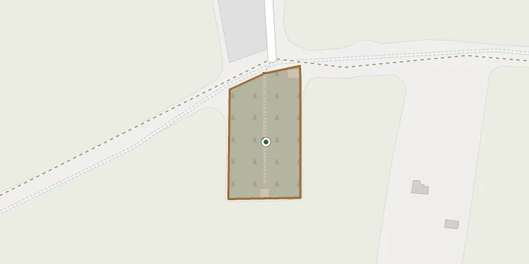
GPS coordinates: 50.326250° N, 15.508194° E Directions in Google Maps (opens in a new tab)
Memorials
No records yet
Photograph a headstone and add it to the archive.
Looking for someone who isn't listed? Request a photo.
Nearby cemeteries
The closest other burial grounds listed on EveryStone.
- Staré Smrkovice Cemetery 1.2 km away · Staré Smrkovice · 3 records
- Ohnišťany Cemetery 2.3 km away · Šaplava
- Loučná Hora Cemetery 2.4 km away · Loučná Hora
- Lískovice Cemetery 3.7 km away · Lískovice
- Chomutice Cemetery 3.7 km away · Chomutice
- Smidary Cemetery 4.2 km away · Smidary
- Smidary Cemetery 4.7 km away · Smidary
- Sobčice Cemetery 4.8 km away · Sobčice · 9 records
- Sukorady Cemetery 4.9 km away · Sukorady
- Vysoké Veselí Cemetery 4.9 km away · Vysoké Veselí
Contribute with the app
Our website works smoothly on both desktop and mobile devices. Prefer a native app? Check it out below.
- Capture clear headstone photos
- Save GPS grave locations automatically
- Transcribe inscriptions with our AI
- Suggest corrections to existing records
Common questions
How big is Ohnišťany Cemetery?
Ohnišťany Cemetery covers about 2,690 m² (0.7 acres), about the size of 10 tennis courts. It is the 182nd largest of the 466 cemeteries we list in Hradec Králové Region.