
Cemetery #310208
Zájezdec Jewish Cemetery
Local name: Žid. hřbitov
Also known as Židovský hřbitov Zájezdec
0
documented records
≈ 44–87
approx. capacity (graves)
2,190 m²
cemetery area
Oct 18, 2026
last modified
About this cemetery
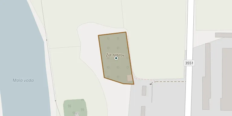
The Jewish cemetery lies between the villages of Zájezdec and Přestavlky in the Chrudim district, on a west-facing slope above the Ležák stream and the Malá voda pond. Sources date its founding to the first half of the 18th century or, probably, to 1789. In 1724 the village was recorded as having 89 resident Jews.
Cemetery location
GPS: GPS coordinates: 49.934499° N, 15.927109° E Directions in Google Maps (opens in a new tab)
Memorials
No records yet
Photograph a headstone and add it to the archive.
Looking for someone who isn't listed? Request a photo.
Nearby cemeteries
The closest other burial grounds listed on EveryStone.
- Přestavlky Cemetery 550 m away · Přestavlky
- Trojovice Cemetery 550 m away · Trojovice
- Přestavlky Jewish Cemetery 1.1 km away · Přestavlky
- Řestoky Cemetery 1.5 km away · Řestoky
- Honbice Cemetery 2.6 km away · Honbice
- Rosice Cemetery 2.6 km away · Rosice
- Hrochův Týnec Cemetery 2.9 km away · Hrochův Týnec · 23 records
- Chrast Cemetery 3.4 km away · Chrast
- Vejvanovice Cemetery 5.0 km away · Vejvanovice
- Kočí Cemetery 5.3 km away · Kočí
Contribute with the app
Our website works smoothly on both desktop and mobile devices. Prefer a native app? Check it out below.
- Capture clear headstone photos
- Save GPS grave locations automatically
- Transcribe inscriptions with our AI
- Suggest corrections to existing records
Common questions
How big is Zájezdec Jewish Cemetery?
Zájezdec Jewish Cemetery covers about 2,190 m² (0.5 acres), about the size of 8 tennis courts. It is the 184th largest of the 393 cemeteries we list in Pardubice Region.