
26
documented records
≈ 52–100
approx. capacity (graves)
2,620 m²
cemetery area
Nov 4, 2026
last modified
About this cemetery
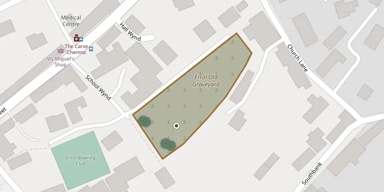
Errol Parish Church Graveyard in Perth and Kinross dates from the 17th century and later, and is a Category B listed site. Rubble walls enclose its L-plan layout. It is the graveyard of the church that preceded the present parish church, which was built in 1831-1833 by James Gillespie Graham; the earlier church was demolished.
Cemetery location
GPS: GPS coordinates: 56.391441° N, 3.213030° W Directions in Google Maps (opens in a new tab)
Memorials
26 memorials, A–Z by surname.
 Andrew Alexander ? – 1859
- Christian Alexander 1796 – 1870
- Alexander Allen ? – 1842
 Alexander Beattie 1866 – 1867
- Betsy Beattie ? – 1867
- Charles Beattie ? – 1860
- George Beattie ? – 1849
- Isabella Beattie ? – 1864
- James Beattie ? – 1870
- James Beattie ? – 1893
- James Beattie ? – 1866
- Margaret Beattie ? – 1860
- Peter Beattie ? – 1873
 Agnes Gardiner ? – 1871
- Charles Gardiner ? – 1862
- Helen Gardiner 1786 – 1871
- John Gardiner 1745 – 1830
- William Gardiner ? – 1862
- Jane Hill ? – 1832
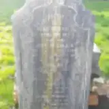 Alexander McDonald ? – 1941
- Alice McDonald ? – 1927
- Charles McDonald 1886 – 1899
- John McDonald ? – 1912
- Peter McDonald ? – 1895
- William McDonald ? – 1904
- Mary Wilson ? – 1849
Looking for someone who isn't listed? Request a photo.
Nearby cemeteries
The closest other burial grounds listed on EveryStone.
- Muirie Cemetery 1.7 km away · Errol
- Kilspindie Parish Churchyard 4.4 km away · Kilspindie
- Newburgh Cemetery 4.7 km away · Newburgh
- Rait Churchyard 4.7 km away · Rait
- Stewart Richardson Private Burial Ground 5.3 km away · Chapelhill
- St Madoes Churchyard 5.7 km away · Glencarse
- Dunbog Graveyard 5.8 km away · Dunbog
- Kinnaird Parish Churchyard 5.9 km away · Kinnaird
- Flisk Cemetery 6.1 km away · Cupar
- Abdie Churchyard 6.5 km away · Grange of Lindores
Contribute with the app
Our website works smoothly on both desktop and mobile devices. Prefer a native app? Check it out below.
- Capture clear headstone photos
- Save GPS grave locations automatically
- Transcribe inscriptions with our AI
- Suggest corrections to existing records
Common questions
How big is Errol Parish Church Graveyard?
Errol Parish Church Graveyard covers about 2,620 m² (0.6 acres), about the size of 10 tennis courts. It is the 43rd largest of the 113 cemeteries we list in Perth and Kinross.
What is the oldest grave in this cemetery?
The oldest grave among the records we hold for Errol Parish Church Graveyard is that of John Gardiner, who died in 1830 at the age of 85.