
Cemetery #3115
Przemęt Parish Cemetery
Local name: Przemęt cmentarz parafialny
Also known as Przemęt, Cmentarz Przykościelny · Przemęt Municipal Cemetery · Przemęt cmentarz komunalny
238
documented records
≈ 310–620
approx. capacity (graves)
0.016 km²
cemetery area
Nov 6, 2026
last modified
About this cemetery
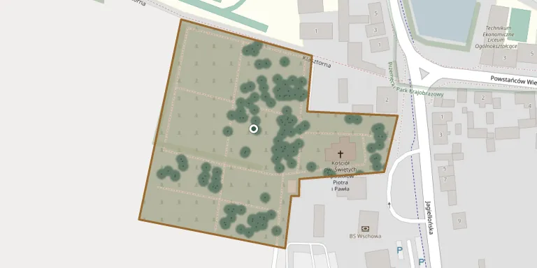
A church cemetery lies beside the church of St Andrew in Przemęt, and is described as one of two cemeteries in the town.
Cemetery location
GPS coordinates: 52.007500° N, 16.299000° E Directions in Google Maps (opens in a new tab)
Memorials
Showing the first 50 of 238, A–Z by surname. Search all records
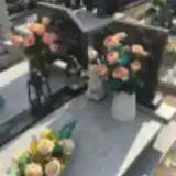 Miezak Aleksander 1923 – 1972
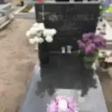 Ewa Apolinarska 1977 – 2017
 Franciszka Bajon 1918 – 2016
- Józef Bajon 1921 – 1974
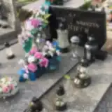 Michał Bajon 1875 – 1944
- Stefania Bajon 1906 – 1943
- Tadeusz Bajon 1952 – 2007
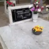 Szczepan Bajonczak 1896 – 1985
- Weronika Bajonczak 1902 – 1994
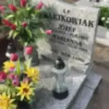 Józef Bartkowiak 1933 – 1993
- Marianna Bartkowiak 1936 – 2005
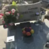 Agnieszka Brambor 1935 – 2025
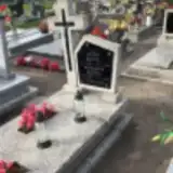 Jozef Bzyl 1909 – 1944
- Wiktoria Bzyl 1915 – 1988
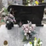 Anna Chrapa 1911 – 1999
- Józef Chrapa 1904 – 1952
- Łucja Chrapa 1929 – 2007
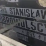 Stanisław Dobrowolski 1893 – 1958
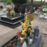 Maria Domagała 1945 – 2015
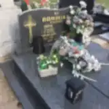 Bronisława Dominiak 1899 – 1982
- Jan Dominiak 1889 – 1958
- Zofia Dominiak 1940 – 2004
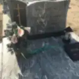 Leon Dominiczak 1934 – 1984
- Stanisława Dominiczak 1934 – 1989
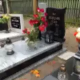 Józef Dudzak 1947 – 2014
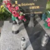 Scholastyka Durka 1947 – 2001
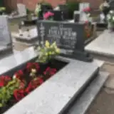 Gertruda Firlej 1908 – 2002
- Walenty Firlej 1908 – 1970
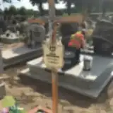 Kazimierz Flis 1938 – 2015
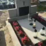 Helena Frąckowiak 1917 – 1980
- Michał Frąckowiak 1912 – 1973
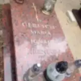 Ignacy Gertych 1912 – 1992
- Ireneusz Gertych 1947 – 2010
- Maria Gertych 1907 – 1948
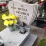 Emilia Górska 1915 – 2000
 Józef Górska 1907 – 1978
- Marta Górska 1907 – 1950
 Katarzyna Jankowska 1891 – 1939
 Marianna Jędrzejczak 1891 – 1982
- Piotr Jendraszyk 1942 – 2016
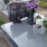 Zofia Jęsiek 1928 – 2008
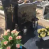 Irena Kasperska 1910 – 1987
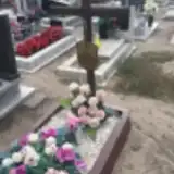 Maria Kasperska 1907 – 1984
- Stefan Kasperski 1905 – 1973
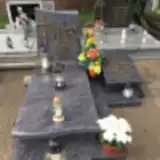 Barbara Klechów 1970 – 1992
- Jadwiga Klechów 1914 – 1978
- Jan Klechów 1939 – 1998
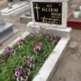 Józef Kliem 1940 – 1999
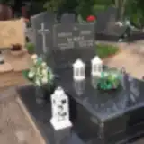 Emilia Kokot 1938 – 2013
- Zenon Kokot 1937 – 2015
Looking for someone who isn't listed? Request a photo.
Nearby cemeteries
The closest other burial grounds listed on EveryStone.
- Siekowo Immaculate Heart of the Blessed Virgin Mary Parish Cemetery 5.2 km away · Siekowo · 34 records
- Bucz St. Barbara Parish Cemetery 5.8 km away · Bucz · 62 records
- Dłużyna St. James Parish Cemetery 6.7 km away · Dłużyna · 99 records
- Solec Nowy Evangelical Cemetery (now Roman Catholic) 7.2 km away · Solec Nowy
- Mochy Cemetery 9.0 km away · Mochy · 27 records
- Tarnowa Old Evangelical Cemetery 9.7 km away · Tarnowa
- Bukowiec Górny St. Martin the Bishop Parish Cemetery 10.0 km away · Bukowiec Górny · 68 records
- Włoszakowice Holy Trinity Parish Cemetery 10 km away · Włoszakowice · 90 records
- Wilkowo Polskie St. Hedwig of Silesia Parish Cemetery 10 km away · Wilkowo Polskie · 98 records
- Kaszczor St. Adalbert Parish Cemetery 11 km away · Kaszczor · 89 records
Contribute with the app
Our website works smoothly on both desktop and mobile devices. Prefer a native app? Check it out below.
- Capture clear headstone photos
- Save GPS grave locations automatically
- Transcribe inscriptions with our AI
- Suggest corrections to existing records
Common questions
How big is Przemęt Parish Cemetery?
Przemęt Parish Cemetery covers about 16,000 m² (3.9 acres), about the size of 2 soccer fields. It is the 190th largest of the 1,233 cemeteries we list in Greater Poland Voivodeship.
What is the oldest grave in this cemetery?
The oldest grave among the records we hold for Przemęt Parish Cemetery is that of Maria Walkowiak, who died on March 2, 1912 at the age of 7.