
Cemetery #31356
Kolno Municipal Cemetery
Local name: Cmentarz Komunalny w Kolnie
Also known as Kolno, cmentarz · Cmentarz rzym.-kat. w Kolnie
52
documented records
≈ 390–790
approx. capacity (graves)
0.020 km²
cemetery area
Nov 5, 2026
last modified
About this cemetery
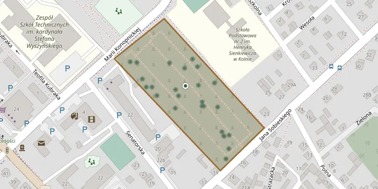
The municipal cemetery of Kolno is located near the Roman Catholic cemetery of the town.
Cemetery location
GPS coordinates: 53.410637° N, 21.933611° E Directions in Google Maps (opens in a new tab)
Memorials
Showing the first 50 of 52, A–Z by surname. Search all records
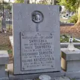 Waleria Kościelecka ? – 1966
 Józef Piasecki 1932 – 1937
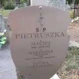 Janina Pietruszka 1944 – 1945
- Maciej Pietruszka 1862 – 1925
- Marianna Pietruszka 1868 – 1935
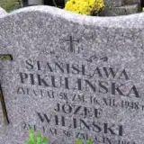 Stanisława Pikulińska ? – 1948
 Teofila Pikulińska 1876 – 1959
 Zofia Pikulińska 1930 – 1953
- Tomasz Pikuliński ? – 1926
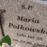 Maria Polkowska 1929 – 1962
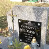 Katarzyna Połomska 1902 – 1966
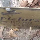 Marianna Popielarz 1875 – 1963
- Tomasz Popielarz 1877 – 1925
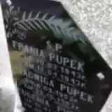 Eugenia Pupek 1950 – 1958
- Frania Pupek 1943 – 1943
- Jadwiga Pupek 1952 – 1952
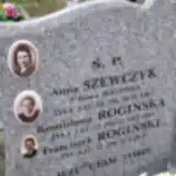 Bronisława Rogińska ? – 1963
- Franciszek Rogiński ? – 1916
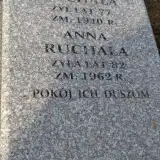 Anna Ruchała 1880 – 1962
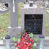 Bartłomiej Ruchała 1861 – 1915
- Feliks Ruchała ? – 1954
- Marianna Ruchała ? – 1937
- Stanisław Ruchała ? – 1940
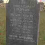 Antoni Sekściński 1900 – 1966
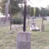 Szczepan Sekściński 1863 – 1951
- Anna Sielawa 1881 – 1902
- Antoni Sielawa 1895 – 1960
- Grzegorz Sielawa 1860 – 1934
- Krystyna Sielawa 1923 – 1927
- Marianna Sielawa 1887 – 1946
- Katarzyna Skrodzka ? – 1919
- Aleksander Skrodzki ? – 1962
- Piotr Skrodzki 1848 – 1929
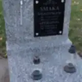 Apolonia Smaka 1895 – 1962
- Władysław Smaka 1888 – 1959
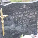 Marianna Śniadach 1873 – 1949
 Zofia Śniegocka ? – 1937
- Wiktor Śniegocki 1894 – 1965
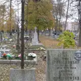 Zofia Sokołowska 1904 – 1966
- Lucyna Stanisławska ? – 1950
- Stefania Stanisławska ? – 1934
- Anna Szewczyk 1915 – 1967
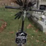 Joanna Topolska 1886 – 1964
- Ludwik Waszkiewicz ? – 1938
- Józef Wiliński 1907 – 1963
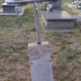 Stanisław Wróbel 1871 – 1955
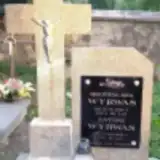 Antoni Wyrwas ? – 1959
- Bronisława Wyrwas 1886 – 1952
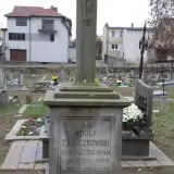 Adolf Zajączkowski 1824 – 1879
 Adam Zajk 1896 – 1945
Looking for someone who isn't listed? Request a photo.
Nearby cemeteries
The closest other burial grounds listed on EveryStone.
- Kolno Parish Cemetery 870 m away · Kolno
- Kolno War Cemetery (World War I) 870 m away · Kolno
- Kolno Jewish Cemetery 1.2 km away · Kolno
- Borkowo Catholic Cemetery 5.1 km away · Kolno · 4 records
- Wincenta War Cemetery for Soviet Prisoners of War (World War II) 6.2 km away · Wincenta
- Zabiele Parish Cemetery 6.5 km away · Zabiele · 16 records
- Kozioł Parish Cemetery 6.9 km away · Kozioł
- Kolimagi Jewish Cemetery 6.9 km away · Kolimagi
- Rakowo Chmielewo World War I Cemeteries 7.9 km away · Rakowo Chmielewo
- Lachowo Parish Cemetery 8.4 km away · Kolno
Contribute with the app
Our website works smoothly on both desktop and mobile devices. Prefer a native app? Check it out below.
- Capture clear headstone photos
- Save GPS grave locations automatically
- Transcribe inscriptions with our AI
- Suggest corrections to existing records
Common questions
How big is Kolno Municipal Cemetery?
Kolno Municipal Cemetery covers about 20,000 m² (4.9 acres), about the size of 3 soccer fields. It is the 137th largest of the 670 cemeteries we list in Podlaskie Voivodeship.
What is the oldest grave in this cemetery?
The oldest grave among the records we hold for Kolno Municipal Cemetery is that of Adolf Zajączkowski, who died on August 1, 1879 at the age of 55.