
Cemetery #3136
Bad Fallingbostel Cemetery
Local name: Friedhof Bad Fallingbostel
Also known as Friedhof Fallingbostel
16
documented records
≈ 890–1,800
approx. capacity (graves)
0.044 km²
cemetery area
Nov 5, 2026
last modified
About this cemetery
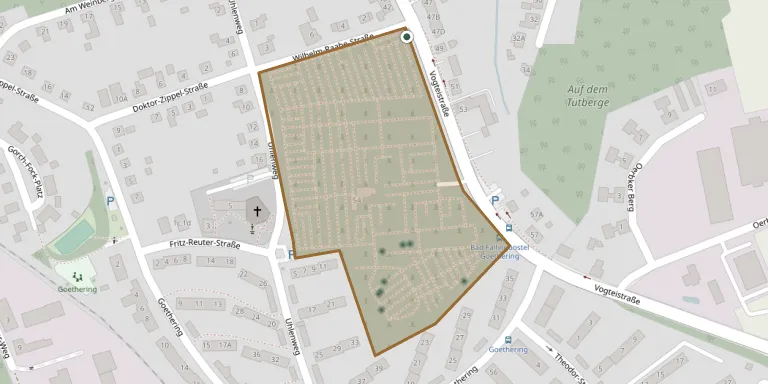
The cemetery in Bad Fallingbostel is run by the St. Dionysius church parish, which is Lutheran. It is about 310 meters long and up to 185 meters wide, and lies east of the Catholic church of St. Maria.
Cemetery location
GPS coordinates: 52.861889° N, 9.704031° E Directions in Google Maps (opens in a new tab)
Memorials
16 memorials, A–Z by surname.
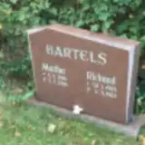 Martha Bartels 1906 – 1986
- Richard Bartels 1903 – 1983
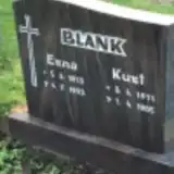 Erna Blank 1913 – 1993
- Kurt Blank 1911 – 1985
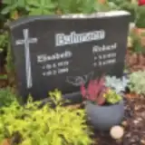 Elisabeth Buhmann 1919 – 2008
- Robert Buhmann 1913 – 1990
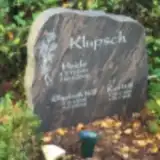 Heide Klupsch 1939 – 2003
 Emil Leiskau 1907 – 1977
- Erich Leiskau 1918 – 1992
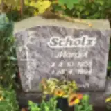 Margot Scholz 1936 – 1994
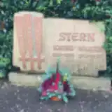 Käthe Stern 1917 – 1929
- Walter Stern 1913 – 1978
- Elisabeth Will 1909 – 2002
- Kurt Will 1904 – 1990
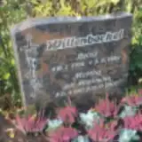 Heinz Willenbockel 1918 – 1989
- Martha Willenbockel 1917 – 2007
Looking for someone who isn't listed? Request a photo.
Nearby cemeteries
The closest other burial grounds listed on EveryStone.
- Fallingbostel DP Cemetery 1.6 km away · Fallingbostel
- Memoryal uznykam Stalag 321 (XI-D) Oerbke 1.7 km away · Osterheide · 11 records
- Meinerdingen Cemetery 4.6 km away · Meinerdingen
- Bockhorn Cemetery 5.0 km away · Bockhorn
- Bomlitz Cemetery 5.8 km away · Bayershof
- Düshorn Cemetery 6.1 km away · Düshorn · 4 records
- Westerharl Cemetery 6.5 km away · Westerharl
- Dorfmark Cemetery 6.8 km away · Dorfmark
- Krelingen Cemetery 6.9 km away · Krelingen
- Borg-Cordingen Cemetery 6.9 km away · Cordingen
Contribute with the app
Our website works smoothly on both desktop and mobile devices. Prefer a native app? Check it out below.
- Capture clear headstone photos
- Save GPS grave locations automatically
- Transcribe inscriptions with our AI
- Suggest corrections to existing records
Common questions
How big is Bad Fallingbostel Cemetery?
Bad Fallingbostel Cemetery covers about 44,000 m² (11 acres), about the size of 6 soccer fields. It is the 155th largest of the 3,526 cemeteries we list in Lower Saxony.
What is the oldest grave in this cemetery?
The oldest grave among the records we hold for Bad Fallingbostel Cemetery is that of Käthe Stern, who died in 1929 at the age of 12.