
4
documented records
≈ 160–320
approx. capacity (graves)
8,020 m²
cemetery area
Oct 18, 2026
last modified
About this cemetery
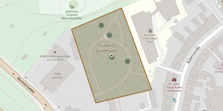
In 1605 a small cemetery for Protestants was established on what is today Monheimsallee in Aachen. It has not been used for burials since 1889 and is regarded as historically significant. The grounds are now part of Aachen's city park, together with the former spa garden and the Farwick park. More about the cemetery can be found through lebendiges-aachen.de.
Cemetery location
GPS coordinates: 50.779738° N, 6.095138° E Directions in Google Maps (opens in a new tab)
Memorials
4 memorials, A–Z by surname.
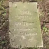 Marie Boelling 1812 – 1881
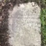 Eduard Doepp 1862 – 1885
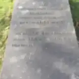 Marianne Lueder 1797 – 1873
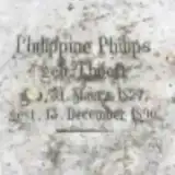 Philippine Philips 1827 – 1896
Looking for someone who isn't listed? Request a photo.
Nearby cemeteries
The closest other burial grounds listed on EveryStone.
- Aachen East Cemetery 940 m away · Aachen · 237 records
- Aachen Old Jewish Cemetery 2.2 km away · Aachen · 22 records
- Heißberg Cemetery, Aachen 2.4 km away · Aachen · 12 records
- Aachen-Haaren Cemetery 2.9 km away · Aachen
- Hüls Cemetery 3.2 km away · Aachen
- Aachen West Cemetery 3.3 km away · Aachen
- Forst Cemetery 3.3 km away · Aachen
- Aachen West Cemetery II 3.3 km away · Aachen · 104 records
- Hüls Jewish Cemetery 3.5 km away · Aachen · 9 records
- Berensberg Cemetery 3.5 km away · Berensberg
Contribute with the app
Our website works smoothly on both desktop and mobile devices. Prefer a native app? Check it out below.
- Capture clear headstone photos
- Save GPS grave locations automatically
- Transcribe inscriptions with our AI
- Suggest corrections to existing records
Common questions
How big is Güldenplan Cemetery?
Güldenplan Cemetery covers about 8,020 m² (2 acres), about the size of a soccer field. It is the 1,969th smallest of the 4,061 cemeteries we list in North Rhine-Westphalia.
What is the oldest grave in this cemetery?
The oldest grave among the records we hold for Güldenplan Cemetery is that of Marianne Eleonore Johanna Lueder, who died on November 25, 1873 at the age of 75.