
Cemetery #31689
Saint Venant Communal Cemetery
Local name: Cimetière communal, Saint-Venant
Also known as Cimetière Communal de Saint Venant
1
documented record
≈ 330–660
approx. capacity (graves)
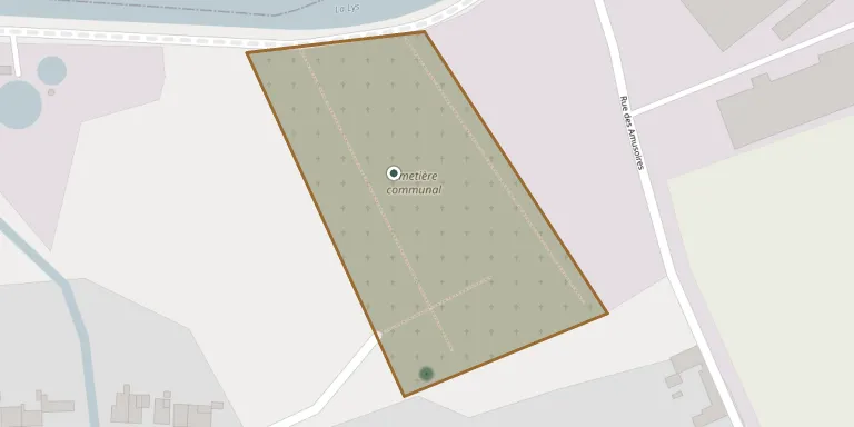
0.016 km²
cemetery area
Oct 18, 2026
last modified
About this cemetery
This communal cemetery in Saint-Venant, Pas-de-Calais, is managed by the Commonwealth War Graves Commission for its war graves. British troops continued fighting at Saint-Venant after the evacuation of Dunkirk, and 90 or more of them were buried in a mass grave.
Cemetery location
GPS coordinates: 50.625095° N, 2.555226° E Directions in Google Maps (opens in a new tab)
Memorials
1 memorial, A–Z by surname.
Looking for someone who isn't listed? Request a photo.
Nearby cemeteries
The closest other burial grounds listed on EveryStone.
- Saint-Floris Cemetery 960 m away · Saint-Floris
- Saint-Floris Commonwealth War Grave 970 m away · Saint-Floris
- Haverskerque Churchyard 2.0 km away · Haverskerque
- Saint Venant-Robecq Road British Cemetery 2.1 km away · Robecq
- Haverskerque British Cemetery 2.1 km away · Haverskerque · 1 record
- Robecq Communal Cemetery 2.9 km away · Robecq
- Sart Cemetery 4.3 km away · Le Sart
- Tannay British Cemetery 4.4 km away · Thiennes
- Calonne-sur-la-Lys Communal Cemetery 4.5 km away · Calonne-sur-la-Lys
- Busnes Communal Cemetery 4.9 km away · Busnes · 32 records
Contribute with the app
Our website works smoothly on both desktop and mobile devices. Prefer a native app? Check it out below.
- Capture clear headstone photos
- Save GPS grave locations automatically
- Transcribe inscriptions with our AI
- Suggest corrections to existing records
Common questions
How big is Saint Venant Communal Cemetery?
Saint Venant Communal Cemetery covers about 16,000 m² (4.1 acres), about the size of 2 soccer fields. It is the 292nd largest of the 4,957 cemeteries we list in Hauts-de-France.
What is the oldest grave in this cemetery?
The oldest grave among the records we hold for Saint Venant Communal Cemetery is that of Marcel Cattez, who died on September 27, 1915 at the age of 20.