
Cemetery #3200
Skovlunde Churchyard
Local name: Skovlunde Kirkegård
Also known as Vandværkshøjen. Bakken ved Skovlunde Kirkegård
197
documented records
≈ 850–1,700
approx. capacity (graves)
0.042 km²
cemetery area
Nov 5, 2026
last modified
About this cemetery
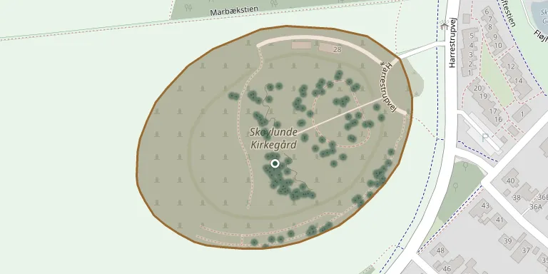
Skovlunde Churchyard was inaugurated on 28 August 1994 and lies on the highest point of the landscape, facing the Harrestrup valley. Designed by Malene Hauxner in the years 1988-93, it forms part of a larger recreational area along the Harrestrup stream. The churchyard is divided into several sections, each with its own character and landscape space. Its telephone number is +45 30 26 48 97.
Cemetery location
GPS coordinates: 55.718700° N, 12.389300° E Directions in Google Maps (opens in a new tab)
Memorials
Showing the first 50 of 197, A–Z by surname. Search all records
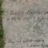 Behl Andersen 1943 – 2005
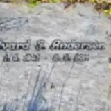 Edvard Andersen 1941 – 2011
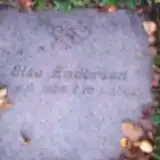 Else Andersen 1928 – 2002
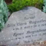 Ejner Augustesen 1924 – 2013
- Lille Augustesen 1927 – 2000
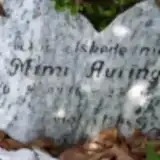 Mimi Auringer 1936 – 2002
 Grethe Beck 1913 – 2004
 Betty Christiansen 1915 – 2005
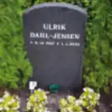 Ulrik Dahl-Jensen 1967 – 2003
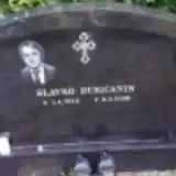 Slavko Ðuričanin 1946 – 2005
 Astrid Ekstrøm 1914 – 2004
 Poul Enegaard 1935 – 2008
 Svend-Erik Flyttov 1927 – 2011
 Jens Frederiksen 1904 – 1995
 Rita Frederiksen 1934 – 2011
- Werner Frederiksen 1934 – 1989
- René Fredriksen 1963 – 2001
 Ebba Guddal 1928 – 2005
- Erling Guddal 1928 – 2006
 Arne Hansen 1937 – 1979
 Astrid Hansen 1931 – 2007
- Frede Hansen 1929 – 2008
 Ingrid Hansen 1944 – 2000
 Kurt Heckmann 1939 – 2014
- Mary Heckmann 1917 – 2000
- Willy Heckmann 1918 – 1982
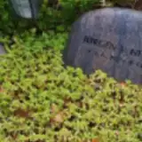 Jørgen Henriksen 1925 – 2005
- Olav Henriksen 1946 – 2003
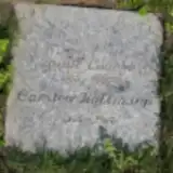 Carsten Hoffmann 1965 – 2007
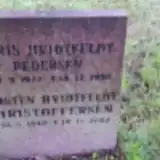 Kirsten Hvidfeldt Christoffersen 1940 – 2002
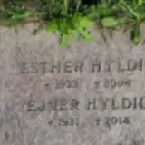 Ejner Hyldig 1931 – 2014
- Esther Hyldig 1933 – 2008
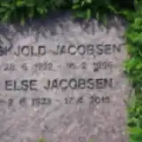 Else Jacobsen 1923 – 2013
 Mark Jacobsen 1994 – 2009
- Skjold Jacobsen 1922 – 1996
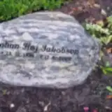 Johan Jakobsen 1928 – 2002
 Elisabeth Jensen 1916 – 2003
- Jens Jensen 1912 – 2003
 Ole Jensen 1989 – 2003
 Ralf Jensen 1945 – 2005
 Claus Jørgensen 1973 – 1999
 Gunnar Jørgensen 1928 – 1994
 Carsten Karas 1946 – 2013
- Helle Karas 1963 – 2013
 Andersen Kjems 1925 – 2010
 Ebba Klauseh 1933 – 2017
- Preben Klauseh 1933 – 2018
 Jytte Kofod 1929 – 2016
- Preben Kofod 1931 – 2005
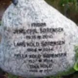 Tina Kold 1968 – 2017
Looking for someone who isn't listed? Request a photo.
Nearby cemeteries
The closest other burial grounds listed on EveryStone.
- Ballerup Churchyard 2.3 km away · Ballerup · 27 records
- Skovvejens Churchyard 2.7 km away · Ballerup · 91 records
- Herlev Churchyard 3.1 km away · Herlev
- Herlev and Birkholm Cemetery 3.6 km away · Herlev
- Glostrup North Churchyard 4.9 km away · Glostrup · 33 records
- Grøndalslund Churchyard 5.0 km away · Rødovre · 15 records
- Gladsaxe Churchyard 5.3 km away · Gladsaxe · 31 records
- Herstedvester New Cemetery 5.5 km away · Herstedvester
- Jonstrup Churchyard 5.6 km away · Ballerup
- Herstedvester Churchyard 5.6 km away · Albertslund · 42 records
Contribute with the app
Our website works smoothly on both desktop and mobile devices. Prefer a native app? Check it out below.
- Capture clear headstone photos
- Save GPS grave locations automatically
- Transcribe inscriptions with our AI
- Suggest corrections to existing records
Common questions
How big is Skovlunde Churchyard?
Skovlunde Churchyard covers about 42,000 m² (10 acres), about the size of 6 soccer fields. It is the 26th largest of the 157 cemeteries we list in Capital Region of Denmark.
What is the oldest grave in this cemetery?
The oldest grave among the records we hold for Skovlunde Churchyard is that of Arne Hansen, who died on May 1, 1979 at the age of 41.