
63
documented records
≈ 260–510
approx. capacity (graves)
0.013 km²
cemetery area
Nov 4, 2026
last modified
About this cemetery
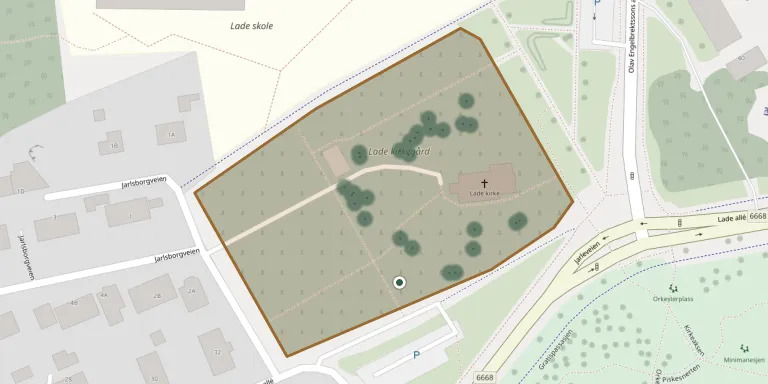
Lade kirkegård lies between Korsvik allé and Lade allé, mainly to the west and south-west of Lade Church in Trondheim. It was established in the Middle Ages, at the same time as the first church on the site. The present stone church dates from shortly before 1200 and is dedicated to the Holy Cross.
Cemetery location
GPS coordinates: 63.445850° N, 10.437899° E Directions in Google Maps (opens in a new tab)
Memorials
Showing the first 50 of 63, A–Z by surname. Search all records
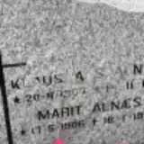 Klaus Alnæs 1907 – 1981
- Marit Alnæs 1906 – 1939
 Johan Arnstad 1925 – 1990
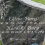 Eline Berg 1914 – 1991
- Kåre Berg 1913 – 2003
 Turid Bergh 1916 – 1987
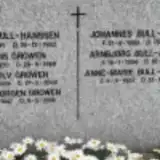 Anne-Marie Bull-Hanssen 1923 – 1924
- Arnbjørg Bull-Hanssen 1894 – 1982
- Johannes Bull-Hanssen 1893 – 1963
- Oscar Bull-Hanssen 1895 – 1962
 Rigmor Finne 1896 – 1976
 Ingeborg Gjervan 1886 – 1978
- Karl Gjervan 1910 – 1989
- Knut Gjervan 1945 – 2021
- Reidun Gjervan 1908 – 1998
- Sivert Gjervan 1881 – 1915
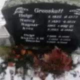 Ragnar Grevskott 1933 – 1999
- Ragnar Grevskott 1965 – 1965
- Arne Growen 1947 – 2018
- Arnulv Growen 1919 – 2000
- Herdis Growen 1920 – 1969
 Janne-Mari Hauan 1942 – 1992
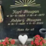 Asbjørg Haugan 1929 – 2023
- Karl Haugan 1924 – 1977
- Carl Haugen 1858 – 1945
- Edel Haugen 1900 – 1985
- Karen Haugen 1864 – 1917
- Margit Haugen 1889 – 1975
- Nils Haugen 1894 – 1975
 Alvhild Hjelde 1923 – 2022
- Egil Hjelde 1920 – 2004
 Jorunn Kaasa 1928 – 2011
- Lauritz Kaasa 1924 – 2008
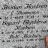 Reidun Karlsen 1927 – 1991
- Sigurd Karlsen 1921 – 2014
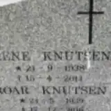 Irene Knutsen 1938 – 2011
- Roar Knutsen 1939 – 2016
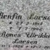 Agnes Larsen 1926 – 2016
- Arnfin Larsen 1913 – 1992
 Ludvik Ludviksen 1905 – 1989
 Anna Lund 1901 – 1977
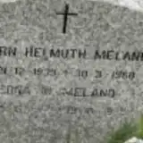 Bjørn Meland 1939 – 1960
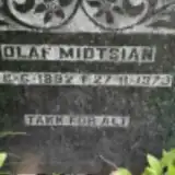 Olaf Midtsian 1892 – 1973
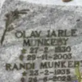 Olav Munkeby 1930 – 2003
- Randi Munkeby 1936 – 2023
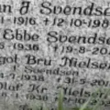 Aagot Nielsen 1938 – 2013
- Olaf Nielsen 1938 – 2021
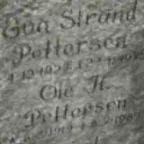 Eva Pettersen 1922 – 1975
- Ole Pettersen 1919 – 1989
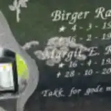 Birger Ramo 1916 – 1987
Looking for someone who isn't listed? Request a photo.
Nearby cemeteries
The closest other burial grounds listed on EveryStone.
- Lademoen-Serbere Cemetery 730 m away · Trondheim · 9 records
- Lademoen Churchyard 840 m away · Trondheim
- Nidaros Cathedral 2.9 km away · Trondheim · 66 records
- Moholt Churchyard 3.5 km away · Trondheim · 83 records
- Tilfredshet Churchyard 4.1 km away · Trondheim · 94 records
- Ila Churchyard 4.3 km away · Trondheim
- Charlottenlund Cemetery 4.5 km away · Jakobsli
- Stavne Churchyard 4.5 km away · Trondheim · 21 records
- Ranheim Cemetery 5.2 km away · Trondheim
- Havstein War Cemetery 5.4 km away · Trondheim · 8 records
Contribute with the app
Our website works smoothly on both desktop and mobile devices. Prefer a native app? Check it out below.
- Capture clear headstone photos
- Save GPS grave locations automatically
- Transcribe inscriptions with our AI
- Suggest corrections to existing records
Common questions
How big is Lade Cemetery?
Lade Cemetery covers about 13,000 m² (3.2 acres), about the size of 2 soccer fields. It is the 52nd largest of the 191 cemeteries we list in Trøndelag.
What is the oldest grave in this cemetery?
The oldest grave among the records we hold for Lade Cemetery is that of Sivert Andreas Gjervan, who died on April 8, 1915 at the age of 33.