
Cemetery #32196
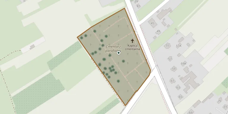
Kurów Parish Cemetery
Local name: Kurów Cmentarz Parafialny
Also known as Cmentarz parafialny, Kurów
45
documented records
≈ 480–950
approx. capacity (graves)
0.024 km²
cemetery area
Nov 5, 2026
last modified
About this cemetery
The parish cemetery in Kurów covers 2.416 hectares and belongs to the parish of the Nativity of the Blessed Virgin Mary and St Michael the Archangel. The first document mentioning a cemetery in Kurów dates from 1848.
Cemetery location
GPS coordinates: 51.384399° N, 22.191099° E Directions in Google Maps (opens in a new tab)
Memorials
45 memorials, A–Z by surname.
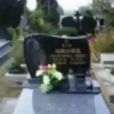 Franciszka Abramek ? – 1957
- Józef Abramek 1888 – 1949
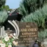 Julian Abramek ? – 2007
- Kazimiera Abramek 1928 – 2006
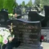 Maria Banaszek ? – 2007
 Paweł Banaszek 1981 – 2009
- Stanisław Banaszek 1932 – 2004
 Józef Chabros ? – 1999
 Stanisława Chabros ? – 2007
- Wanda Chabros 1925 – 2004
- Zbigniew Chabros 1945 – 1999
 Anna Figiel 1908 – 1986
- Władysław Figiel ? – 1986
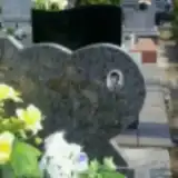 Piotr Kobus 1951 – 2002
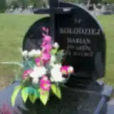 Marian Kołodziej 1940 – 2011
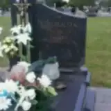 Stanisław Kowalczyk 1931 – 2012
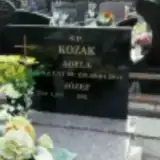 Adela Kozak 1925 – 2013
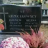 Helena Krzeczkowska ? – 2001
- Zbigniew Krzeczkowski 1930 – 1983
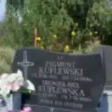 Bronisława Kuflewska 1921 – 2008
- Zygmunt Kuflewski 1912 – 2004
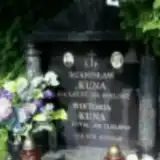 Stanisław Kuna 1930 – 1987
- Wiktoria Kuna ? – 2015
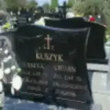 Janina Kuszyk ? – 2001
- Urban Kuszyk 1927 – 2005
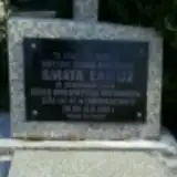 Amata Łabuz 1895 – 1982
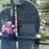 Marianna Lalak ? – 2008
- Barbara Niedbałko ? – 2003
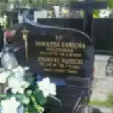 Domicela Panecka 1928 – 2000
- Zygmunt Panecki ? – 2011
- Feliksa Piech ? – 1973
- Władysław Piech 1885 – 1957
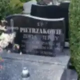 Jerzy Pietrzak ? – 1999
- Zofia Pietrzak 1951 – 2001
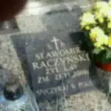 Stanisław Raczyński 1931 – 2000
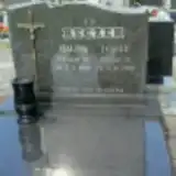 Halina Reczek 1926 – 2005
- Józef Reczek ? – 1995
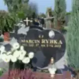 Marcin Rybka 1976 – 2013
 Sabina Szychiewicz ? – 1995
- Stefan Szychiewicz 1922 – 1983
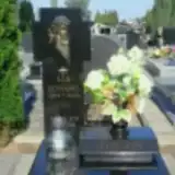 Edward Szynczyk 1939 – 2004
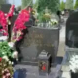 Roman Wiejak 1958 – 2009
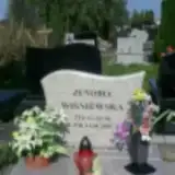 Zenobia Wiśniewska 1955 – 2009
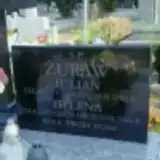 Helena Żuraw 1916 – 2006
- Julian Żuraw ? – 1983
Looking for someone who isn't listed? Request a photo.
Nearby cemeteries
The closest other burial grounds listed on EveryStone.
- Kurów War Cemetery 860 m away · Kurów
- Kurów New Jewish Cemetery 1.1 km away · Kurów
- Markuszów Mariavite Cemetery 4.4 km away · Markuszów
- Markuszów Parish Cemetery 4.6 km away · Markuszów
- Klementowice Parish Cemetery 4.8 km away · Klementowice
- Markuszów New Jewish Cemetery 5.5 km away · Markuszów
- Drzewce Cemetery of the Victims of World Wars I and II 6.5 km away · Drzewce
- Małe Piotrowice Parish Cemetery 7.0 km away · Małe Piotrowice
- Dęba Parish Cemetery 7.1 km away · Dęba
- Garbów-Cukrownia Parish Cemetery 7.4 km away · Zagrody
Contribute with the app
Our website works smoothly on both desktop and mobile devices. Prefer a native app? Check it out below.
- Capture clear headstone photos
- Save GPS grave locations automatically
- Transcribe inscriptions with our AI
- Suggest corrections to existing records
Common questions
How big is Kurów Parish Cemetery?
Kurów Parish Cemetery covers about 24,000 m² (5.9 acres), about the size of 3 soccer fields. It is the 139th largest of the 1,041 cemeteries we list in Lublin Voivodeship.
What is the oldest grave in this cemetery?
The oldest grave among the records we hold for Kurów Parish Cemetery is that of Józef Abramek, who died on March 22, 1949 at the age of 61.