
Cemetery #32203
Elouges Communal Cemetery
Local name: Cimetière d'Elouges
Also known as Begraafplaats van Élouges
0
documented records
≈ 270–540
approx. capacity (graves)
0.014 km²
cemetery area
Oct 18, 2026
last modified
About this cemetery
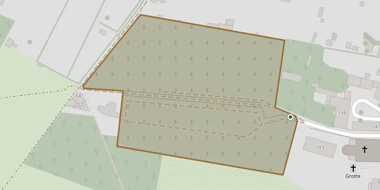
Elouges Communal Cemetery is one of the nine cemeteries of the municipality of Dour, in Hainaut, and lies on Rue du Commerce.
Cemetery location
GPS coordinates: 50.403931° N, 3.750720° E Directions in Google Maps (opens in a new tab)
Memorials
No records yet
Photograph a headstone and add it to the archive.
Looking for someone who isn't listed? Request a photo.
Nearby cemeteries
The closest other burial grounds listed on EveryStone.
- Monceau Cemetery 530 m away · Dour
- Wihéries Cemetery 1.9 km away · Wihéries
- Wihéries Cermetery CWGC Plot 2.0 km away · Wihéries
- Dour Communal Cemetery 2.1 km away · Dour
- Boussu Bois Cemetery 2.8 km away · Boussu
- Hainin Cemetery 2.9 km away · Hainin
- Thulin Cemetery 3.0 km away · Hensies
- Audregnies Cemetery 3.7 km away · Audregnies
- Montignies-sur-Roc Cemetery 3.7 km away · Honnelles
- Boussu Cemetery 4.1 km away · Boussu
Contribute with the app
Our website works smoothly on both desktop and mobile devices. Prefer a native app? Check it out below.
- Capture clear headstone photos
- Save GPS grave locations automatically
- Transcribe inscriptions with our AI
- Suggest corrections to existing records
Common questions
How big is Elouges Communal Cemetery?
Elouges Communal Cemetery covers about 14,000 m² (3.4 acres), about the size of 2 soccer fields. It is the 95th largest of the 566 cemeteries we list in Hainaut.