
0
documented records
≈ 66–130
approx. capacity (graves)
3,320 m²
cemetery area
Oct 18, 2026
last modified
About this cemetery
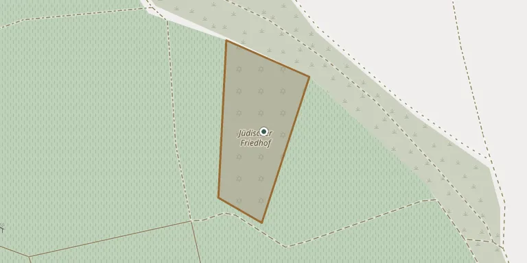
Jews are recorded living in Hüttenheim as early as 1498, and in 1812 there were 173 Jewish residents, about 20 percent of the village population. Until a cemetery of their own was laid out in 1816, they buried their dead in Rödelsee. The cemetery lies outside the village on a steep slope of the Tannenberg among vineyards, on the road towards Nenzenheim, and holds 468 graves.
Cemetery location
GPS: GPS coordinates: 49.640716° N, 10.266286° E Directions in Google Maps (opens in a new tab)
Memorials
No records yet
Photograph a headstone and add it to the archive.
Looking for someone who isn't listed? Request a photo.
Nearby cemeteries
The closest other burial grounds listed on EveryStone.
- Hüttenheim Cemetery 1.3 km away · Hüttenheim
- Nenzenheim Cemetery 1.4 km away · Nenzenheim
- Seinsheim Cemetery 3.1 km away · Seinsheim
- Iphofen Cemetery near Hauptstraße 3.4 km away · Mönchsondheim
- Schloss Frankenberg Cemetery 3.5 km away · Weigenheim
- Iffigheim Cemetery 4.1 km away · Seinsheim
- Wässerndorf Cemetery 4.6 km away · Wässerndorf
- Dornheim Cemetery 4.7 km away · Dornheim
- Tiefenstockheim Cemetery 4.8 km away · Tiefenstockheim
- Willanzheim Cemetery 4.9 km away · Willanzheim
Contribute with the app
Our website works smoothly on both desktop and mobile devices. Prefer a native app? Check it out below.
- Capture clear headstone photos
- Save GPS grave locations automatically
- Transcribe inscriptions with our AI
- Suggest corrections to existing records
Common questions
How big is Hüttenheim Jewish Cemetery?
Hüttenheim Jewish Cemetery covers about 3,320 m² (0.8 acres), about half the size of a soccer field. It is the 2,254th largest of the 5,401 cemeteries we list in Bavaria.