
Cemetery #326074
Wallendorf War Cemetery
Local name: Kriegsgräberstätte Wallendorf
0
documented records
≈ 37–73
approx. capacity (graves)
1,830 m²
cemetery area
Oct 18, 2026
last modified
About this cemetery
The Wallendorf War Cemetery is a cemetery of honour in the municipality of Wallendorf, in the Eifelkreis Bitburg-Prüm. The area was a combat zone from September 1944 to February 1945, and 90 to 95 percent of the houses and farmsteads were destroyed. Men from the town marked the graves with wooden crosses, and the Volksbund later redesigned the cemetery with an enclosing wall and a sandstone cross.
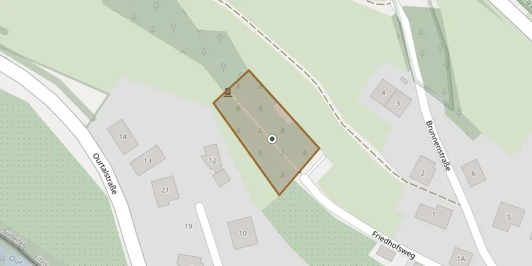
Cemetery location
GPS coordinates: 49.879194° N, 6.284833° E Directions in Google Maps (opens in a new tab)
Memorials
No records yet
Photograph a headstone and add it to the archive.
Looking for someone who isn't listed? Request a photo.
Nearby cemeteries
The closest other burial grounds listed on EveryStone.
- Wallendorf Municipal Cemetery 450 m away · Wallendorf
- Hoesdorf Cemetery 2.0 km away · Hoesdorf
- Bigelbach Cemetery 2.1 km away · Bigelbach
- Reisdorf Cemetery 2.1 km away · Reisdorf
- Ammeldingen an der Our Cemetery 2.2 km away · Ammeldingen
- Moestroff Cemetery 3.5 km away · Moestroff
- Dillingen Cemetery 3.9 km away · Dillingen
- Ehrenfeld WW2 Schwarzenbruch 4.0 km away · Schwarzenbruch
- Hommerdingen Cemetery 4.0 km away · Hommerdingen
- St. Johannes d. Täufer Cemetery 4.2 km away · Gentingen
Contribute with the app
Our website works smoothly on both desktop and mobile devices. Prefer a native app? Check it out below.
- Capture clear headstone photos
- Save GPS grave locations automatically
- Transcribe inscriptions with our AI
- Suggest corrections to existing records
Common questions
How big is Wallendorf War Cemetery?
Wallendorf War Cemetery covers about 1,830 m² (0.5 acres), about the size of 7 tennis courts. It is the 786th smallest of the 3,001 cemeteries we list in Rhineland-Palatinate.