
Cemetery #33376
Peterculter Cemetery
54
documented records
≈ 160–320
approx. capacity (graves)
7,910 m²
cemetery area
Nov 5, 2026
last modified
About this cemetery
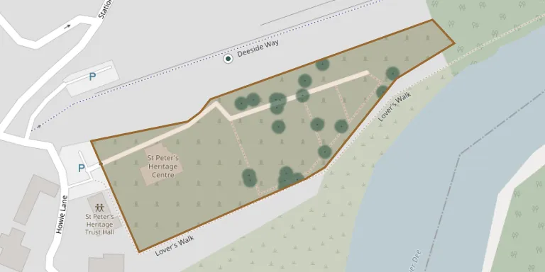
Peterculter Churchyard on Station Road East, Peterculter, is listed by Aberdeen City Council and the Commonwealth War Graves Commission. It has separate old and newer sections, each with its own publication of recorded headstones.
Cemetery location
GPS coordinates: 57.095211° N, 2.262383° W Directions in Google Maps (opens in a new tab)
Memorials
Showing the first 50 of 54, A–Z by surname. Search all records
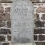 Ann Barron ? – 1938
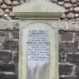 Margaret Beverley 1862 – 1937
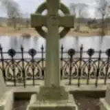 John Clark 1860 – 1924
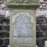 Hellen Cooper ? – 1921
- James Cooper ? – 1925
- James Cooper ? – 1889
- Mary Cooper 1889 – 1919
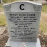 Cynthia Cowie 1922 – 2008
- Henry Cowie 1918 – 1982
 Theodore Crombie 1916 – 1986
 Catherine Donald ? – 1911
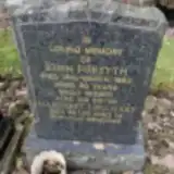 John Forsyth 1932 – 1993
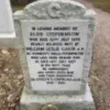 Evelyn Gavin 1930 – 2013
- William Gavin ? – 1987
- Alexander Gilchrist ? – 1922
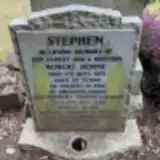 Mina Horne ? – 2013
- Robert Horne ? – 1979
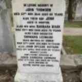 Barbara Leonard ? – 1981
- Doris Leonard ? – 2017
- Margaret Mackinnon ? – 1939
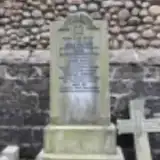 Isabella Milne 1886 – 1935
- John Rothnie ? – 2012
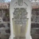 Alexander Scott 1910 – 1979
- James Scott ? – 1952
- Robert Stephen 1950 – 1973
- Elsie Stephenson ? – 1972
- Jane Taylor ? – 1915
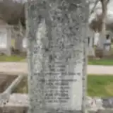 Ann Thomson 1912 – 1996
- Babara Thomson 1870 – 1949
- Elizabeth Thomson 1873 – 1944
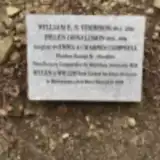 Helen Thomson 1918 – 1994
- John Thomson 1875 – 1940
- Lizzie Thomson 1893 – 1918
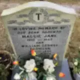 Maggie Thomson 1902 – 1939
- Mary Thomson 1874 – 1939
- Peggy Thomson 1912 – 2003
- William Thomson 1896 – 1986
- William Thomson 1910 – 1980
- William Thomson 1914 – 2000
- Margaret Urquhart 1931 – 2003
- Alexander Walker 1884 – 1962
- Ann Walker 1859 – 1939
- Barbara Walker 1895 – 1915
- David Walker 1886 – 1936
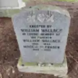 Maggie Wallace 1898 – 1983
- William Wallace 1881 – 1934
- Christina Watt ? – 1951
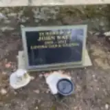 John Watt 1935 – 2012
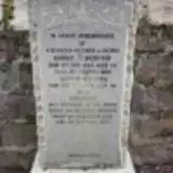 Christina Webster 1905 – 1977
- Elizabeth Webster ? – 1950
Looking for someone who isn't listed? Request a photo.
Nearby cemeteries
The closest other burial grounds listed on EveryStone.
- St. Peter’s Church 50 m away · Aberdeen · 11 records
- Templars’ Kirkyard 550 m away · Maryculter House
- Maryculter New Cemetery 1.8 km away · Kirkton of Maryculter · 9 records
- Dalmaik Kirkyard 3.4 km away · Drumoak
- Drumoak New Cemetery 5.1 km away · Drumoak · 10 records
- Kingswells Quaker Burial Ground 6.3 km away · Aberdeen
- Banchory Devenick Kirkyard 6.8 km away · Banchory Devenick · 22 records
- Hazlehead Cemetery 7.3 km away · Aberdeen · 50 records
- Durris Kirkyard, Aberdeenshire 8.0 km away · Kirkton of Durris · 38 records
- Kirkton of Skene churchyard Aberdeenshire 8.1 km away · Kirkton of Skene · 8 records
Contribute with the app
Our website works smoothly on both desktop and mobile devices. Prefer a native app? Check it out below.
- Capture clear headstone photos
- Save GPS grave locations automatically
- Transcribe inscriptions with our AI
- Suggest corrections to existing records
Common questions
How big is Peterculter Cemetery?
Peterculter Cemetery covers about 7,910 m² (2 acres), about the size of a soccer field. It is the 46th largest of the 240 cemeteries we list in Aberdeenshire.
What is the oldest grave in this cemetery?
The oldest grave among the records we hold for Peterculter Cemetery is that of James Cooper, who died on April 25, 1889.