
Cemetery #33440
Clitheroe Cemetery
35
documented records
≈ 1,100–2,200
approx. capacity (graves)
0.055 km²
cemetery area
Nov 5, 2026
last modified
About this cemetery
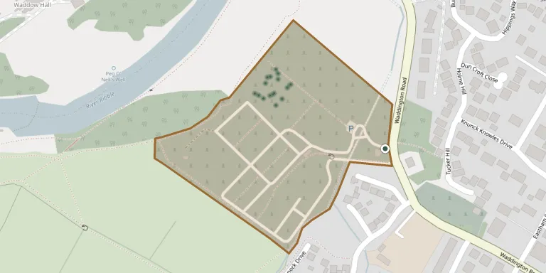
Clitheroe Cemetery is on Waddington Road in Clitheroe, Lancashire. It is the only council-owned burial area in the Ribble Valley. It stands opposite Clitheroe (St Joseph's) Roman Catholic Cemetery.
Cemetery location
GPS coordinates: 53.877800° N, 2.397330° W Directions in Google Maps (opens in a new tab)
Memorials
35 memorials, A–Z by surname.
 Mary Birch 1877 – 1925
 Laura Crossland 1935 – 1938
 Helen Eatough 1898 – 1991
- Milton Eatough 1911 – 1938
- William Eatough 1880 – 1959
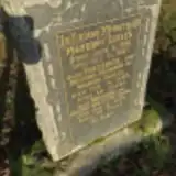 Frederick Eccles ? – 1943
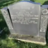 Jane Eccles 1859 – 1938
- Margory Eccles 1919 – 1921
- Marion Eccles ? – 1963
- Thomas Eccles ? – 1941
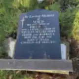 Maud Hare 1897 – 1932
- Edwin Ireland ? – 1931
 Eli Johnson 1868 – 1944
- Jane Johnson 1884 – 1954
 Elizabeth Knight ? – 1927
- George Knight 1863 – 1924
- Harry Knight ? – 1936
 Isaac Park 1867 – 1941
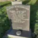 Elizabeth Ragnall ? – 1966
- Ethel Ragnall ? – 1928
- Harry Ragnall 1874 – 1951
 Helen Rawlinson ? – 1948
- Joseph Rawlinson ? – 1952
- William Rawlinson 1868 – 1935
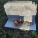 Edwin Robinson ? – 1954
- Elizabeth Robinson 1917 – 1966
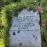 Esther Rushton 1907 – 1997
- Thomas Rushton 1906 – 2004
 Sidney Taylor 1929 – 1930
- Alice Tivey ? – 1941
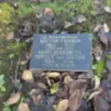 Mary Turner 1866 – 1940
- Walter Turner 1865 – 1928
 Elizabeth Warburton ? – 1960
- William Warburton 1903 – 1935
- Dorothy Winter 1919 – 1925
Looking for someone who isn't listed? Request a photo.
Nearby cemeteries
The closest other burial grounds listed on EveryStone.
- St. Joseph's Roman Catholic Cemetery 120 m away · Clitheroe
- Saint Mary Magdalene Clitheroe Churchyard 620 m away · Clitheroe
- St Helen's Churchyard, Waddington 1.7 km away · Waddington · 68 records
- West Bradford Cemetery 2.0 km away · West Bradford · 31 records
- St Catherine Church, West Bradford 2.1 km away · West Bradford · 22 records
- All Saints Church, Pendleton 3.5 km away · Pendleton · 4 records
- Christ Churchyard 3.5 km away · Chatburn
- Grindleton Methodist Cemetery 3.9 km away · Grindleton
- Grindleton, St Ambrose 3.9 km away · Grindleton
- All Hallows Churchyard 4.3 km away · Great Mitton
Contribute with the app
Our website works smoothly on both desktop and mobile devices. Prefer a native app? Check it out below.
- Capture clear headstone photos
- Save GPS grave locations automatically
- Transcribe inscriptions with our AI
- Suggest corrections to existing records
Common questions
How big is Clitheroe Cemetery?
Clitheroe Cemetery covers about 55,000 m² (14 acres), about the size of 8 soccer fields. It is the 19th largest of the 298 cemeteries we list in Lancashire.
What is the oldest grave in this cemetery?
The oldest grave among the records we hold for Clitheroe Cemetery is that of Margory Eccles, who died on October 31, 1921 at the age of 2.