
Cemetery #3345
Strathblane Churchyard
Also known as Strathblane Parish Church · Strathblane Cemetery
77
documented records
≈ 120–250
approx. capacity (graves)
6,170 m²
cemetery area
Nov 5, 2026
last modified
About this cemetery
Strathblane Churchyard surrounds the parish church on Strathblane Road, a Category B listed building built in 1803 and renovated in 1870. Three separate surveys of the monumental inscriptions in the churchyard and cemetery of Strathblane parish have been made, as recorded by the Strathblane Heritage Society.
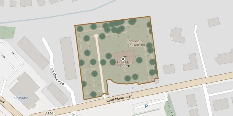
Cemetery location
GPS coordinates: 55.985939° N, 4.303950° W Directions in Google Maps (opens in a new tab)
Memorials
Showing the first 50 of 77, A–Z by surname. Search all records
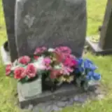 Andrew Armour 1941 – 2015
 Marion Barns Graham 1878 – 1939
- Wilmhelmina Barns Graham 1847 – 1910
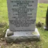 Marion Black ? – 2022
- Moreton Black 1921 – 2009
 Anne Brown 1896 – 1974
- Hamilton Brown 1854 – 1935
 Sybil Brown 1917 – 2014
- William Brown 1916 – 2002
 Catherine Brownlie ? – 1875
 Margaret Buchanan 1924 – 1968
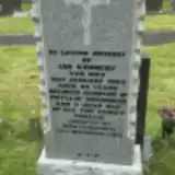 Phyllis Chambers ? – 2015
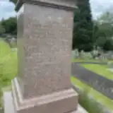 Anthony Coubrough 1843 – 1924
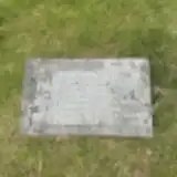 Dugald Cuthbertson 1911 – 1917
- Marion Cuthbertson 1912 – 1961
- William Cuthbertson ? – 1928
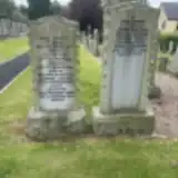 Cecil Deacon 1928 – 2019
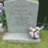 Elizabeth Dick 1925 – 2019
- Thomas Dick 1920 – 2002
 James Donald 1865 – 1886
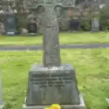 Stewart Gilchrist 1954 – 1997
- Alexander Graham ? – 1898
- Alexander Graham ? – 1867
- Allan Graham 1835 – 1913
- Gordon Graham 1885 – 1891
- John Graham ? – 1870
- Katherine Graham 1863 – 1962
- Patrick Graham 1869 – 1894
- Peter Graham 1857 – 1866
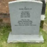 Annie Hay 1898 – 1985
- John Hay 1937 – 2021
 Robert Jack 1865 – 1934
- Ian Kennedy 1924 – 1993
 Margaret Kilpatrick 1928 – 1962
 Ian Kyle ? – 1958
- Isabel Kyle ? – 1948
- Muirel Kyle ? – 1959
- Robert Kyle ? – 1942
 Jeanette Linning 1940 – 2005
- Marjory Linning 1908 – 1999
- Hugh Livingston ? – 1969
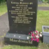 Alastair Macdonald 1935 – 2000
- Ishbel Macdonald ? – 2020
 Jeannette MacDougall ? – 1983
 Anne Macfarlane 1878 – 1973
- Peter MacFarlane ? – 1968
- Peter MacFarlane ? – 1924
 Angus MacMillan 1937 – 2010
- Anne MacMillan 1937 – 2017
- Mary Macpherson 1895 – 1955
Looking for someone who isn't listed? Request a photo.
Nearby cemeteries
The closest other burial grounds listed on EveryStone.
- Baldernock Churchyard 4.5 km away · Baldernock · 87 records
- Saint Machans Graveyard 4.7 km away · Haughhead
- High Park Cemetery 6.6 km away · Lennoxtown · 6 records
- Campsie-Lennoxtown Cemetery 6.6 km away · Lennoxtown · 111 records
- New Kilpatrick Cemetery 7.2 km away · Bearsden · 96 records
- Langfaulds Cemetery 7.3 km away · Bearsden · 98 records
- New Kilpatrick Parish Churchyard 7.4 km away · Bearsden · 83 records
- Killearn Church 7.6 km away · Killearn · 73 records
- Killearn Cemetery 8.6 km away · Gartness
- Killearn Woodland Burial Ground 8.7 km away · Gartness
Contribute with the app
Our website works smoothly on both desktop and mobile devices. Prefer a native app? Check it out below.
- Capture clear headstone photos
- Save GPS grave locations automatically
- Transcribe inscriptions with our AI
- Suggest corrections to existing records
Common questions
How big is Strathblane Churchyard?
Strathblane Churchyard covers about 6,170 m² (1.5 acres), about the size of a soccer field. It is the 23rd largest of the 68 cemeteries we list in Stirlingshire.
What is the oldest grave in this cemetery?
The oldest grave among the records we hold for Strathblane Churchyard is that of John Weir Portioner, who died in September 1843 at the age of 62.