
Cemetery #33472
Ansley (Saint Laurence) Churchyard
Also known as St Laurences Church, Ansley
24
documented records
≈ 150–290
approx. capacity (graves)
7,260 m²
cemetery area
Oct 27, 2026
last modified
About this cemetery
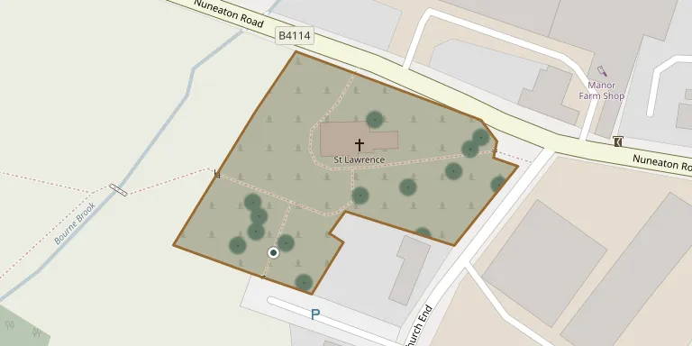
The churchyard surrounds the Church of St Lawrence (St Laurence) in Ansley, Warwickshire, a Grade II* listed building. The church dates from the medieval period and was later extended. The churchyard contains a listed medieval cross base and is recorded by the Commonwealth War Graves Commission.
Cemetery location
GPS: GPS coordinates: 52.530441° N, 1.574240° W Directions in Google Maps (opens in a new tab)
Memorials
24 memorials, A–Z by surname.
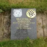 Mark Brandrick 1961 – 2006
 Florrie Cartwright 1917 – 1978
- John Cartwright 1914 – 1999
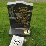 Alice Cooper 1917 – 2004
- Victor Cooper 1915 – 1968
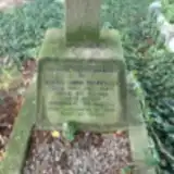 Hannah Drakeley ? – 1938
- Isaac Drakeley 1876 – 1943
 David Hall 1864 – 1942
- Emma Hall ? – 1935
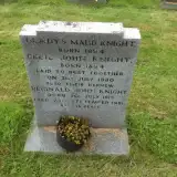 Cecil Knight 1894 – 1980
- Reginald Knight 1915 – 1981
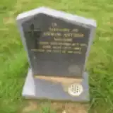 Edwin Moore 1921 – 1983
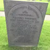 James Orton ? – 1837
- James Orton ? – 1857
- Samuel Orton ? – 1846
- Susannah Orton 1786 – 1857
 William Phillips 1849 – 1929
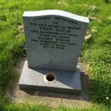 Fred Toon 1888 – 1943
- Mary Toon ? – 1959
 Douglas Wakeford-Davy 1937 – 1990
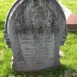 Richard Weetman 1849 – 1892
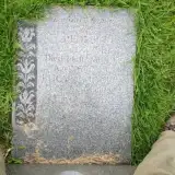 Frederick Whapples 1900 – 1956
- Lucy Whapples ? – 1991
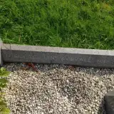 Ada Worrall 1887 – 1948
Looking for someone who isn't listed? Request a photo.
Nearby cemeteries
The closest other burial grounds listed on EveryStone.
- St Wilfreds Parish Churchyard 2.1 km away · Arley
- Hartshill Cemetery 3.8 km away · Hartshill
- Astley (Saint Mary the Virgin) Churchyard 3.8 km away · Astley · 8 records
- St. Leonard Churchyard 3.9 km away · Over Whitacre
- Nuneaton (Bucks Hill) Cemetery 4.0 km away · Nuneaton · 150 records
- Shustoke Churchyard, St Cuthberts 4.9 km away · Shustoke
- Mancetter Cemetery 5.1 km away · Mancetter
- St Peter Churchyard 5.1 km away · Mancetter
- St Mary & All Saints Churchyard 5.5 km away · Fillongley
- Hurley Cemetery 5.5 km away · Hurley
Contribute with the app
Our website works smoothly on both desktop and mobile devices. Prefer a native app? Check it out below.
- Capture clear headstone photos
- Save GPS grave locations automatically
- Transcribe inscriptions with our AI
- Suggest corrections to existing records
Common questions
How big is Ansley (Saint Laurence) Churchyard?
Ansley (Saint Laurence) Churchyard covers about 7,260 m² (1.8 acres), about the size of a soccer field. It is the 55th largest of the 234 cemeteries we list in Warwickshire.
What is the oldest grave in this cemetery?
The oldest grave among the records we hold for Ansley (Saint Laurence) Churchyard is that of James Orton, who died on January 18, 1837.