
Cemetery #33899
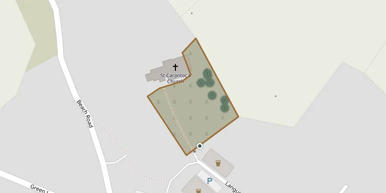
Crantock (St Carantoc) Churchyard
Also known as St Carantoc Church, Crantock
13
documented records
≈ 56–110
approx. capacity (graves)
2,790 m²
cemetery area
Nov 5, 2026
last modified
About this cemetery
The churchyard surrounds St Carantoc's Church in Crantock, Cornwall, an active Anglican parish church in the Diocese of Truro. The church was founded in Norman times and was originally cruciform, and it was reconstructed in the 14th and 15th centuries. It has been a Grade I listed building since 1951.
Cemetery location
GPS coordinates: 50.402721° N, 5.110389° W Directions in Google Maps (opens in a new tab)
Memorials
13 memorials, A–Z by surname.
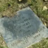 Annie Bamber 1907 – 1999
- Doug Bamber 1908 – 1989
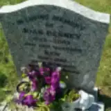 Joan Benney 1922 – 2003
- Ken Benney 1919 – 1985
 Ronald Bumby 1908 – 1977
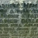 Eileen Disley 1915 – 1986
- James Disley ? – 1867
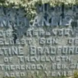 William Johns ? – 1910
- Alfred Martyn 1896 – 1969
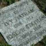 Joseph Statham 1904 – 1998
- Ivy Stattam 1906 – 1992
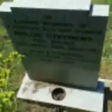 Leonard Stephens 1899 – 1989
- Nellie Stephens ? – 1963
Looking for someone who isn't listed? Request a photo.
Nearby cemeteries
The closest other burial grounds listed on EveryStone.
- Atlantic Road Cemetery 1.7 km away · Newquay
- Crantock Street Cemetery 1.7 km away · Newquay
- Cubert Cemetery 2.2 km away · Cubert
- St. Cubert Churchyard 2.8 km away · Cubert
- St. Columb Minor Cemetery 5.2 km away · St Columb Minor
- St Newlyn East Cemetery 5.4 km away · St Newlyn East
- Fairpark Cemetery 5.4 km away · St Columb Minor
- St. Newlina Churchyard 5.6 km away · St Newlyn East · 6 records
- Cemetery near Newquay 7.8 km away · Newquay
- Perranzabuloe Churchyard 8.6 km away · Perranzabuloe
Contribute with the app
Our website works smoothly on both desktop and mobile devices. Prefer a native app? Check it out below.
- Capture clear headstone photos
- Save GPS grave locations automatically
- Transcribe inscriptions with our AI
- Suggest corrections to existing records
Common questions
How big is Crantock (St Carantoc) Churchyard?
Crantock (St Carantoc) Churchyard covers about 2,790 m² (0.7 acres), about the size of 11 tennis courts. It is the 114th smallest of the 350 cemeteries we list in Cornwall.
What is the oldest grave in this cemetery?
The oldest grave among the records we hold for Crantock (St Carantoc) Churchyard is that of James Disley, who died in 1867.