
Cemetery #340727
Karhumäki Cemetery
Local name: Karhumäen hautausmaa
Also known as Tainionkoski Heroes' Cemetery · Tainionkosken sankarihautausmaa
24
documented records
≈ 2,300–4,600
approx. capacity (graves)
0.116 km²
cemetery area
Nov 5, 2026
last modified
About this cemetery
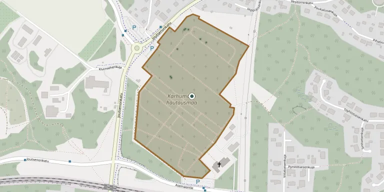
Karhumäki Cemetery in Imatra was founded in 1933 and belongs to the Imatra parish. The area is 19 hectares, of which about 10 are in burial use. It was formerly known as Tainionkoski Cemetery.
Cemetery location
GPS coordinates: 61.194972° N, 28.749189° E Directions in Google Maps (opens in a new tab)
Memorials
24 memorials, A–Z by surname.
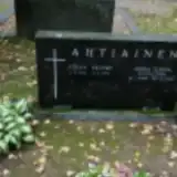 Anna Ahtiainen 1909 – 2002
- Johan Ahtiainen 1903 – 1984
 Frans Ari 1868 – 1949
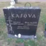 Eero Kajova 1942 – 2001
- Hilja Kajova 1900 – 1993
- Reino Kajova 1899 – 1965
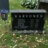 Erkki Karvonen 1945 – 1947
- Helmi Karvonen 1921 – 1983
- Maria Karvonen 1892 – 1971
- Pekka Karvonen 1874 – 1941
 Anna Patja 1880 – 1962
- Helvi Patjas 1929 – 2012
- Onni Patjas 1923 – 2006
- Liisa Piironen 1927 – 2012
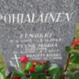 Eenokki Pohjalainen 1907 – 1968
- Pentti Pohjalainen ? – 2008
- Tyyne Pohjalainen 1908 – 1997
 Helmi Ruhanen 1904 – 1993
- Veiner Ruhanen 1898 – 1962
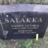 Aukusti Salakka 1891 – 1975
- Vappu Salakka 1894 – 1960
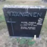 Aune Väänänen 1910 – 1965
- Olavi Väänänen 1908 – 1997
- Jouko Virtanen 1924 – 1957
Looking for someone who isn't listed? Request a photo.
Nearby cemeteries
The closest other burial grounds listed on EveryStone.
- Imatra Heroes' Cemetery 180 m away · Imatra · 8 records
- Rauha Cemetery 2.9 km away · Lappeenranta · 24 records
- Imatrankoski Heroes' Cemetery 3.3 km away · Imatra · 7 records
- Vuoksenniska Heroes' Cemetery 5.1 km away · Imatra · 3 records
- Ruokolahti Cemetery 11 km away · Ruokolahti · 2 records
- Ruokolahti Heroes' Cemetery 11 km away · Ruokolahti · 9 records
- Joutseno Heroes' Cemetery 16 km away · Joutseno · 10 records
- Joutseno Old Cemetery 16 km away · Joutseno · 7 records
- Joutseno Cemetery 16 km away · Lappeenranta · 8 records
- Rautjärvi Cemetery, Rautjärvi 24 km away · Rautjärvi · 8 records
Contribute with the app
Our website works smoothly on both desktop and mobile devices. Prefer a native app? Check it out below.
- Capture clear headstone photos
- Save GPS grave locations automatically
- Transcribe inscriptions with our AI
- Suggest corrections to existing records
Common questions
How big is Karhumäki Cemetery?
Karhumäki Cemetery covers about 11.6 hectares (116,000 m²), about the size of 16 soccer fields. It is the 2nd largest of the 47 cemeteries we list in South Karelia.
What is the oldest grave in this cemetery?
The oldest grave among the records we hold for Karhumäki Cemetery is that of Pekka Karvonen, who died in 1941 at the age of 67.