
Cemetery #34081
Whyteleafe (Saint Luke) Churchyard
Also known as St Luke Church, Whyteleafe
26
documented records
≈ 170–350
approx. capacity (graves)
8,710 m²
cemetery area
Nov 5, 2026
last modified
About this cemetery
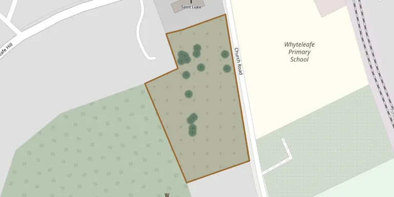
St Luke's is the parish church of Whyteleafe, Surrey, and its quite large graveyard stretches mainly to the south of the church. When the Second World War broke out in 1939, a special plot known as the Airman's Corner was set aside for the burial of airmen from the Kenley and Whyteleafe RAF station.
Cemetery location
GPS: GPS coordinates: 51.308121° N, 0.082770° W Directions in Google Maps (opens in a new tab)
Memorials
26 memorials, A–Z by surname.
 Alan Baker 1924 – 2008
- Phyllis Baker 1924 – 1999
 Emily Bradley ? – 1971
- Henry Bradley 1843 – 1937
- Sarah Bradley ? – 1943
 Basil Broadway 1903 – 1926
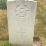 Leonard Burke 1918 – 1941
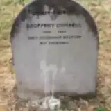 Geoffrey Cornell 1939 – 1990
 Violet Fletcher 1878 – 1944
 Jeanne Grieve ? – 1937
- William Grieve 1856 – 1911
 Sarah Hollawood ? – 1913
- Edwom Holmwood 1895 – 1935
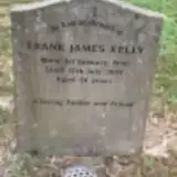 Frank Kelly 1950 – 2004
 Albert Killick ? – 1917
- Eliza Killick 1861 – 1941
- Emily Killick ? – 1909
- George Killick ? – 1947
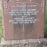 George Knight 1857 – 1937
- Mary Knight 1860 – 1936
 Jane Smallbone 1887 – 1941
 Emma Titman 1894 – 1940
 Gertrude Warwick 1835 – 1907
- Walter Warwick 1862 – 1931
 Gary Washington 1958 – 1992
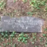 Henry Weatherstone 1843 – 1909
Looking for someone who isn't listed? Request a photo.
Nearby cemeteries
The closest other burial grounds listed on EveryStone.
- All Saints Churchyard 2.0 km away · Warlingham · 18 records
- St John the Evangelist Church, Coulsdon 2.5 km away · Coulsdon · 25 records
- Chaldon Cemetery 2.8 km away · Chaldon
- Caterham Cemetery 2.9 km away · Caterham · 2 records
- St. Mary the Virgin Churchyard 2.9 km away · Caterham
- St Lawrences Church, Caterham 2.9 km away · Caterham
- Greenlawn Memorial Park 3.0 km away · Warlingham
- All Saints Church, Sanderstead 3.3 km away · Sanderstead
- Great Park Wood Cemetery 3.8 km away · Farleigh
- St Marys Churchyard 3.9 km away · Farleigh
Contribute with the app
Our website works smoothly on both desktop and mobile devices. Prefer a native app? Check it out below.
- Capture clear headstone photos
- Save GPS grave locations automatically
- Transcribe inscriptions with our AI
- Suggest corrections to existing records
Common questions
How big is Whyteleafe (Saint Luke) Churchyard?
Whyteleafe (Saint Luke) Churchyard covers about 8,710 m² (2.2 acres), about the size of a soccer field. It is the 67th largest of the 219 cemeteries we list in Surrey.
What is the oldest grave in this cemetery?
The oldest grave among the records we hold for Whyteleafe (Saint Luke) Churchyard is that of Gertrude Mary Warwick, who died on February 16, 1907 at the age of 72.