
363
documented records
≈ 370–540
approx. capacity (graves)
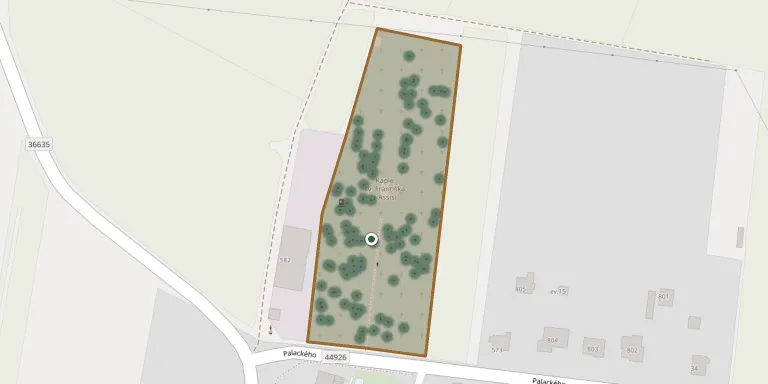
0.013 km²
cemetery area
Nov 5, 2026
last modified
About this cemetery
The original burial ground around the parish church of St James the Elder in Kostelec na Hané was closed in 1912. Burials began at the present municipal cemetery the same year.
Cemetery location
GPS coordinates: 49.518799° N, 17.061899° E Directions in Google Maps (opens in a new tab)
Memorials
Showing the first 50 of 363, A–Z by surname. Search all records
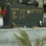 Jan Bartošek 1875 – 1962
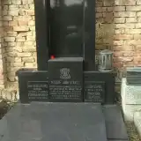 Ludmila Bátrová 1879 – 1947
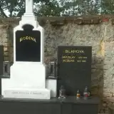 Jaroslav Blaha 1899 – 1966
- Růžena Blahova 1913 – 1989
 Josef Bomber 1923 – 1984
- Marie Bomberová 1903 – 1985
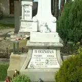 Jan Božek 1867 – 1955
- Vojtěch Božek 1920 – 1989
- Anna Božková 1888 – 1969
- Josefa Božková 1925 – 1977
- Marie Božková 1903 – 1935
 Antonín Černý 1924 – 1981
- Josef Černý 1899 – 1977
 Anežka Coufalová 1929 – 1950
- Marie Dobrovolná 1921 – 2000
- Bohumil Dobrovolný 1923 – 1995
 Marie Dohnalová 1901 – 1986
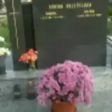 Helena Doležalová 1921 – 2008
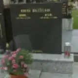 Bohumil Doležel 1911 – 1983
- Bohumil Doleželov 1911 – 1983
- Helena Doleželová 1921 – 2008
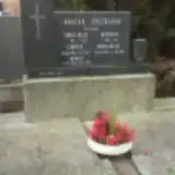 Antonín Dostál 1880 – 1953
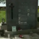 František Dostál 1908 – 1965
- Jaroslav Dostál ? – 1966
 Josef Dostál 1914 – 1978
- Josef Dostál 1876 – 1947
 Vladimír Dostál 1915 – 1981
- Anastázie Dostálová 1877 – 1931
- Anastázie Dostálová 1907 – 1986
- Anděla Dostálová 1912 – 1988
- Květoslava Dostálová 1922 – 2005
- Ludmila Dostálová 1905 – 1977
- Ludmila Dostálová 1914 – 1989
 Karel Drápal 1904 – 1975
- Miloslav Drápal 1935 – 2010
- Ludmila Drápalová 1912 – 1991
 Ivana Drčková 1957 – 2004
 Marie Esanskych 1903 – 1975
 Jan Gracias 1909 – 1976
- Jiří Gracias 1948 – 1994
- Marie Graciasová 1912 – 1987
 Miloslav Gregor 1948 – 1998
- Vojtěch Gregora 1917 – 1992
 Arnošt Grimm 1920 – 2012
- Pavlínka Grimmelová 1951 – 1951
- Marie Grimmová 1927 – 2013
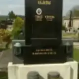 Tomáš Hájek 1877 – 1932
- Anna Hájková 1918 – 1992
- Veronika Hájková 1878 – 1944
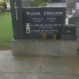 Filomena Hlaviznová 1891 – 1968
Looking for someone who isn't listed? Request a photo.
Nearby cemeteries
The closest other burial grounds listed on EveryStone.
- Stařechovice Cemetery 1.5 km away · Stařechovice · 17 records
- Lešany Cemetery 3.1 km away · Lešany · 12 records
- Smržice Cemetery 3.6 km away · Smržice · 358 records
- Hrobka Silva-Tarouců 3.7 km away · Čechy pod Kosířem
- Čechy pod Kosířem Cemetery 4.4 km away · Čechy pod Kosířem · 68 records
- Ohrozim Cemetery 4.7 km away · Ohrozim · 67 records
- Mostkovice Cemetery 4.9 km away · Mostkovice · 598 records
- Zdětín Cemetery 5.0 km away · Zdětín · 45 records
- Slatinice Cemetery 5.2 km away · Slatinice · 166 records
- Hluchov Cemetery 5.6 km away · Hluchov · 20 records
Contribute with the app
Our website works smoothly on both desktop and mobile devices. Prefer a native app? Check it out below.
- Capture clear headstone photos
- Save GPS grave locations automatically
- Transcribe inscriptions with our AI
- Suggest corrections to existing records
Common questions
How big is Kostelec na Hané Cemetery?
Kostelec na Hané Cemetery covers about 13,000 m² (3.1 acres), about the size of 2 soccer fields. It is the 23rd largest of the 413 cemeteries we list in Olomouc Region.
What is the oldest grave in this cemetery?
The oldest grave among the records we hold for Kostelec na Hané Cemetery is that of Jiří Švéda, who died in 1857 at the age of 12.