
Cemetery #34485
West Road Cemetery and Crematorium
Also known as Newcastle West Road Crematorium & Cemetery · West Road Cemetery, Newcastle upon Tyne
82
documented records
≈ 1,500–3,100
approx. capacity (graves)
0.077 km²
cemetery area
Nov 5, 2026
last modified
About this cemetery
West Road Cemetery and Crematorium in Newcastle upon Tyne is run by Newcastle City Council, which has ten cemeteries and one crematorium in the city. Members of the United Kingdom and Commonwealth forces from the 1939-1945 war are recorded here.
Cemetery location
GPS: GPS coordinates: 54.983513° N, 1.677475° W Directions in Google Maps (opens in a new tab)
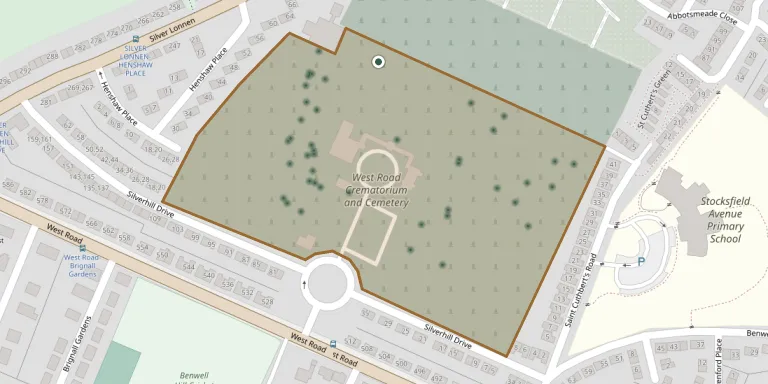
Memorials
Showing the first 50 of 82, A–Z by surname. Search all records
 Lena Alexander ? – 1958
 Lynn Alexander 1958 – 2020
- William Alexander 1921 – 1947
 Margaret Anderson ? – 1965
- Paul Anderson 1964 – 1965
- Robert Anderson ? – 1965
 Audrey Apap-Bologna 1925 – 2003
 Eva Appleby 1916 – 1998
- William Appleby ? – 1986
 Gloria Ardali 1940 – 2013
 Geoffrey Armstrong ? – 1976
- Gladys Armstrong 1909 – 1997
 Maureen Avery 1937 – 2018
- Tony Avery 1961 – 2003
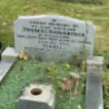 Isabel Bainbridge ? – 2001
- Thomas Bainbridge 1902 – 1959
 George Bell 1891 – 1987
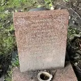 James Bell ? – 1998
- William Bell 1897 – 1980
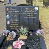 David Bennett 1946 – 2016
- Hillary Bennett 1948 – 2021
- Joyce Bennett 1927 – 2012
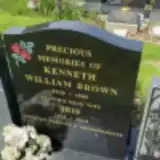 Kenneth Brown 1936 – 1989
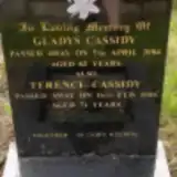 Gladys Cassidy ? – 2004
- Terence Cassidy 1935 – 2006
 Emma Chadwick 1885 – 1953
- Frank Chadwick 1883 – 1964
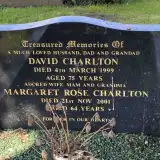 David Charlton 1924 – 1999
- Margaret Charlton ? – 2001
 Kerry Conder 1987 – 2015
- Rosie Conder ? – 2016
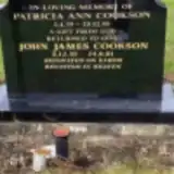 Patricia Cookson 1939 – 1995
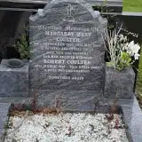 Margaret Coulter 1930 – 2004
- Robert Coulter 1927 – 2007
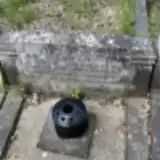 Sarah Crabtree 1876 – 1948
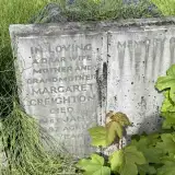 Margaret Creighton 1922 – 1987
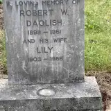 Lily Daglish 1903 – 1986
- Robert Daglish 1898 – 1951
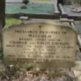 Edith Davison ? – 1987
- George Davison 1905 – 1960
- Malcolm Davison ? – 1950
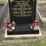 George Dewar 1934 – 2019
- Nora Dewar 1911 – 1941
 Darina Dickson 1934 – 2004
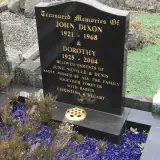 Dorothy Dixon 1925 – 2004
 James Dixon 1928 – 2013
- John Dixon 1921 – 1968
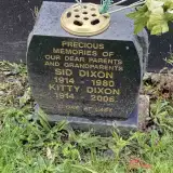 Kitty Dixon 1914 – 2006
 Leslie Dixon 1910 – 1960
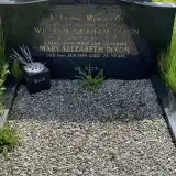 Mary Dixon 1925 – 1999
Looking for someone who isn't listed? Request a photo.
Nearby cemeteries
The closest other burial grounds listed on EveryStone.
- St James Churchyard 1.7 km away · Swalwell
- Saint Nicholas Cemetery 2.1 km away · Newcastle upon Tyne · 1 record
- Lemington Cemetery 2.3 km away · Newcastle upon Tyne · 16 records
- Saint John's Westgate and Elswick Cemetery 2.5 km away · Newcastle upon Tyne
- Westgate Hill General Cemetery 3.2 km away · Newcastle upon Tyne · 8 records
- Blaydon Cemetery 3.2 km away · Gateshead · 40 records
- St John's Church, Whorlton 3.2 km away · Westerhope
- Former St Pauls Church, Newcastle upon Tyne 3.3 km away · Newcastle upon Tyne
- Ashburton Roman Catholic Cemetery 3.6 km away · Gosforth
- Garden House Cemetery 3.6 km away · Swalwell
Contribute with the app
Our website works smoothly on both desktop and mobile devices. Prefer a native app? Check it out below.
- Capture clear headstone photos
- Save GPS grave locations automatically
- Transcribe inscriptions with our AI
- Suggest corrections to existing records
Common questions
How big is West Road Cemetery and Crematorium?
West Road Cemetery and Crematorium covers about 77,000 m² (19 acres), about the size of 11 soccer fields. It is the 12th largest of the 95 cemeteries we list in Tyne and Wear.
What is the oldest grave in this cemetery?
The oldest grave among the records we hold for West Road Cemetery and Crematorium is that of Raymond Hobby, who died on November 11, 1929.