
10
documented records
≈ 83–170
approx. capacity (graves)
4,130 m²
cemetery area
Oct 29, 2026
last modified
About this cemetery
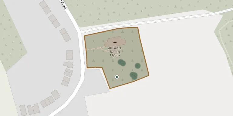
The churchyard belongs to All Saints Church in Barling, formerly Barling Magna, in the Rochford district of Essex. The village also includes the hamlets of Little Wakering and Stonebridge. The church is built of Kentish ragstone and is described as a fine example of Norman work, and the churchyard is recorded by the Commonwealth War Graves Commission.
Cemetery location
GPS: GPS coordinates: 51.572811° N, 0.786670° E Directions in Google Maps (opens in a new tab)
Memorials
10 memorials, A–Z by surname.
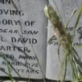 Paul Carter 1966 – 1972
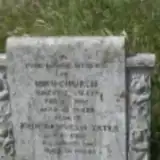 John Church ? – 1945
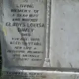 Gladys Davey 1921 – 1976
- Thomas Kenny ? – 2008
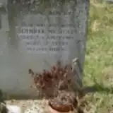 Phyllis Nicholls 1945 – 1983
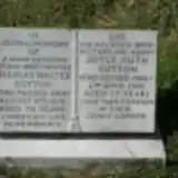 Charles Sutton 1908 – 1978
- Joyce Sutton ? – 1986
 Phyllis Taylor ? – 2000
- William Taylor 1906 – 1963
- John Yates 1929 – 1987
Looking for someone who isn't listed? Request a photo.
Nearby cemeteries
The closest other burial grounds listed on EveryStone.
- Little Wakering (Saint Mary the Virgin) Churchyard 1.4 km away · Little Wakering · 32 records
- St Nicholas Churchyard 2.7 km away · Great Wakering · 100 records
- St. Peter's Churchyard 3.4 km away · Paglesham
- St Mary the Virgin Church, Shoebury 3.5 km away · North Shoebury · 2 records
- Southend-on-Sea (Saint Mary the Virgin) Churchyard 3.6 km away · Southend-on-Sea · 16 records
- St Mary and All Saints Churchyard 3.9 km away · Rochford
- Southend-on-Sea (All Saints) Churchyard 4.4 km away · Southend-on-Sea · 8 records
- Holy Trinity Churchyard 4.7 km away · Southchurch · 48 records
- St Mary Churchyard 5.0 km away · Rochford
- St. Andrew the Apostle Churchyard 5.1 km away · Shoeburyness · 110 records
Contribute with the app
Our website works smoothly on both desktop and mobile devices. Prefer a native app? Check it out below.
- Capture clear headstone photos
- Save GPS grave locations automatically
- Transcribe inscriptions with our AI
- Suggest corrections to existing records
Common questions
How big is Barling (All Saints) Churchyard?
Barling (All Saints) Churchyard covers about 4,130 m² (1 acre), about half the size of a soccer field. It is the 181st smallest of the 484 cemeteries we list in Essex.
What is the oldest grave in this cemetery?
The oldest grave among the records we hold for Barling (All Saints) Churchyard is that of John Church, who died on February 16, 1945.