
Cemetery #34862
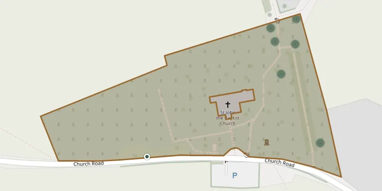
Sutton-at-Hone Burial Ground
Also known as Saint John the Baptist Churchyard · St John the Baptist Church, Sutton at Home
16
documented records
≈ 360–710
approx. capacity (graves)
0.018 km²
cemetery area
Nov 5, 2026
last modified
About this cemetery
The burial ground at St John's Church, Church Road, Sutton-at-Hone, is owned and maintained by Sutton-at-Hone & Hawley Parish Council. A map shows 1,772 burial plots in the area used since 1894. It contains three Commonwealth war graves, two from the First World War and one from the Second World War.
Cemetery location
GPS coordinates: 51.412762° N, 0.231108° E Directions in Google Maps (opens in a new tab)
Memorials
16 memorials, A–Z by surname.
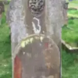 James Allen 1873 – 1899
 Francis Bossey 1809 – 1904
- Avers Eliza ? – 1893
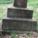 Capel Hanbury 1836 – 1901
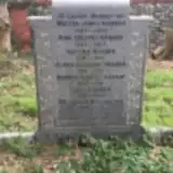 Ann Harber 1853 – 1933
- Clara Harber 1901 – 1911
- George Harber 1893 – 1960
- Jane Harber 1883 – 1961
- Nathan Harber 1881 – 1912
- Walter Harber 1859 – 1902
- Walter Harber 1898 – 1970
 Florence Johnson ? – 1978
- Thomas Johnson 1892 – 1968
 Annie Langlands 1863 – 1949
- Jack Langlands 1901 – 1965
- James Langlands 1862 – 1933
Looking for someone who isn't listed? Request a photo.
Nearby cemeteries
The closest other burial grounds listed on EveryStone.
- St Margaret of Antioch Churchyard 1.1 km away · Darenth
- St Mary Churchyard 2.2 km away · Horton Kirby
- St. Michael and All Angels Churchyard 2.4 km away · Wilmington · 4 records
- Lane End Cemetery 2.4 km away · Lane End
- St Paul Churchyard 2.4 km away · Swanley · 14 records
- Darenth Southern Rest Cemetery 2.6 km away · Darenth
- Dartford (Watling Street) Cemetery 3.1 km away · Dartford · 35 records
- East Hill Cemetery 3.3 km away · Dartford
- St Peter and St Paul Churchyard 3.7 km away · Farningham
- Stone Cemetery 3.7 km away · Stone · 11 records
Contribute with the app
Our website works smoothly on both desktop and mobile devices. Prefer a native app? Check it out below.
- Capture clear headstone photos
- Save GPS grave locations automatically
- Transcribe inscriptions with our AI
- Suggest corrections to existing records
Common questions
How big is Sutton-at-Hone Burial Ground?
Sutton-at-Hone Burial Ground covers about 18,000 m² (4.4 acres), about the size of 3 soccer fields. It is the 49th largest of the 475 cemeteries we list in Kent.
What is the oldest grave in this cemetery?
The oldest grave among the records we hold for Sutton-at-Hone Burial Ground is that of Avers Eliza, who died in 1893.