
Cemetery #34983
Kalvola Cemetery
Local name: Kalvolan hautausmaa
Also known as Kalvola hautausmaa
181
documented records
≈ 700–1,400
approx. capacity (graves)
0.035 km²
cemetery area
Nov 5, 2026
last modified
About this cemetery
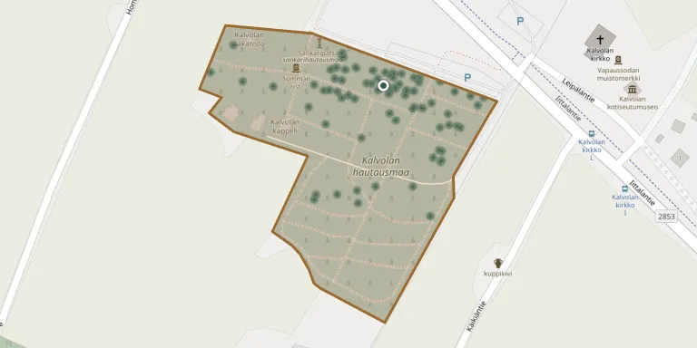
Kalvola Cemetery lies along Iittalantie, about a kilometre from the centre of Iittala. It is one of six cemeteries run by the Hämeenlinna-Vanaja parish in the Hämeenlinna town centre, Renko and Kalvola areas.
Cemetery location
GPS coordinates: 61.095486° N, 24.109118° E Directions in Google Maps (opens in a new tab)
Memorials
Showing the first 50 of 181, A–Z by surname. Search all records
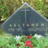 Anna Aaltonen 1916 – 1984
- Asseri Aaltonen 1922 – 1992
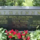 Alma Alhainen 1905 – 1933
- Eeva Alhainen 1919 – 1932
- Einari Alhainen 1898 – 1986
- Fanni Alhainen 1902 – 1961
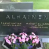 Margit Alhainen 1919 – 2009
- Paavo Alhainen 1914 – 1974
- Selma Alhainen 1900 – 1964
- Selma Alhainen 1895 – 1968
- Valteri Alhainen 1909 – 1914
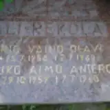 Arto Ali-Rekola 1958 – 1960
- Jouko Ali-Rekola 1959 – 1960
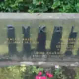 Eeva-Liisa Anttila 1923 – 2000
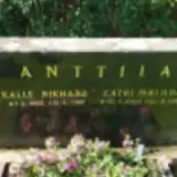 Kalle Anttila 1896 – 1987
- Katri Anttila 1904 – 1983
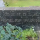 Elli Ekholm 1896 – 1965
- Johannes Ekholm 1899 – 1966
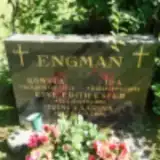 Eine Engman 1914 – 1994
- Ida Engman 1879 – 1965
- Konsta Engman 1878 – 1942
- Toini Engman 1943 – 1994
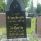 Kalle Greijula 1880 – 1959
- Lida Greijula 1848 – 1925
- Oskari Greijula 1846 – 1912
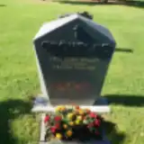 Anja Grönfors 1924 – 2002
 Paavo Hanska 1933 – 2015
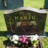 Esko Harju 1946 – 2009
 Aleksius Heinonen 1894 – 1975
- Lempi Heinonen 1908 – 1986
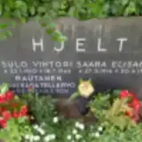 Saara Hjelt 1916 – 1998
- Sulo Hjelt 1910 – 1966
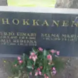 Alli Hokkanen 1931 – 2002
- Selma Hokkanen 1891 – 1973
- Yrjö Hokkanen 1907 – 1966
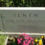 Seppo Ilmen 1948 – 1989
- Saima Ilmén 1913 – 1997
- Väino Ilmén 1907 – 1994
 Aarne Jokinen 1911 – 1991
- Ida Jokinen 1874 – 1945
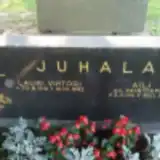 Aili Juhala 1911 – 1973
- Lauri Juhala 1916 – 1992
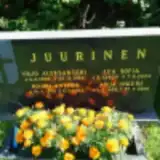 Anja Juurinen 1938 – 2018
- Lea Juurinen 1909 – 2005
- Mauri Juurinen 1938 – 2021
- Yrjö Juurinen 1909 – 1982
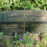 Hilja Kaaro 1902 – 1993
- Juho Kaaro 1895 – 1961
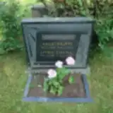 Kalle Kaaronoja 1897 – 1962
- Lyydia Kaaronoja 1901 – 1944
Looking for someone who isn't listed? Request a photo.
Nearby cemeteries
The closest other burial grounds listed on EveryStone.
- Turkinmäki Heroes' Cemetery 70 m away · Turkinmäki
- Lepaa Cemetery 12 km away · Lepaa
- Sääksmäki Cemetery 12 km away · Sääksmäki · 209 records
- Tyrväntö Heroes' Cemetery 14 km away · Tyrväntö
- Tyrväntö Cemetery 14 km away · Suotaala
- Toijala Old Cemetery 15 km away · Akaa
- Mierola Heroes' Cemetery 15 km away · Mierola
- Hattula Cemetery 15 km away · Hattula
- Akaa Cemetery 16 km away · Akaa · 47 records
- Hattula Cemetery of the Holy Cross 16 km away · Hattula
Contribute with the app
Our website works smoothly on both desktop and mobile devices. Prefer a native app? Check it out below.
- Capture clear headstone photos
- Save GPS grave locations automatically
- Transcribe inscriptions with our AI
- Suggest corrections to existing records
Common questions
How big is Kalvola Cemetery?
Kalvola Cemetery covers about 35,000 m² (8.7 acres), about the size of 5 soccer fields. It is the 10th largest of the 41 cemeteries we list in Kanta-Häme.
What is the oldest grave in this cemetery?
The oldest grave among the records we hold for Kalvola Cemetery is that of Oskari Greijula, who died on April 24, 1912 at the age of 66.