
3
documented records
≈ 36–71
approx. capacity (graves)
1,780 m²
cemetery area
Oct 13, 2026
last modified
About this cemetery
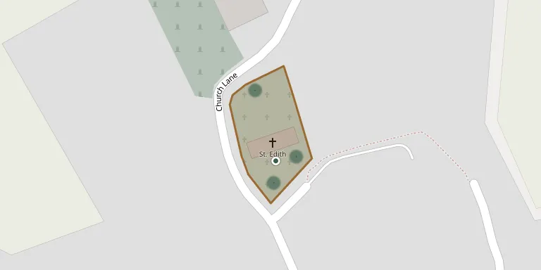
St Edith Anwick lies in Lincolnshire, United Kingdom.
Cemetery location
GPS coordinates: 53.041401° N, 0.339100° W Directions in Google Maps (opens in a new tab)
Memorials
3 memorials, A–Z by surname.
Looking for someone who isn't listed? Request a photo.
Nearby cemeteries
The closest other burial grounds listed on EveryStone.
- Ruskington Communal Cemetery 3.1 km away · Ruskington · 47 records
- All Saints Churchyard 3.2 km away · Ruskington
- St Andrew Ewerby 3.4 km away · Ewerby · 1 record
- St Mary -, Evedon 3.7 km away · Evedon · 3 records
- Saint Luke Churchyard, North Kyme 4.4 km away · North Kyme · 4 records
- Dorrington - St James & St John 4.7 km away · Dorrington · 9 records
- St Denys- Kirkby Laythorpe 4.8 km away · Kirkby Laythorpe with Asgarby · 8 records
- St. Oswald's Churchyard 4.8 km away · Howell
- St Andrew Churchyard 5.3 km away · Asgarby · 2 records
- St Thomas Becket Churchyard 5.4 km away · Digby · 4 records
Contribute with the app
Our website works smoothly on both desktop and mobile devices. Prefer a native app? Check it out below.
- Capture clear headstone photos
- Save GPS grave locations automatically
- Transcribe inscriptions with our AI
- Suggest corrections to existing records
Common questions
How big is St Edith Anwick?
St Edith Anwick covers about 1,780 m² (0.4 acres), about the size of 7 tennis courts. It is the 77th smallest of the 617 cemeteries we list in Lincolnshire.
What is the oldest grave in this cemetery?
The oldest grave among the records we hold for St Edith Anwick is that of Thomas Smith, who died on February 17, 1873 at the age of 75.