
Cemetery #352470
Cuts National Cemetery
Local name: Nécropole nationale de Cuts
0
documented records
≈ 210–410
approx. capacity (graves)
0.010 km²
cemetery area
Oct 18, 2026
last modified
About this cemetery
The national cemetery at Cuts was created in 1920 to gather soldiers killed in the Oise battles of 1914 and 1918. From 1920 to 1922 it also received bodies from provisional military cemeteries in the Oise. It is notable for its 396 Muslim stelae and is part of a World Heritage listing.
Cemetery location
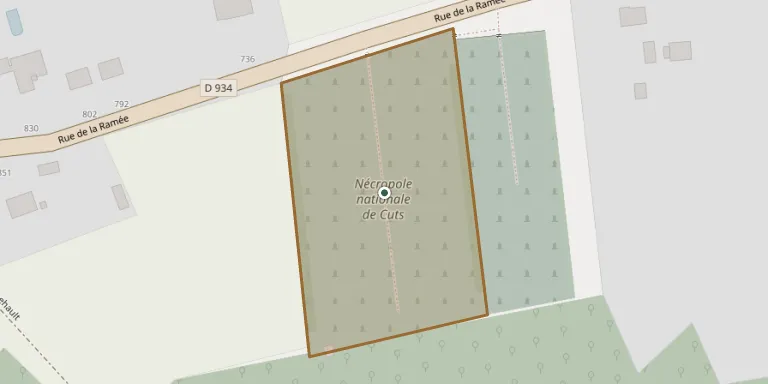
GPS: GPS coordinates: 49.528856° N, 3.092149° E Directions in Google Maps (opens in a new tab)
Memorials
No records yet
Photograph a headstone and add it to the archive.
Looking for someone who isn't listed? Request a photo.
Nearby cemeteries
The closest other burial grounds listed on EveryStone.
- Cuts Communal Cemetery 70 m away · Cuts
- Saint-Lucien Churchyard, Caisnes 1.5 km away · Caisnes
- Camelin Churchyard 3.1 km away · Camelin
- Camelin New Cemetery 3.1 km away · Camelin
- Pontoise-lès-Noyon Cemetery 4.3 km away · Pontoise-lès-Noyon
- Brétigny Communal Cemetery 4.6 km away · Brétigny
- Blérancourt Cemetery 4.7 km away · Blérancourt
- Varesnes Cemetery 4.8 km away · Varesnes
- Carlepont Cemetery 4.9 km away · Carlepont
- Besmé Cemetery 5.1 km away · Besmé
Contribute with the app
Our website works smoothly on both desktop and mobile devices. Prefer a native app? Check it out below.
- Capture clear headstone photos
- Save GPS grave locations automatically
- Transcribe inscriptions with our AI
- Suggest corrections to existing records
Common questions
How big is Cuts National Cemetery?
Cuts National Cemetery covers about 10,000 m² (2.5 acres), about the size of a soccer field. It is the 538th largest of the 4,957 cemeteries we list in Hauts-de-France.