
155
documented records
≈ 8k–16k
approx. capacity (graves)
0.402 km²
cemetery area
Nov 5, 2026
last modified
About this cemetery
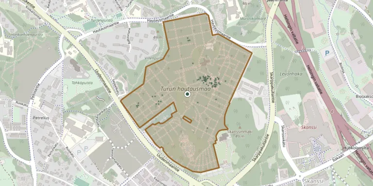
Turku Cemetery in the Vasaramäki district was taken into use in 1807 on a 1.5-hectare site designed by the architect Charles Bassi. It is the largest of the nine cemeteries of the Turku and Kaarina parish union, with about 45,000 graves, among them many of culturally and historically significant people.
Cemetery location
GPS coordinates: 60.431992° N, 22.308716° E Directions in Google Maps (opens in a new tab)
Memorials
Showing the first 50 of 155, A–Z by surname. Search all records
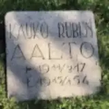 Kauko Aalto 1917 – 1954
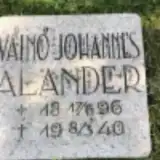 Väinö Alander 1896 – 1940
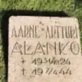 Aarne Alanko 1924 – 1944
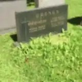 Maria Andersson 1878 – 1965
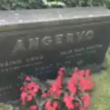 Hilja Angervo 1888 – 1966
- Pekka Angervo 1920 – 1942
- Väinö Angervo 1881 – 1948
 Abraham Berg 1820 – 1891
- Maria Berg 1835 – 1881
 Erik Bryggman 1891 – 1955
- Johan Bryggman 1925 – 1994
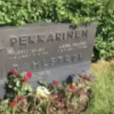 Seppo Dahlström 1937 – 2018
 Salome Eevi 1900 – 1969
- Elli Eronen 1919 – 1985
- Uno Eronen 1917 – 1965
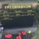 Aino Fredriksson 1897 – 1988
- Ebba Fredriksson 1909 – 1994
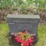 Einar Fredriksson 1903 – 1959
- Fransina Fredriksson 1866 – 1943
- Lempi Fredriksson 1894 – 1980
- Martti Fredriksson 1942 – 2012
- Seet Fredriksson 1864 – 1945
- Sigrid Fredriksson 1895 – 1971
- William Fredriksson 1899 – 1968
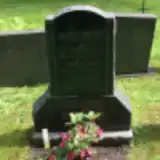 Berndt Granlund 1871 – 1958
- Eino Granlund 1906 – 1919
- Ida Granlund ? – 1955
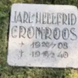 Jarl Grönroos 1908 – 1940
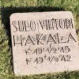 Sulo Hakala 1913 – 1942
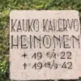 Kauko Heinonen 1922 – 1942
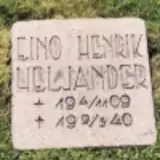 Eino Heljander 1909 – 1940
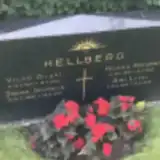 Aini Hellberg 1889 – 1972
- Hilkka Hellberg 1919 – 1945
- Johan Hellberg 1890 – 1955
- Viljo Hellberg 1914 – 1943
 Amalia Helle ? – 1911
- Augusta Helle 1892 – 1927
- Karin Helle 1876 – 1937
- Karl Helle 1890 – 1948
- Karl Helle 1889 – 1940
- Olga Helle 1882 – 1968
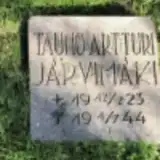 Tauno Järvimäki 1923 – 1944
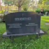 Amanda Järvinen 1855 – 1940
- Viktor Järvinen 1858 – 1943
 Emma Joutsi 1859 – 1943
- Taimi Joutsi 1891 – 1978
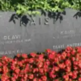 Kaisu Kaisti 1909 – 1999
- Olavi Kaisti 1908 – 1996
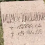 Pekka Kallakari 1914 – 1940
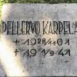 Pellervo Karpela 1901 – 1941
Looking for someone who isn't listed? Request a photo.
Nearby cemeteries
The closest other burial grounds listed on EveryStone.
- Turku Jewish Cemetery 120 m away · Turku
- Åbo Cemetery 150 m away · Vasaramäki
- Turku Muslim Cemetery 150 m away · Turku
- Turku Catholic Cemetery 160 m away · Turku
- Turku Orthodox Cemetery 240 m away · Turku
- Turku Cholera Cemetery 2.1 km away · Turku
- Turku Heroes' Cemetery 3.4 km away · Turku
- St. Catherine's Cemetery 3.5 km away · Turku
- Katariina Cemetery, Turku 3.5 km away · Turku
- Saint Mary's Churchyard 4.7 km away · Turku
Contribute with the app
Our website works smoothly on both desktop and mobile devices. Prefer a native app? Check it out below.
- Capture clear headstone photos
- Save GPS grave locations automatically
- Transcribe inscriptions with our AI
- Suggest corrections to existing records
Common questions
How big is Turku Cemetery?
Turku Cemetery covers about 40.2 hectares (402,000 m²), about the same size as Père Lachaise Cemetery in Paris. It is the largest of the 132 cemeteries we list in Southwest Finland.
What is the oldest grave in this cemetery?
The oldest grave among the records we hold for Turku Cemetery is that of Fredrika Gustava Lagerspetz, who died on February 4, 1867 at the age of 58.