
Cemetery #35591
St. Alban Churchyard
Also known as St. Alban’s Churchyard · St Albans Church, Earsdon · Earsdon Cemetery
37
documented records
≈ 980–2,000
approx. capacity (graves)
0.049 km²
cemetery area
Nov 5, 2026
last modified
About this cemetery
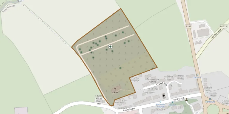
The churchyard surrounds St Alban's Church, Earsdon, designed by John and Benjamin Green and consecrated on 12 October 1837. It has strong tree coverage and is designated a Site of Local Conservation Importance. Earsdon Cemetery was created by the local authority in January 1938 from land at the northern end of the churchyard and is a separate burial ground.
Cemetery location
GPS: GPS coordinates: 55.047459° N, 1.500720° W Directions in Google Maps (opens in a new tab)
Memorials
37 memorials, A–Z by surname.
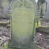 Ann Coxon 1832 – 1897
- Thomas Coxon ? – 1900
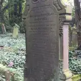 Johns Jacques 1843 – 1923
- Samuel Jacques ? – 1931
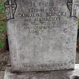 Dorothy Kopacki 1926 – 2000
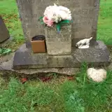 Alec Lewis 1912 – 1983
- Mary Lewis 1894 – 1970
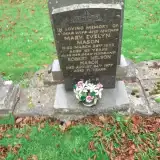 Mary Mason 1910 – 1973
- Robert Mason ? – 1977
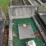 Jane Mowatt ? – 1978
- Jean Mowatt 1928 – 2006
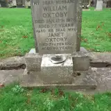 Janet Oxtoby ? – 1990
- William Oxtoby 1899 – 1976
- Alice Patterson ? – 1911
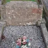 Minnie Robinson 1878 – 1949
- Thomas Robinson 1873 – 1942
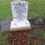 Brian Smith ? – 1985
- Dulcie Smith 1932 – 2018
- John Smith 1930 – 2002
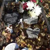 Connor Surrey 1992 – 1992
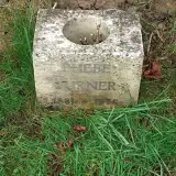 Phebe Turner 1881 – 1978
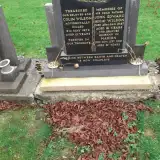 Colin Wilson ? – 1972
- Marion Wilson 1927 – 2019
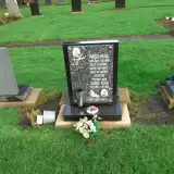 George Wood 1945 – 2016
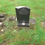 Georgina Wood 1905 – 1995
- Pamela Wood 1946 – 2019
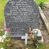 Gary Woodfield 1959 – 2012
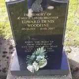 Edward Woodfine 1931 – 2007
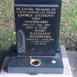 George Woodward ? – 2004
- Mary Woodward 1929 – 2018
 Elliott Wrightson 1929 – 1968
- Stephen Wrightson ? – 1919
- Violet Wrightson ? – 1955
 Hannah Yarrow 1930 – 2017
- Kenneth Yarrow 1930 – 2019
 John Young 1912 – 1982
- Mary Young 1928 – 2003
Looking for someone who isn't listed? Request a photo.
Nearby cemeteries
The closest other burial grounds listed on EveryStone.
- Whitley Bay Cemetery and Crematorium 3.2 km away · Whitley Bay
- St. Paul's Churchyard 3.4 km away · Whitley Bay
- Holy Trinity 3.4 km away · Seghill · 20 records
- Our Lady Churchyard 3.7 km away · Seaton Delaval
- Tynemouth Cemetery 4.4 km away · North Shields · 46 records
- Christ Church, North Shields 5.2 km away · North Tyneside
- Holy Cross Cemetery 5.3 km away · Wallsend · 57 records
- St. John's Churchyard 5.4 km away · Annitsford
- Benton Cemetery 5.6 km away · Forest Hall
- Holy Cross Church Ruins, Wallsend 5.7 km away · Wallsend
Contribute with the app
Our website works smoothly on both desktop and mobile devices. Prefer a native app? Check it out below.
- Capture clear headstone photos
- Save GPS grave locations automatically
- Transcribe inscriptions with our AI
- Suggest corrections to existing records
Common questions
How big is St. Alban Churchyard?
St. Alban Churchyard covers about 49,000 m² (12 acres), about the size of 7 soccer fields. It is the 18th largest of the 95 cemeteries we list in Tyne and Wear.
What is the oldest grave in this cemetery?
The oldest grave among the records we hold for St. Alban Churchyard is that of Ann Coxon, who died on April 15, 1897 at the age of 65.