
Cemetery #35613
Whitfield (Saint Peter) Churchyard
Also known as St Peters Church, Whitfield
20
documented records
≈ 76–150
approx. capacity (graves)
3,780 m²
cemetery area
Nov 5, 2026
last modified
About this cemetery
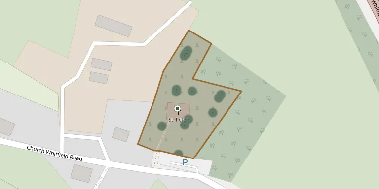
The churchyard surrounds the Church of St Peter at Whitfield, Kent, a Grade II* listed building extended around 1200. The Kent Historic Environment Record describes it as a Saxon church known as Beuesfeld, called Whitfield since the sixteenth century. The church now consists of a nave with a north aisle and a chancel.
Cemetery location
GPS coordinates: 51.165539° N, 1.303770° E Directions in Google Maps (opens in a new tab)
Memorials
20 memorials, A–Z by surname.
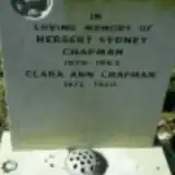 Clara Chapman 1875 – 1950
- Herbert Chapman 1876 – 1943
 Joan Coleman 1931 – 1999
 Richard Coleman 1791 – 1878
 Marshall Handley 1916 – 2008
 Francis Heal 1885 – 1961
 Edward Hopper 1886 – 1966
- May Hopper ? – 1942
 Sarah Kirby 1851 – 1928
 Albert Marsh 1891 – 1915
- Albert Marsh ? – 1918
- Ann Marsh ? – 1909
- George Marsh 1835 – 1907
 Nellie May 1886 – 1953
 Rose May 1717 – 1744
 Frederick Mills 1868 – 1919
 Joan Nelson 1919 – 2003
 Johanna Phelan 1916 – 1989
 Joyce Reynaert 1927 – 2007
- Kenneth Reynaert 1923 – 2010
Looking for someone who isn't listed? Request a photo.
Nearby cemeteries
The closest other burial grounds listed on EveryStone.
- Whitfield Cemetery 960 m away · Whitfield
- Guston (Saint Martin of Tours) Churchyard 1.6 km away · Guston · 3 records
- East Langdon (St Augustine) Churchyard 2.3 km away · East Langdon · 3 records
- Waldershare (All Saints) Churchyard 2.7 km away · Waldershare · 4 records
- Temple Ewell (St Peter & St Paul's) Churchyard 2.9 km away · Temple Ewell · 25 records
- Dover (Charlton) Cemetery 3.0 km away · Dover · 6 records
- St Peter and St Paul Churchyard 3.1 km away · River · 20 records
- Hackney, london, england 3.3 km away · Dover · 1 record
- Dover Jewish Cemetery 3.3 km away · Dover · 1 record
- St James Cemetery 3.4 km away · Dover · 288 records
Contribute with the app
Our website works smoothly on both desktop and mobile devices. Prefer a native app? Check it out below.
- Capture clear headstone photos
- Save GPS grave locations automatically
- Transcribe inscriptions with our AI
- Suggest corrections to existing records
Common questions
How big is Whitfield (Saint Peter) Churchyard?
Whitfield (Saint Peter) Churchyard covers about 3,780 m² (0.9 acres), about half the size of a soccer field. It is the 167th smallest of the 475 cemeteries we list in Kent.
What is the oldest grave in this cemetery?
The oldest grave among the records we hold for Whitfield (Saint Peter) Churchyard is that of Rose May, who died on February 17, 1744 at the age of 27.