
Cemetery #35747
Preston (St. Mildred) Churchyard
Also known as St Mildreds Church, Preston
10
documented records
≈ 71–140
approx. capacity (graves)
3,550 m²
cemetery area
Nov 5, 2026
last modified
About this cemetery
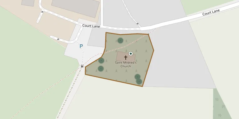
The churchyard surrounds St Mildred's Church at Preston, Kent, a Grade I listed building with Saxon origins and a mainly 13th-century structure. The church has unusual Victorian dormer windows, and the Victorian tiled roof of its square tower can be seen across the fields for some distance.
Cemetery location
GPS: GPS coordinates: 51.298580° N, 1.217540° E Directions in Google Maps (opens in a new tab)
Memorials
10 memorials, A–Z by surname.
 Florence Armstrong 1886 – 1889
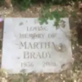 Martha Brady 1956 – 2009
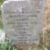 Albert Dilnot ? – 1956
- David Dilnot 1919 – 2000
 Alice Guy 1907 – 1982
 Ellen Harriss ? – 1967
- Frederick Harriss 1883 – 1958
- William Kent 1915 – 1995
- Winifred Kent 1911 – 1996
- Constance Travers 1921 – 2016
Looking for someone who isn't listed? Request a photo.
Nearby cemeteries
The closest other burial grounds listed on EveryStone.
- Elmstone Churchyard 1.7 km away · Preston · 2 records
- Stodmarsh (St Mary's) 2.4 km away · Kent · 2 records
- All Saints Churchyard 2.7 km away · Stourmouth
- St Andrew Churchyard 2.9 km away · Canterbury · 14 records
- St Mary the Virgin Churchyard 3.0 km away · Wingham · 31 records
- Ickham (St John the Evangelist) 3.1 km away · Ickham · 16 records
- Wingham Burial Ground 3.3 km away · Wingham
- Saint Mary The Virgin Churchyard 4.4 km away · Chislet · 4 records
- Staple (Saint James the Great) Churchyard 4.5 km away · Staple · 5 records
- Priory of St. Mary of Bethlehem Cemetery 4.8 km away · Ash
Contribute with the app
Our website works smoothly on both desktop and mobile devices. Prefer a native app? Check it out below.
- Capture clear headstone photos
- Save GPS grave locations automatically
- Transcribe inscriptions with our AI
- Suggest corrections to existing records
Common questions
How big is Preston (St. Mildred) Churchyard?
Preston (St. Mildred) Churchyard covers about 3,550 m² (0.9 acres), about half the size of a soccer field. It is the 146th smallest of the 475 cemeteries we list in Kent.
What is the oldest grave in this cemetery?
The oldest grave among the records we hold for Preston (St. Mildred) Churchyard is that of Florence Annie Armstrong, who died on January 10, 1889 at the age of 3.