
Cemetery #357472
Bellenglise Cemetery
Local name: Cimetière de Bellenglise
Also known as Cimetière communal de Bellenglise · Bellenglise Military Plot · Carre Militaire / Bellenglise
18
documented records
≈ 76–150
approx. capacity (graves)
3,780 m²
cemetery area
Nov 5, 2026
last modified
About this cemetery
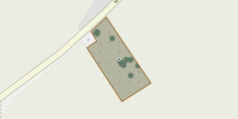
The communal cemetery of Bellenglise lies beside the D31, on the right before entering the village. It contains a French plot with the graves of 40 victims of the Great War, and a commemorative area honouring soldiers of the 10th Territorial Infantry Regiment.
Cemetery location
GPS coordinates: 49.918962° N, 3.237398° E Directions in Google Maps (opens in a new tab)
Memorials
18 memorials, A–Z by surname.
 Robert Biet 1900 – 1975
- Yvonne Biet 1898 – 1955
 Fernand Delval 1925 – 1992
 Henri Delval 1901 – 1990
- Suzanne Delval 1928 – 2006
 Arthur Demaret 1845 – 1905
 Paul Gorez 1910 – 2010
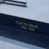 Odette Gras 1928 – 2020
- Yvos Gras 1925 – 2005
 Régine Jaminion 1910 – 1985
- Thérèse Journeaux 1910 – 1993
- Rosalie Lescot 1895 – 1994
 Christian Marechal 1934 – 2011
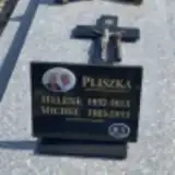 Michel Pliszka 1925 – 2013
 Rose Poidevin 1921 – 2005
 Bayard Pourplanque 1905 – 1965
 Camille Szule 1949 – 2009
- Sylvie Szule 1970 – 2005
Looking for someone who isn't listed? Request a photo.
Nearby cemeteries
The closest other burial grounds listed on EveryStone.
- La Baraque British Cemetery 1.3 km away · Bellenglise
- Pontruet Cemetery 1.6 km away · Pontruet
- Pontru British Military Cemetery 2.7 km away · Pontru
- Pontru Cemetery 2.7 km away · Pontru
- Lehaucourt Cemetery 3.0 km away · Lehaucourt
- Maissemy German Military Cemetery 3.6 km away · Maissemy · 5 records
- Gricourt Cemetery 3.6 km away · Fresnoy Le Petit
- Nauroy Cemetery 4.1 km away · Nauroy
- Nauroy Cemetery (rue de l'Omignon) 4.4 km away · Nauroy
- Uplands British Cemetery 4.5 km away · Magny-la-Fosse
Contribute with the app
Our website works smoothly on both desktop and mobile devices. Prefer a native app? Check it out below.
- Capture clear headstone photos
- Save GPS grave locations automatically
- Transcribe inscriptions with our AI
- Suggest corrections to existing records
Common questions
How big is Bellenglise Cemetery?
Bellenglise Cemetery covers about 3,780 m² (0.9 acres), about half the size of a soccer field. It is the 1,700th largest of the 4,957 cemeteries we list in Hauts-de-France.
What is the oldest grave in this cemetery?
The oldest grave among the records we hold for Bellenglise Cemetery is that of Arthur Demaret, who died on February 22, 1905 at the age of 59.