
Cemetery #3775
St. Leonard's Churchyard
Also known as St Leonards Church, Church End · St Leonard's Church Cemetery
48
documented records
≈ 110–210
approx. capacity (graves)
5,260 m²
cemetery area
Nov 5, 2026
last modified
About this cemetery
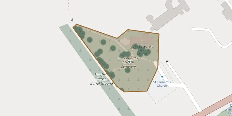
This is the churchyard of St Leonard's Church, which stands on the A33 just south of the main village of Sherfield on Loddon in Hampshire. The church is a Grade II listed building and serves the village and the Sherfield Park housing area. The churchyard is also recorded by the Commonwealth War Graves Commission.
Cemetery location
GPS coordinates: 51.306110° N, 1.037640° W Directions in Google Maps (opens in a new tab)
Memorials
48 memorials, A–Z by surname.
 Alison Barry 1965 – 2003
 Francis Carleton ? – 1907
 Phyllis Cooper 1929 – 2012
 Joyce Dorey 1933 – 1998
 Chris Eccles 1895 – 1988
- Vera Eccles 1901 – 1991
 Violet Evans 1904 – 1977
- Sydney Holdaway 1899 – 1973
 Sandy Johnston 1936 – 2018
 Alice Pigott 1848 – 1920
 Eliza Pigott 1815 – 1885
- Gertrude Pigott 1839 – 1916
- Shreeve Pigott 1812 – 1877
 Cecil Pyne 1921 – 1997
- Lilian Pyne 1924 – 2014
 Peter Reynolds 1932 – 2003
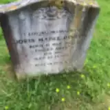 Doris Rivers 1913 – 2002
 Peter Roberts 1929 – 1986
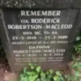 Daphne Robertson-Macleod 1920 – 2014
- Roderick Robertson-Macleod 1919 – 1989
 Mary Schmieder 1927 – 1996
 Albert Skelton ? – 1997
- Pamela Skelton 1934 – 1989
 Betty Smith 1933 – 1998
 Alison Taylor 1962 – 1962
- Jean Taylor 1930 – 2015
 John Thain 1942 – 2013
 Noel Toal 1938 – 2007
 Aspasia Tubb 1842 – 1920
 Daniel Tubb 1797 – 1867
 John Tubb 1842 – 1888
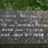 John Tubb 1879 – 1879
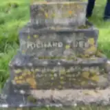 Richard Tubb 1837 – 1904
 Lilian Tye 1924 – 2000
 Jane Vine 1837 – 1923
 Kayla Walters 2005 – 2005
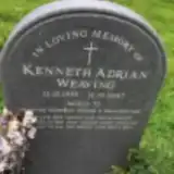 Kenneth Weaving 1935 – 2007
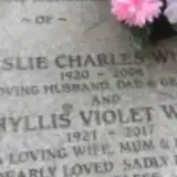 Leslie White 1920 – 2004
- Phyllis White 1921 – 2017
 Freda Willson 1924 – 2023
- George Willson 1926 – 1997
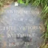 Ethel Wiltshire 1909 – 2010
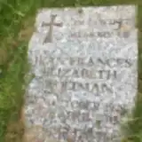 Jean Woltman 1928 – 2014
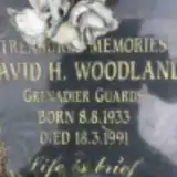 David Woodland 1933 – 1991
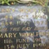 Harry Woolford 1896 – 1972
- Mary Woolford 1904 – 1990
 Frederick Wright 1919 – 1998
- Jean Wright 1926 – 2012
Looking for someone who isn't listed? Request a photo.
Nearby cemeteries
The closest other burial grounds listed on EveryStone.
- Sherfield Parish Burial Ground 40 m away · Church End · 6 records
- St Mary Churchyard 3.0 km away · Hartley Wespall
- Bramley (Saint James) Churchyard 3.5 km away · Bramley · 13 records
- Old Basing Cemetery 3.6 km away · Old Basing
- Rotherwick Churchyard 4.0 km away · Rotherwick
- St Nicholas Churchyard 4.2 km away · Newnham
- St. Swithun Churchyard 4.5 km away · Nately Scures
- St Andrew Churchyard 5.0 km away · Sherborne St John · 9 records
- St Mary Churchyard 5.2 km away · Stratfield Saye · 8 records
- Holy Ghost Cemetery 5.5 km away · Chapel Hill
Contribute with the app
Our website works smoothly on both desktop and mobile devices. Prefer a native app? Check it out below.
- Capture clear headstone photos
- Save GPS grave locations automatically
- Transcribe inscriptions with our AI
- Suggest corrections to existing records
Common questions
How big is St. Leonard's Churchyard?
St. Leonard's Churchyard covers about 5,260 m² (1.3 acres), about half the size of a soccer field. It is the 185th largest of the 466 cemeteries we list in Hampshire.
What is the oldest grave in this cemetery?
The oldest grave among the records we hold for St. Leonard's Churchyard is that of Daniel Tubb, who died in November 1867 at the age of 70.