
Cemetery #384694
Kiskunfélegyháza Lower Cemetery
Local name: Alsó temető, Kiskunfélegyháza
Also known as Irányi utca Cemetery, Kiskunfélegyháza · Irányi utcai temető
44
documented records
≈ 1,400–2,900
approx. capacity (graves)
0.071 km²
cemetery area
Nov 5, 2026
last modified
About this cemetery
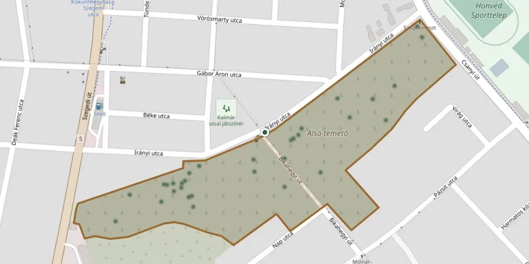
Kiskunfélegyháza Lower Cemetery lies in Bács-Kiskun, Hungary.
Cemetery location
GPS: GPS coordinates: 46.702575° N, 19.853239° E Directions in Google Maps (opens in a new tab)
Memorials
44 memorials, A–Z by surname.
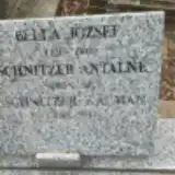 József Bella 1924 – 1985
 Ilona Besze 1912 – 1985
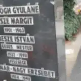 István Besze 1927 – 1998
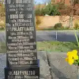 Rezső Blasity 1876 – 1934
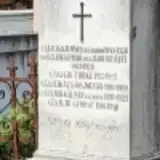 László Czajlik 1893 – 1974
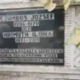 József Czombos 1908 – 1979
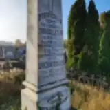 Lázár Dobos 1822 – 1894
 Antal Fekete 1923 – 2004
 Piroska Fricska 1922 – 1960
 Imre Gaál 1888 – 1915
 Mihály Görög 1928 – 1989
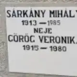 Veronika Görög 1915 – 1980
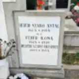 Erzsébet Herédi Szabó 1903 – 1954
 Jánosné Hevér 1905 – 1977
- Ilona Hrimuth 1921 – 2009
- Margit Ipacs 1924 – 1991
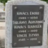 Endre Kovács 1940 – 1990
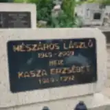 Erzsébet Mészáros 1949 – 1992
- László Mészáros 1945 – 2009
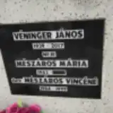 Vincéné Mészáros 1904 – 1999
 Károly Móczár 1917 – 1975
 József Némedi V. 1912 – 1989
- Károly Palásti 1899 – 1900
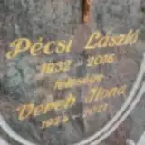 László Pécsi 1932 – 2016
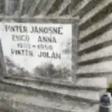 Anna Pintér 1900 – 1950
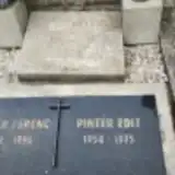 Edit Pintér 1954 – 1975
- Ferenc Pintér 1922 – 1996
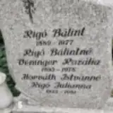 Bálint Rigó 1889 – 1977
- Julianna Rigó 1922 – 1981
- Kálmán Schnitzer 1943 – 2013
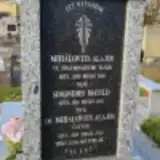 Matild Simonides 1861 – 1942
 Alice Sinkó ? – 1989
 Mária Stelczner 1888 – 1960
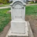 Andrásné Szemere 1852 – 1937
- Imre Szijártó 1929 – 2000
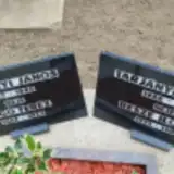
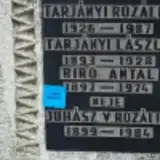 László Tarjányi 1893 – 1928
 Stefánia Tarjányi 1892 – 1912
 István Tóth 1887 – 1954
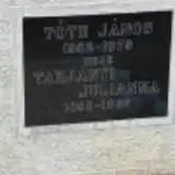 János Tóth 1882 – 1975
- László Tóth 1917 – 2000
- János Véninger 1939 – 2017
- Rozália Véninger 1893 – 1978
- Ilona Vereb 1934 – 2021
- Ailmina Zsoln 1890 – 1961
Looking for someone who isn't listed? Request a photo.
Nearby cemeteries
The closest other burial grounds listed on EveryStone.
- Kiskunfélegyháza Jewish Cemetery 1.2 km away · Kiskunfélegyháza
- Kiskunfélegyháza Upper Jewish Cemetery 2.0 km away · Kiskunfélegyháza
- Perczel utca Cemetery, Kiskunfélegyháza 2.3 km away · Kiskunfélegyháza · 92 records
- Gátér Cemetery 8.9 km away · Gátér
- Petőfiszállás Cemetery 10.0 km away · Petőfiszállás
- Kunszállás Public Cemetery 11 km away · Kunszállás
- Fülöpjakab Cemetery 11 km away · Fülöpjakab
- Bugac Public Cemetery 14 km away · Bugac
- Móricgát Cemetery 16 km away · Móricgát
- Jászszentlászló Cemetery 17 km away · Jászszentlászló
Contribute with the app
Our website works smoothly on both desktop and mobile devices. Prefer a native app? Check it out below.
- Capture clear headstone photos
- Save GPS grave locations automatically
- Transcribe inscriptions with our AI
- Suggest corrections to existing records
Common questions
How big is Kiskunfélegyháza Lower Cemetery?
Kiskunfélegyháza Lower Cemetery covers about 71,000 m² (18 acres), about the size of 10 soccer fields. It is the 11th largest of the 171 cemeteries we list in Bács-Kiskun.
What is the oldest grave in this cemetery?
The oldest grave among the records we hold for Kiskunfélegyháza Lower Cemetery is that of Lázár Dobos, who died on April 7, 1894 at the age of 72.