
Cemetery #3848
Szamotuły Parish Cemetery
Local name: Szamotuły, cmentarz parafialny
Also known as Cmentarz Parafialny, Szamotuły
203
documented records
≈ 890–1,800
approx. capacity (graves)
0.045 km²
cemetery area
Nov 5, 2026
last modified
About this cemetery
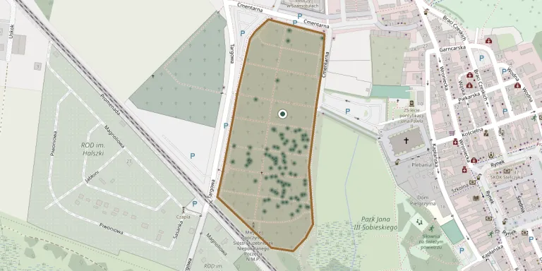
The parish cemetery in Szamotuły lies west of the collegiate church and was founded at the beginning of the 19th century. It belongs to the parish of Our Lady of Consolation and St Stanislaus the Bishop and is located at ul. Kapłańska 12.
Cemetery location
GPS: GPS coordinates: 52.612431° N, 16.573437° E Directions in Google Maps (opens in a new tab)
Memorials
Showing the first 50 of 203, A–Z by last name. Search all records
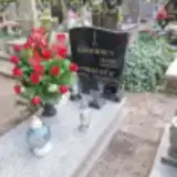 Zenon Bąkowski 1950 – 2007
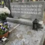 Niechciałkowska Bronisława 1911 – 1993
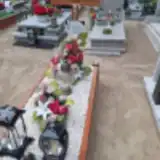 Wiesław Cherjan 1965 – 2013
 Michał Domagała 1900 – 1975
- Rozalia Domagała 1901 – 1956
 Zdzisław Florek 1946 – 2023
 Tadeusz Giera 1948 – 2018
- Helena Graczykowska 1913 – 1996
 Zenon Grociak 1932 – 1992
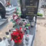 Stefania Gromadzińska 1935 – 2023
- Jan Gromadziński 1939 – 2009
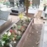 Kazimierz Hirschfeld 1942 – 2024
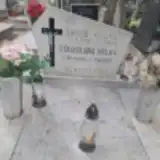 Jakub Holka 1906 – 1975
- Stanisława Holka 1901 – 1988
 Jadwiga Iwaszkiewicz 1888 – 1977
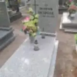 Dominik Jachniak 1950 – 2013
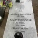 Marta Janicka 1902 – 1992
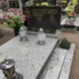 Czesława Jankowiak 1915 – 2009
- Jan Jankowiak 1911 – 1977
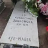 Katarzyna Jankowska 1895 – 1970
 Bronisław Jastrzębiec Grabowski 1881 – 1963
 Józef Jędruch 1948 – 2020
 Wiktoria Jędrzejczak 1890 – 1963
- Stanisław Józwiak 1891 – 1966
- Maria Jóźwiak 1891 – 1983
 Arkadiusz Kaczmarek 1963 – 2017
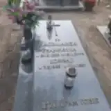 Franciszka Kaczmarek 1922 – 2006
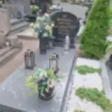 Joanna Kaczmarek 1894 – 1972
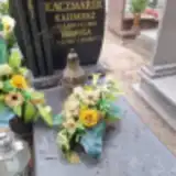 Kazimierz Kaczmarek 1937 – 2015
- Konrad Kaczmarek 1923 – 1987
- Leokadia Kaczmarek 1925 – 1995
- Walentyna Kaczmarek 1911 – 1990
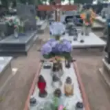 Henryk Karolczak 1930 – 1995
 Kazimiera Kasprowiak 1924 – 2013
- Piotr Kasprowiak 1923 – 1993
 Agnieszka Kędziora 1921 – 2011
 Andrzej Kierończyk 1939 – 2015
- Antoni Kierończyk 1939 – 2008
- Beata Kierończyk 1942 – 2022
 Bernard Kierzek 1940 – 2022
 Pelagia Kinowska 1923 – 2014
- Jan Kinowski 1921 – 1996
 Włodzimierz Kmicikiewicz 1912 – 1944
 Stefan Knaur 1915 – 1964
- Zofia Knaur 1920 – 1989
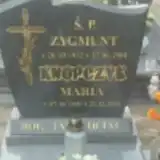 Zygmunt Knopczak 1932 – 2001
- Maria Knopczyk 1931 – 2001
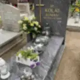 Roman Kolat 1934 – 2018
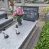 Pelagia Kołodziejska 1905 – 1993
- Stanisław Kołodziejski 1905 – 1986
Looking for someone who isn't listed? Request a photo.
Nearby cemeteries
The closest other burial grounds listed on EveryStone.
- Szamotuły Jewish Cemetery 20 m away · Szamotuły
- Szamotuły New Cemetery 160 m away · Szamotuły
- Szamotuły Lapidarium 440 m away · Szamotuły
- Gaj Mały Cholera Cemetery (19th century) 3.4 km away · Gaj Mały
- Szamotuły Cemetery 5.4 km away · Szamotuły
- Brodziszewo Roman Catholic Cemetery 5.8 km away · Brodziszewo
- Groby rodziny z Skrzypna Twardowskich 7.2 km away · Kobylniki
- Ostroróg Cemetery 7.7 km away · Ostroróg
- Słopanowo St. Nicholas Parish Cemetery 8.1 km away · Słopanowo
- Sokolniki Małe Evangelical Cemetery 9.2 km away · Sokolniki Małe
Contribute with the app
Our website works smoothly on both desktop and mobile devices. Prefer a native app? Check it out below.
- Capture clear headstone photos
- Save GPS grave locations automatically
- Transcribe inscriptions with our AI
- Suggest corrections to existing records
Common questions
How big is Szamotuły Parish Cemetery?
Szamotuły Parish Cemetery covers about 45,000 m² (11 acres), about the size of 6 soccer fields. It is the 39th largest of the 1,233 cemeteries we list in Greater Poland Voivodeship.
What is the oldest grave in this cemetery?
The oldest grave among the records we hold for Szamotuły Parish Cemetery is that of Ludwika Szymańska, who died on July 17, 1910.