
Cemetery #387451
Amara War Cemetery
Local name: مقبرة العمارة الحربية
0
documented records
≈ 500–1,000
approx. capacity (graves)
0.025 km²
cemetery area
Oct 18, 2026
last modified
About this cemetery
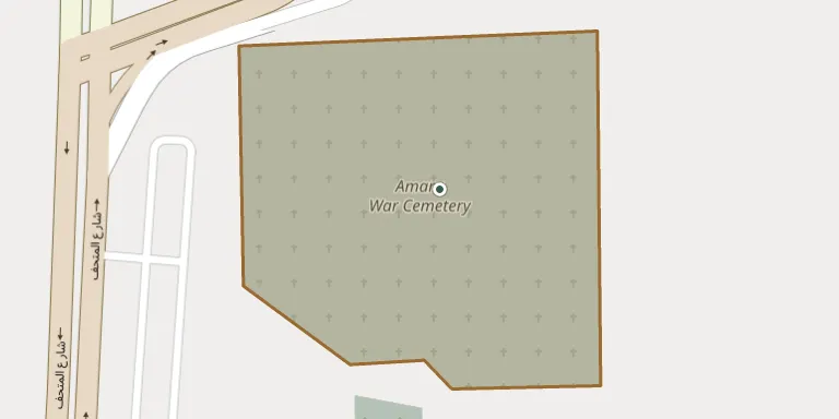
Amara War Cemetery is in Amarah, on the left bank of the Tigris in southern Iraq, a little east of the town. Amarah became a principal medical and burial centre for the Mesopotamian Expeditionary Force during the First World War. The Amara (Left Bank) Indian War Cemetery lies immediately to the south of this British cemetery. Visitors can read more on commonwealthwargravesiraq.org.
Cemetery location
GPS coordinates: 31.845400° N, 47.160600° E Directions in Google Maps (opens in a new tab)
Memorials
No records yet
Photograph a headstone and add it to the archive.
Looking for someone who isn't listed? Request a photo.
Nearby cemeteries
The closest other burial grounds listed on EveryStone.
- Amara (Left Bank) Indian War Cemetery 170 m away · Al ‘Amārah
- Amarah Old Cemetery 1.3 km away · Amarah
- Musian Cemetery 77 km away · Musian
- Chananeh Cemetery 83 km away · Chananeh
- Hoveyzeh Cemetery 96 km away · Hoveyzeh
- Andisheh Quarter Cemetery 96 km away · Dehloran
- Susangerd Abuzar Cemetery 100 km away · Susangerd
- Shahrak-e Bahram Cemetery 112 km away · Shahrak-e Bahram
- Maqbarat Maqām Şāḩib az Zamān 116 km away · Al-Salihiyah
- Kavar Cemetery 118 km away · Kavar
Contribute with the app
Our website works smoothly on both desktop and mobile devices. Prefer a native app? Check it out below.
- Capture clear headstone photos
- Save GPS grave locations automatically
- Transcribe inscriptions with our AI
- Suggest corrections to existing records
Common questions
How big is Amara War Cemetery?
Amara War Cemetery covers about 25,000 m² (6.2 acres), about the size of 4 soccer fields. It is the largest of the 3 cemeteries we list in Maysan Governorate.