
Cemetery #414926
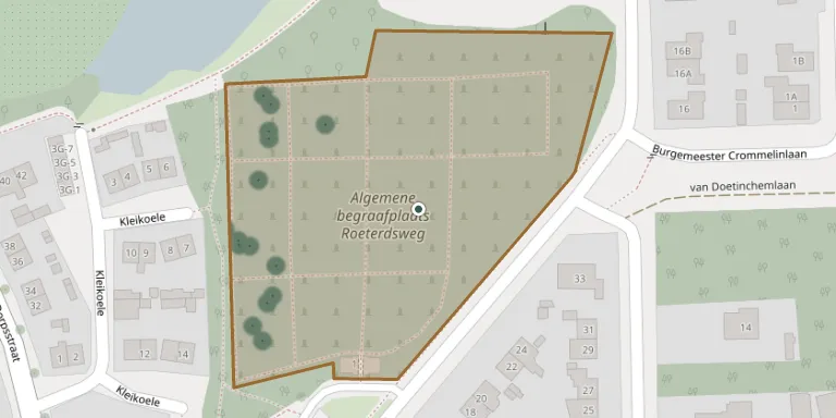
Roeterdsweg General Cemetery
Local name: Algemene begraafplaats Roeterdsweg
21
documented records
≈ 260–520
approx. capacity (graves)
0.013 km²
cemetery area
Nov 5, 2026
last modified
About this cemetery
This cemetery in Diepenveen was opened after the churchyard at Kerkplein had filled up. It has two parts: the oldest, opened in 1838, and an extension from 1930. Another source states that the site has been the general cemetery of Diepenveen since 1871. It is a municipal cemetery of Deventer.
Cemetery location
GPS coordinates: 52.291368° N, 6.147167° E Directions in Google Maps (opens in a new tab)
Memorials
21 memorials, A–Z by surname.
 Dirkje Alferink 1887 – 1913
 Willem Andersen 1862 – 1928
 Wijnanda Ankersmit-Musch 1926 – 1990
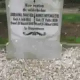 Jannes Doppengieter 1838 – 1905
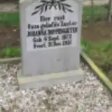 Johanna Doppengieter 1872 – 1931
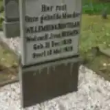 Willemken Groothaar 1855 – 1928
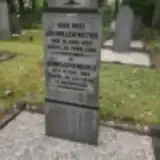 Gerrigjen Hengeveld 1863 – 1949
 Derk Kruissink 1848 – 1902
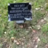 Alberdina Loois 1864 – 1916
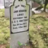 Jan Lueks 1872 – 1953
- Johanna Noever 1841 – 1902
 St-Berends Robert 1882 – 1972
- Gerhard Roeterd Steenbruggen 1830 – 1900
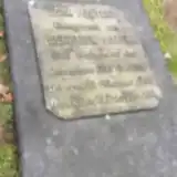 Derk Roetert 1798 – 1888
- Gehina Steenbrugge ? – 1963
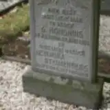 Hendrika Steunenberg 1869 – 1950
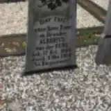 Albertus Van Der Burg 1900 – 1928
- Willem Van Deursen 1864 – 1938
- Jan Wiltink 1853 – 1926
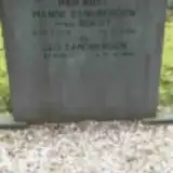 Manse Zandbergen 1908 – 1985
- v.d. Zandbergen 1908 – 1985
Looking for someone who isn't listed? Request a photo.
Nearby cemeteries
The closest other burial grounds listed on EveryStone.
- Diepenveen General Cemetery 60 m away · Diepenveen
- Tjoenerhof Cemetery, Diepenveen 1.4 km away · Diepenveen · 2 records
- Steenbrugge Cemetery 2.8 km away · Diepenveen
- R.K. H. Lebuinis, Deventer 3.2 km away · Deventer · 65 records
- Deventer Jewish Cemetery 3.5 km away · Deventer
- Deventer Old Cemetery 3.6 km away · Deventer
- Timmermansweg 34 4.2 km away · Schalkhaar · 8 records
- Voorst General Cemetery 4.3 km away · Deventer
- Terwolde General Cemetery 4.4 km away · Terwolde
- Boskamp Roman Catholic Cemetery 4.7 km away · Boskamp
Contribute with the app
Our website works smoothly on both desktop and mobile devices. Prefer a native app? Check it out below.
- Capture clear headstone photos
- Save GPS grave locations automatically
- Transcribe inscriptions with our AI
- Suggest corrections to existing records
Common questions
How big is Roeterdsweg General Cemetery?
Roeterdsweg General Cemetery covers about 13,000 m² (3.2 acres), about the size of 2 soccer fields. It is the 57th largest of the 245 cemeteries we list in Overijssel.
What is the oldest grave in this cemetery?
The oldest grave among the records we hold for Roeterdsweg General Cemetery is that of Derk Roetert, who died on February 21, 1888 at the age of 90.