
Cemetery #414960
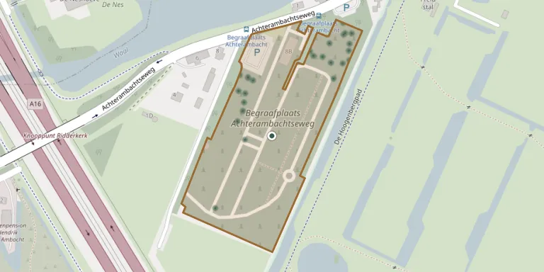
Achterambachtseweg Cemetery
Local name: Begraafplaats Achterambachtseweg
Also known as Achterambacht General Cemetery · Achterambacht
38
documented records
≈ 680–1,400
approx. capacity (graves)
0.034 km²
cemetery area
Oct 27, 2026
last modified
About this cemetery
Cemetery Achterambacht lies on the edge of Hendrik-Ido-Ambacht, beside the Waal and the Sandelingen-Ambacht nature area. It was laid out in 1968 and is run by the municipality. A funeral centre has stood next to it since 2011. Visitors can ring +31 78 770 2770 or check h-i-ambacht.nl.
Cemetery location
GPS: GPS coordinates: 51.847782° N, 4.610445° E Directions in Google Maps (opens in a new tab)
Memorials
38 memorials, A–Z by surname.
 Teunis Bezemer 1918 – 1972
 Hester Buitendijk 1891 – 1971
 Jannigje de Jong 1918 – 1981
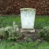 Pieter de Jong 1892 – 1991
- Pieter de Jong 1916 – 1992
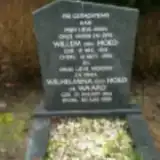 Willem den Hoed 1915 – 1994
 Maria de Regt 1911 – 1985
 Gerrit de Waard 1920 – 1969
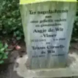 Teunis de Wit 1913 – 2005
- Aagje de Wit-Visser 1913 – 1968
 Johannes Dohmen 1935 – 1981
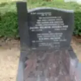 Machiel Helmink 1920 – 1994
- Jacoba Helmink-Steehouwer 1930 – 1994
 Joost Huizer 1907 – 1976
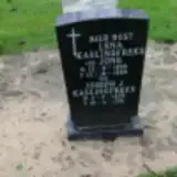 Joseph Kaulingfreks 1896 – 1981
- Lena Kaulingfreks-de Jong 1896 – 1980
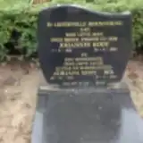 Johannes Kooy 1921 – 1993
- Adriana Kooy-Bol 1923 – 2001
 Neeltje Kornet 1929 – 1996
 Willem Kreuk 1904 – 1972
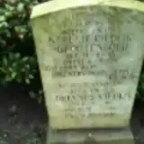 Adrianus Riedijk 1889 – 1983
- Neeltje Riedijk-Grootenboer 1888 – 1971
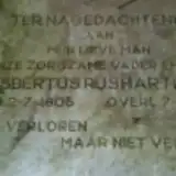 Gijsbertus Rushartland 1905 – 1968
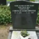 Cornelis Scheurwater 1924 – 2000
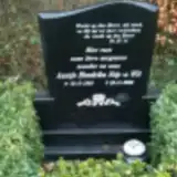 Aantje Stip-De Wit 1918 – 2000
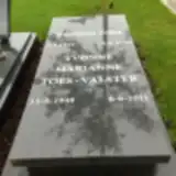 Barend Toes 1944 – 2008
- Yvonne Toes-Valster 1948 – 2011
 Aart van den Herik 1922 – 1993
 Christian van der Heide 1998 – 1998
- Hendrik van Dijk 1890 – 1970
 Janne van Doorn 2010 – 2011
- Willem van Helden 1914 – 1981
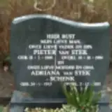 Peter van Stek 1909 – 1994
- Adriana van Stek-Schenk 1913 – 2003
 Pieter van Wingerden 1907 – 1988
- Pietertje van Wingerden-Plaisier 1907 – 1983
- Jannigje Vermeulen 1917 – 1991
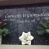 Cornelis Wijnmaalen 1932 – 2006
Looking for someone who isn't listed? Request a photo.
Nearby cemeteries
The closest other burial grounds listed on EveryStone.
- Waalhof General Cemetery, Hendrik-Ido-Ambacht 2.0 km away · Hendrik-Ido-Ambacht
- Rusthof Cemetery, Ridderkerk 2.6 km away · Ridderkerk
- Munnikensteeg Cemetery 2.6 km away · Zwijndrecht
- Vredehof Cemetery 2.7 km away · Ridderkerk
- Kijfhoek Churchyard 2.8 km away · Kijfhoek
- Zwijndrecht 3.1 km away · Zwijndrecht
- Zwijndrecht Jeroen Boschlaan Cemetery 3.3 km away · Zwijndrecht
- Heerjansdam General Cemetery 3.4 km away · Heerjansdam
- Alblasserdam General Cemetery 4.3 km away · Alblasserdam
- Dordrecht Old Dutch Reformed Churchyard 4.3 km away · Dordrecht
Contribute with the app
Our website works smoothly on both desktop and mobile devices. Prefer a native app? Check it out below.
- Capture clear headstone photos
- Save GPS grave locations automatically
- Transcribe inscriptions with our AI
- Suggest corrections to existing records
Common questions
How big is Achterambachtseweg Cemetery?
Achterambachtseweg Cemetery covers about 34,000 m² (8.4 acres), about the size of 5 soccer fields. It is the 37th largest of the 375 cemeteries we list in South Holland.
What is the oldest grave in this cemetery?
The oldest grave among the records we hold for Achterambachtseweg Cemetery is that of Aagje de Wit-Visser, who died on June 5, 1968 at the age of 54.