
Cemetery #419382
Wiry Parish Cemetery
Local name: Cmentarz Parafialny w Wirach
Also known as Wiry St. Florian Parish Cemetery · Wiry, cmentarz parafii pw. św. Floriana · Wiry, Cmentarz Parafii św. Floriana
477
documented records
≈ 480–720
approx. capacity (graves)
0.014 km²
cemetery area
Nov 5, 2026
last modified
About this cemetery
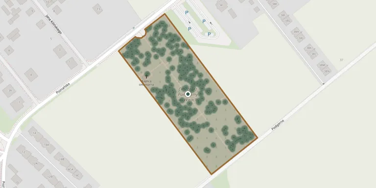
The present parish cemetery in Wiry, on Poznańska Street, was founded in 1845. Wiry lies in the commune of Komorniki, and the cemetery is associated with the parish of St. Florian.
Cemetery location
GPS: GPS coordinates: 52.321542° N, 16.857017° E Directions in Google Maps (opens in a new tab)
Memorials
Showing the first 50 of 477, A–Z by last name. Search all records
 Danuta Bakiera 1954 – 1999
- Zbigniew Bakiera 1952 – 2006
 Anna Bakowska 1897 – 1972
- Józef Bakowski 1896 – 1972
 Maria Banaszak 1894 – 1974
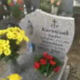 Agnieszka Bielak 1891 – 1976
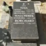 Marianna Borchard 1886 – 1977
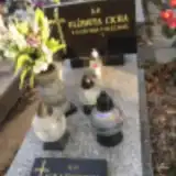 Elżbieta Cicha 1948 – 2015
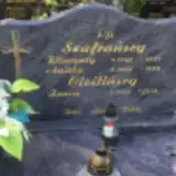 Zenon Cieśliński 1934 – 2016
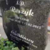 Helena Ćwikliński 1903 – 1986
- Stanisław Ćwikliński 1899 – 1968
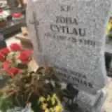 Zofia Cytlau 1937 – 2015
 Jonasz Czekalski 1904 – 1976
 Władysława Danielak 1935 – 1986
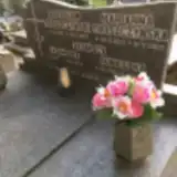 Kazimierz Dasiński ? – 1970
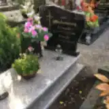 Pelagia Drachuniewska 1919 – 2011
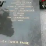 Antonina Gajowa 1897 – 1973
- Jakub Gajowy 1882 – 1956
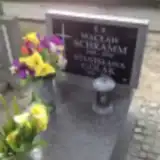 Stanisława Golak 1906 – 1986
 Ania Grześkiewicz 1978 – 2009
 Czestawa Hedzielska 1928 – 2017
- Stefan Hedzielski 1934 – 2016
 Agnieszka Jabłońska 1913 – 2006
- Leon Jabłoński 1913 – 1963
 Jarosław Jaśkowiak ? – 1998
 Stanisława Jedrys 1906 – 1998
 Edmund Kaczmarek 1919 – 1988
- Genowefa Kaczmarek 1930 – 2017
 Jan Kaczmarek 1937 – 1987
 Jan Kaczmarek 1911 – 2002
- Maria Kaczmarek 1906 – 1981
- Mirosława Kaczmarek 1950 – 2002
 Petronela Kaczmarek 1911 – 1978
- Stefan Kaczmarek 1903 – 1996
- Tekla Kaczmarek 1914 – 2006
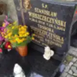 Wincenty Kaczmarek 1882 – 1951
 Helena Kajda 1941 – 1970
 Irena Kalinowska 1929 – 2003
- Franciszek Kalinowski 1925 – 2004
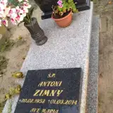 Stanisław Karas ? – 2005
 Andrzej Karaś 1853 – 1930
- Józefa Karaś 1863 – 1943
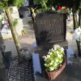 Czesław Kasztelan 1902 – 1968
- Leokadia Kasztelan 1913 – 1995
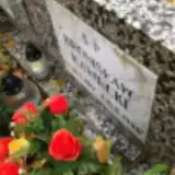 Bronisław Kawecki 1917 – 1980
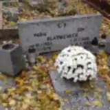 Jan Klatkiewicz 1920 – 1983
- Maria Klatkiewicz 1923 – 1979
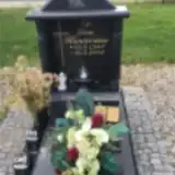 Ewa Konieczna 1953 – 2003
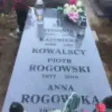 Stefania Kowalska 1929 – 1976
- Kazimierz Kowalski 1929 – 1981
Looking for someone who isn't listed? Request a photo.
Nearby cemeteries
The closest other burial grounds listed on EveryStone.
- Łęczyca Evangelical Cemetery 1.9 km away · Łęczyca
- Luboń Municipal Cemetery 2.7 km away · Luboń · 42 records
- Poznań Parish Cemetery 3.0 km away · Poznań · 523 records
- Nieznany żołnierz radziecki 3.1 km away · Czapury
- Komorniki St. Andrew the Apostle Parish Cemetery 3.5 km away · Komorniki · 110 records
- Czapury St. Augustine Parish Cemetery 4.2 km away · Czapury · 11 records
- Puszczykowo Our Lady of the Assumption Parish Cemetery 4.7 km away · Puszczykowo · 206 records
- Świerczewo Poznań Cemetery 5.2 km away · Poznań · 20 records
- Groby powstańców z 1848 roku 5.3 km away · Puszczykowo
- Rosnówko Parish Cemetery 6.4 km away · Walerianowo · 11 records
Contribute with the app
Our website works smoothly on both desktop and mobile devices. Prefer a native app? Check it out below.
- Capture clear headstone photos
- Save GPS grave locations automatically
- Transcribe inscriptions with our AI
- Suggest corrections to existing records
Common questions
How big is Wiry Parish Cemetery?
Wiry Parish Cemetery covers about 14,000 m² (3.5 acres), about the size of 2 soccer fields. It is the 218th largest of the 1,233 cemeteries we list in Greater Poland Voivodeship.
What is the oldest grave in this cemetery?
The oldest grave among the records we hold for Wiry Parish Cemetery is that of Michalina Schmidt, who died on March 19, 1930 at the age of 73.