
19
documented records
≈ 62–120
approx. capacity (graves)
3,080 m²
cemetery area
Nov 5, 2026
last modified
About this cemetery
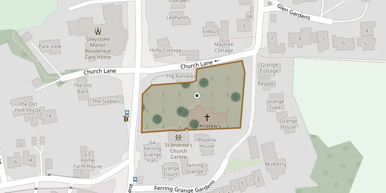
The churchyard surrounds St Andrew's Church in Ferring, West Sussex. A church is said to have stood on the site since about 765 AD, when land in Ferring was granted to a monastery, and the present building dates from between about 1170 and 1250. Ferring was an episcopal manor, and the bishop's residence is said to have stood south of the churchyard.
Cemetery location
GPS coordinates: 50.812630° N, 0.448150° W Directions in Google Maps (opens in a new tab)
Memorials
19 memorials, A–Z by surname.
 James Bennett 1866 – 1914
 Robina Brown 1910 – 1974
 John Carlies 1888 – 1972
- Elsie Carlisle 1936 – 1979
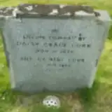 Arthur Cobb ? – 1982
- Daisy Cobb 1889 – 1975
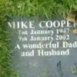 Mike Cooper 1947 – 2002
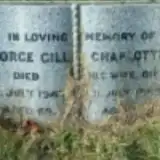 Charlotte Gill ? – 1965
- George Gill 1879 – 1947
 Dorothy Kent 1894 – 1988
- Harold Kent 1892 – 1956
- Jack Kent 1915 – 1993
- Marjorie Kent 1921 – 1955
- May Kent 1917 – 1996
- Peter Kent 1921 – 1985
- Ralf Kent 1920 – 1956
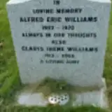 Alfred Williams 1902 – 1970
- Gladys Williams 1913 – 2005
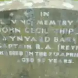 John Wynyard Barker 1896 – 1946
Looking for someone who isn't listed? Request a photo.
Nearby cemeteries
The closest other burial grounds listed on EveryStone.
- Goring-by-Sea (Saint Mary) Churchyard 1.7 km away · Goring by Sea
- St Mary the Virgin Churchyard 2.9 km away · East Preston · 4 records
- St. Margaret's Parish Churchyard 3.2 km away · Angmering · 29 records
- St Andrew Churchyard 3.9 km away · Worthing
- Patching (Saint John the Divine) Churchyard 4.0 km away · Patching
- Rustington Cemetery 4.0 km away · Rustington
- Heene Cemetery 4.2 km away · Worthing
- St Peter and St Paul Churchyard 4.4 km away · Rustington
- Durrington Cemetery, Salvington 4.8 km away · Salvington · 3 records
- Worthing (Durrington) Cemetery 4.9 km away · Worthing · 46 records
Contribute with the app
Our website works smoothly on both desktop and mobile devices. Prefer a native app? Check it out below.
- Capture clear headstone photos
- Save GPS grave locations automatically
- Transcribe inscriptions with our AI
- Suggest corrections to existing records
Common questions
How big is Ferring (Saint Andrew) Churchyard?
Ferring (Saint Andrew) Churchyard covers about 3,080 m² (0.8 acres), about half the size of a soccer field. It is the 62nd smallest of the 171 cemeteries we list in West Sussex.
What is the oldest grave in this cemetery?
The oldest grave among the records we hold for Ferring (Saint Andrew) Churchyard is that of James Thomas Bennett, who died on October 5, 1914 at the age of 48.