
8
documented records
≈ 14–28
approx. capacity (graves)
690 m²
cemetery area
Nov 4, 2026
last modified
About this cemetery
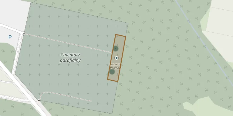
This war plot is set apart on the cemetery of the Roman Catholic parish in Juliopol and holds Polish Army soldiers killed in September 1939. It covers about 762 square metres. It holds 3,773 Polish soldiers, only 237 of them identified. The site is a place of national remembrance under conservation protection.
Cemetery location
GPS: GPS coordinates: 52.292153° N, 20.204404° E Directions in Google Maps (opens in a new tab)
Memorials
8 memorials, A–Z by last name.
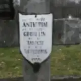 Janicki Antkowiak ? – 1939
- Piotr Antkowiak 1909 – 1939
- Józef Brzozowski ? – 1939
- Stefan Grobelin ? – 1939
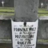 Henryk Pronikiewicz 1911 – 1939
- Stanisław Przybylski ? – 1939
- Edward Raczyk ? – 1939
- Bronisław Walczak ? – 1939
Looking for someone who isn't listed? Request a photo.
Nearby cemeteries
The closest other burial grounds listed on EveryStone.
- Młodzieszyn Parish Cemetery 60 m away · Młodzieszyn · 6 records
- Młodzieszyn War Cemetery 1914-1915 1.6 km away · Młodzieszyn
- Janów German War Cemetery (World War I) 3.6 km away · Sochaczew
- Ruszki War Cemetery 3.6 km away · Sochaczew
- Mistrzewice Old Cemetery 3.8 km away · Mistrzewice
- Nowe Mistrzewice Cemetery 3.8 km away · Nowe Mistrzewice · 6 records
- Czmentarz z okresu I wojny światowej 4.5 km away · Mistrzewice
- Rokicina War Cemetery (Battle of the Bzura) 4.7 km away · Rokicina
- Stefanów War Cemetery 4.9 km away · Radziwiłka B
- Stare Budy Military Cemetery 5.0 km away · Stare Budy
Contribute with the app
Our website works smoothly on both desktop and mobile devices. Prefer a native app? Check it out below.
- Capture clear headstone photos
- Save GPS grave locations automatically
- Transcribe inscriptions with our AI
- Suggest corrections to existing records
Common questions
How big is Juliopol War Plot?
Juliopol War Plot covers about 690 m² (0.2 acres), about the size of 3 tennis courts. It is the 64th smallest of the 1,221 cemeteries we list in Masovian Voivodeship.
What is the oldest grave in this cemetery?
The oldest grave among the records we hold for Juliopol War Plot is that of Henryk Pronikiewicz, who died on September 16, 1939 at the age of 28.