
Cemetery #43569
Łagów Cemetery
Local name: Łagów, cmentarz
Also known as Łagów Cmentarz Parafialny · Cmentarz Parafialny, Łagów · Cmentarz parafialny w Łagowie
41
documented records
≈ 580–1,200
approx. capacity (graves)
0.029 km²
cemetery area
Nov 5, 2026
last modified
About this cemetery
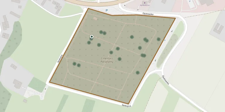
The parish cemetery in Łagów lies along Opatowska and Dolomitowa streets and belongs to the local parish of St Michael the Archangel.
Cemetery location
GPS coordinates: 50.775648° N, 21.091044° E Directions in Google Maps (opens in a new tab)
Memorials
41 memorials, A–Z by surname.
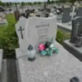 Bogdan Borek 1912 – 1982
- Leokadia Borek 1919 – 1994
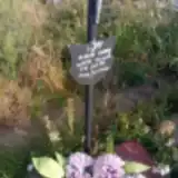 Marcin Czekaj 1901 – 1952
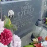 Piotr Czekaj 1923 – 1987
- Władysława Czekaj ? – 2003
 Agnieszka Gadowska 1876 – 1963
- Jan Gadowski 1924 – 1956
- Tomasz Gadowski 1957 – 1988
 Maria Jankowski ? – 2018
- Stanisław Jankowski 1919 – 1989
 Adam Kamiński 1896 – 1953
 Jan Kołbuc 1915 – 1982
 Barbara Kołodziej 1892 – 1975
- Feliks Kołodziej ? – 2002
- Joanna Kołodziej ? – 2013
- Stanisław Kołodziej ? – 1979
- Agnieszka Maruszak 1908 – 1982
 Janina Masternak ? – 2007
 Adam Michalczyk ? – 2008
- Maria Mizera 1895 – 1943
- Michalczyk Mizera ? – 1998
- Stanisław Pilarski 1951 – 2002
 Ignacy Pióro ? – 1988
- Józefa Pióro 1909 – 1973
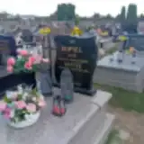 Danuta Popiel 1945 – 2016
- Jan Popiel ? – 1990
 Otolia Ścibisz 1907 – 2000
- Stefan Ścibisz 1902 – 1976
- Zbigniew Ścibisz 1933 – 2013
 Maria Śliwińska 1921 – 1968
- Jan Śliwiński ? – 1975
 Józef Starosta 1896 – 1984
 Henryk Świderski 1951 – 2004
- Jan Świderski ? – 1988
- Józef Szczykutowicz ? – 1970
- Józefa Szczykutowicz ? – 1969
- Leokadia Szostak ? – 2021
- Maria Szostak 1907 – 1970
- Stanisław Szostak 1901 – 1971
 Stanisłąw Szostak 1908 – 1983
 Jan Zaręba 1919 – 1994
Looking for someone who isn't listed? Request a photo.
Nearby cemeteries
The closest other burial grounds listed on EveryStone.
- Łagów Jewish Cemetery 1.6 km away · Łagów
- Piórków-Kolonia Parish Cemetery 4.9 km away · Piórków-Kolonia
- Sadków - Zbelutka Parish Cemetery 5.2 km away · Stara Zbelutka · 20 records
- Bardo Parish Cemetery 5.9 km away · Bardo · 55 records
- Ociesęki Parish Cemetery 8.8 km away · Ociesęki · 49 records
- Szumsko Cemetery 9.0 km away · Szumsko · 19 records
- Skoszyn Parish Cemetery 9.6 km away · Skoszyn
- Nowa Słupia Municipal Cemetery 9.6 km away · Nowa Słupia
- Nowa Słupia Soviet Prisoner-of-War Cemetery (Bielnik) 9.6 km away · Nowa Słupia
- Nowa Słupia Parish Cemetery 9.7 km away · Nowa Słupia
Contribute with the app
Our website works smoothly on both desktop and mobile devices. Prefer a native app? Check it out below.
- Capture clear headstone photos
- Save GPS grave locations automatically
- Transcribe inscriptions with our AI
- Suggest corrections to existing records
Common questions
How big is Łagów Cemetery?
Łagów Cemetery covers about 29,000 m² (7.2 acres), about the size of 4 soccer fields. It is the 43rd largest of the 419 cemeteries we list in Świętokrzyskie Voivodeship.
What is the oldest grave in this cemetery?
The oldest grave among the records we hold for Łagów Cemetery is that of Maria Mizera, who died in 1943 at the age of 48.