
Cemetery #44245
Krzeszów nad Sanem Cemetery
Local name: Cmentarz Krzeszów n/Sanem
Also known as Krzeszów, cmentarz parafialny · Cmentarz parafialny, Krzeszów · Cmentarz wyznaniowy (ob. rzymskokatolicki)
27
documented records
≈ 350–700
approx. capacity (graves)
0.018 km²
cemetery area
Nov 20, 2026
last modified
About this cemetery
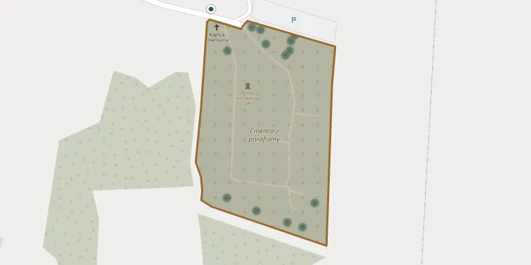
The parish cemetery in Krzeszów covers an area of 1.72 hectares. It is managed by the parish of the Nativity of the Blessed Virgin Mary. A grave of partisans lies within the cemetery, where a commemoration has been held beside it.
Cemetery location
GPS: GPS coordinates: 50.405533° N, 22.354077° E Directions in Google Maps (opens in a new tab)
Memorials
27 memorials, A–Z by last name.
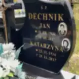 Jan Dechnik 1931 – 2012
- Katarzyna Dechnik 1934 – 2017
 Marcin Dyjak 1845 – 1887
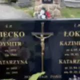 Dymitr Giecko 1873 – 1943
- Katarzyna Giecko 1893 – 1969
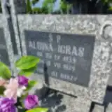 Albina Igras 1939 – 1979
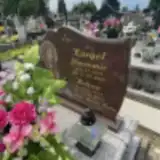 Helena Kargol 1943 – 2013
- Sławomir Kargol 1941 – 2003
 Agnieszka Kowal 1894 – 1979
- Andrzej Kowal 1880 – 1932
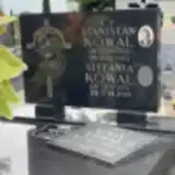 Roman Kowal 1935 – 2021
- Stanisław Kowal 1958 – 1993
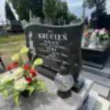 Ignacy Krucień 1918 – 1964
- Jan Krucień 1948 – 2020
- Luba Krucień 1924 – 2014
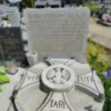 Bronisław Łokaj 1909 – 1977
- Katarzyna Łokaj 1925 – 2018
- Kazimierz Łokaj 1920 – 2004
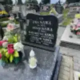 Czesław Sawa 1928 – 2019
- Ewa Sawa ? – 1974
- Józef Sawa ? – 1982
- Katarzyna Sawa 1935 – 2018
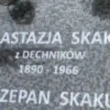 Anastazja Skakuj 1890 – 1966
- Szczepan Skakuj 1925 – 2005
 Ewa Smolak 1895 – 1966
- Józef Smolak 1887 – 1900
 Antoni Tutka 1904 – 1987
Looking for someone who isn't listed? Request a photo.
Nearby cemeteries
The closest other burial grounds listed on EveryStone.
- Krzeszów Former Graves 880 m away · Krzeszów
- Miejsce mordu 1500 Żydów 1.3 km away · Kamionka Dolna
- Krzeszów Former Jewish Cemetery 1.4 km away · Krzeszów
- Kopki Parish Cemetery 4.0 km away · Kopki · 72 records
- Tarnogóra Cemetery 4.6 km away · Tarnogóra · 32 records
- Bystre Parish Cemetery 4.7 km away · Bystre
- Bukowina War Cemetery (World War I) 4.8 km away · Bukowina
- Hucisko War Cemetery (World War I) 5.0 km away · Hucisko
- Hucisko Parish Cemetery 5.5 km away · Hucisko · 9 records
- Sarzyna Municipal Cemetery 5.6 km away · Sarzyna · 1 record
Contribute with the app
Our website works smoothly on both desktop and mobile devices. Prefer a native app? Check it out below.
- Capture clear headstone photos
- Save GPS grave locations automatically
- Transcribe inscriptions with our AI
- Suggest corrections to existing records
Common questions
How big is Krzeszów nad Sanem Cemetery?
Krzeszów nad Sanem Cemetery covers about 18,000 m² (4.3 acres), about the size of 2 soccer fields. It is the 161st largest of the 1,346 cemeteries we list in Subcarpathian Voivodeship.
What is the oldest grave in this cemetery?
The oldest grave among the records we hold for Krzeszów nad Sanem Cemetery is that of Marcin Dyjak, who died on August 3, 1887 at the age of 41.