
Cemetery #45199
Przyborów Municipal Cemetery
Local name: Przyborów, cmentarz komunalny
Also known as Cmentarz komunalny w Przyborowie · Przyborów Lapidarium
52
documented records
≈ 210–420
approx. capacity (graves)
0.010 km²
cemetery area
Nov 5, 2026
last modified
About this cemetery
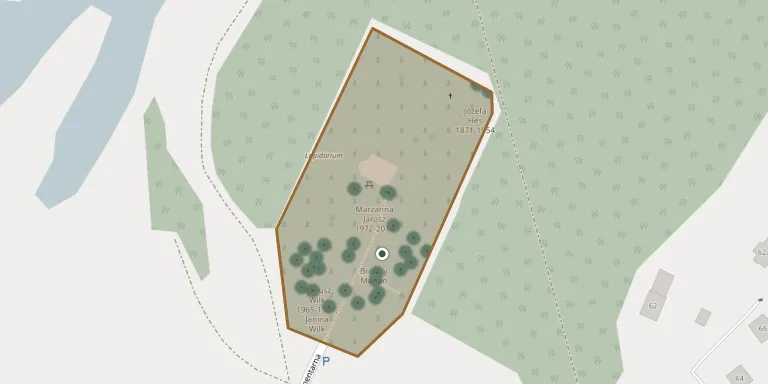
Przyborów Municipal Cemetery lies in Lubusz Voivodeship, Poland.
Cemetery location
GPS coordinates: 51.804742° N, 15.769232° E Directions in Google Maps (opens in a new tab)
Memorials
Showing the first 50 of 52, A–Z by surname. Search all records
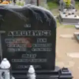 Jan Abrusewicz 1925 – 1999
- Józef Abrusewicz 1948 – 1971
- Wiktoria Abrusewicz 1925 – 2011
 Emilia Ciesielska 1930 – 2018
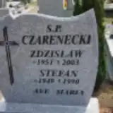 Stefan Czarenecki 1949 – 1990
- Zdzisław Czarnecki 1951 – 2003
 Ewa Drożdż 1958 – 2018
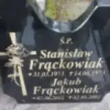 Jakub Frąckowiak 2002 – 2002
- Stanisław Frąckowiak 1973 – 1973
 Emil Gdula 1905 – 1980
- Helena Gdula 1913 – 1981
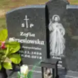 Zofia Grzesiowska 1935 – 2018
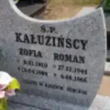 Zofia Kałuzińska 1910 – 1964
- Roman Kałuziński 1944 – 1966
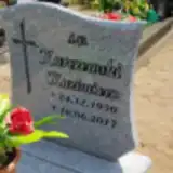 Kazimierz Karczewski 1950 – 2017
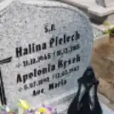 Apolonia Kęsek 1895 – 1982
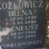 Irena Kozłowicz 1928 – 2006
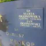 Maria Ogonowska 1954 – 2012
- Jan Ogonowski 1948 – 1971
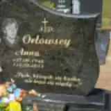 Anna Orłowska 1946 – 2013
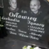 Leokadia Orłowska 1927 – 2015
- Ignacy Ortowski 1922 – 2013
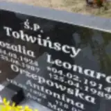 Antonina Orzepowska 1892 – 1981
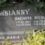 Marianna Owsianny 1927 – 1980
- Wiesław Owsianny 1947 – 1979
- Zdzisław Owsianny 1952 – 1978
- Halina Pielech 1945 – 2015
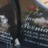 Andrzej Poźniak 1977 – 1978
- Jarosław Poźniak 1979 – 2006
 Antonina Praczkiewicz 1893 – 1951
- Dariusz Prokop 1976 – 2002
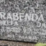 Jan Rabenda 1904 – 1990
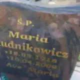 Maria Rudnikiewicz 1918 – 2009
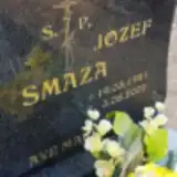 Józef Smaza 1941 – 2002
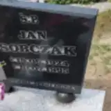 Jan Sobczak 1924 – 1995
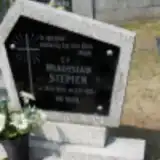 Władysław Stępień 1949 – 1983
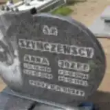 Jan Szymczewski 1935 – 2009
- Józef Szymczewski 1906 – 1983
- Rozalia Tołwińska 1924 – 1987
- Leonard Tołwiński 1914 – 1989
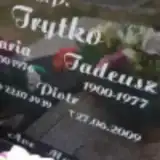 Maria Trytko 1900 – 1976
- Piotr Trytko 1939 – 2009
- Tadeusz Trytko 1900 – 1977
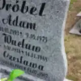 Adam Wróbel 1893 – 1975
- Czesława Wróbel 1920 – 2007
- Czesława Wróbel 1956 – 1956
- Jan Wróbel 1918 – 1994
- Marianna Wróbel 1921 – 1990
- Wacław Wróbel 1918 – 1988
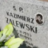 Kazimierz Zalewski 1933 – 1993
Looking for someone who isn't listed? Request a photo.
Nearby cemeteries
The closest other burial grounds listed on EveryStone.
- Nowa Sól Municipal Cemetery 3.2 km away · Nowa Sól · 328 records
- Stare Zabno Municipal Cemetery 3.5 km away · Stare Zabno · 289 records
- Nowa Sól Municipal Cemetery 3.6 km away · Nowa Sól
- Stany Municipal Cemetery 4.6 km away · Nowa Sól · 18 records
- Siedlisko Cemetery 4.6 km away · Siedlisko · 82 records
- Kiełcz Municipal Cemetery 5.0 km away · Kiełcz · 40 records
- Rudno Churchyard (St. Jude Thaddeus and St. Simon the Zealot) 6.6 km away · Rudno · 45 records
- Lipiny Cemetery 6.6 km away · Lipiny · 28 records
- Nowe Żabno Municipal Cemetery 6.8 km away · Nowe Żabno · 6 records
- Nowe Żabno Old Evangelical Cemetery 6.8 km away · Nowe Żabno · 2 records
Contribute with the app
Our website works smoothly on both desktop and mobile devices. Prefer a native app? Check it out below.
- Capture clear headstone photos
- Save GPS grave locations automatically
- Transcribe inscriptions with our AI
- Suggest corrections to existing records
Common questions
How big is Przyborów Municipal Cemetery?
Przyborów Municipal Cemetery covers about 10,000 m² (2.6 acres), about the size of a soccer field. It is the 118th largest of the 615 cemeteries we list in Lubusz Voivodeship.
What is the oldest grave in this cemetery?
The oldest grave among the records we hold for Przyborów Municipal Cemetery is that of Antonina Praczkiewicz, who died on August 5, 1951 at the age of 57.