
Cemetery #45499
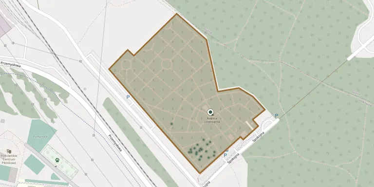
Polkowice Municipal Cemetery
Local name: Cmentarz Gminny
Also known as Polkowice, cmentarz komunalny · Cmentarz komunalny, Polkowice
34
documented records
≈ 1,400–2,800
approx. capacity (graves)
0.071 km²
cemetery area
Nov 5, 2026
last modified
About this cemetery
Polkowice Municipal Cemetery lies in Lower Silesian Voivodeship, Poland.
Cemetery location
GPS coordinates: 51.513754° N, 16.082680° E Directions in Google Maps (opens in a new tab)
Memorials
34 memorials, A–Z by surname.
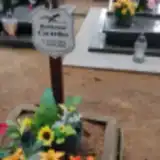 Waldemar Ćwirko 1953 – 2009
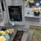 Elżbieta Dziedzic 1906 – 1988
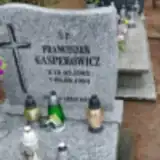 Franciszek Gasperowicz 1903 – 1984
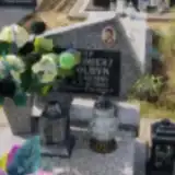 Kazimierz Gołdyń 1940 – 1996
- Otyra Józef ? – 1984
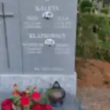 Józef Kaleta 1926 – 1989
- Julia Kaleta 1926 – 2017
- Maria Kłapkowska 1926 – 2008
- Władysław Kłapkowski 1922 – 1977
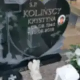 Krystyna Kolińska 1945 – 2019
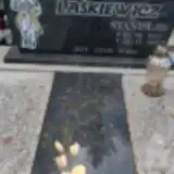 Stanisław Łaśkiewicz 1929 – 1987
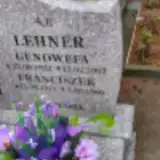 Franciszek Lehner 1911 – 1986
- Genowefa Lehner 1922 – 2007
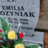 Emilia Łozyniak 1920 – 2004
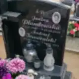 Janina Płandowska 1949 – 2011
 Elżbieta Potocka 1931 – 2006
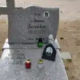 Witold Ściezka 1942 – 2014
- Anna Ścieżka 1952 – 2011
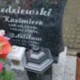 Kazimierz Śledziewski 1928 – 1985
- Zdzisław Śledziewski 1956 – 2006
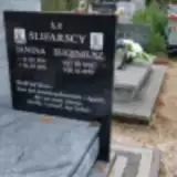 Janina Ślifarska 1931 – 1991
- Eugeniusz Ślifarski 1931 – 1995
 Barbara Soliwoda 1952 – 2020
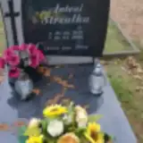 Antoni Strzałka 1939 – 2006
- Andrzej Towarnicki 1976 – 2011
- Otyra Wanda ? – 2013
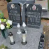 Franciszek Winkler 1915 – 1990
- Józefa Winkler 1920 – 2004
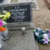 Kazimiera Zaborowska 1933 – 1999
- Stanisław Zaborowski 1921 – 1980
 Witold Zimkowski 1947 – 2020
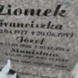 Franciszka Ziomek 1927 – 1983
- Józef Ziomek 1926 – 1984
- Stanisław Ziomek 1949 – 1997
Looking for someone who isn't listed? Request a photo.
Nearby cemeteries
The closest other burial grounds listed on EveryStone.
- Polkowice Cemetery 1.7 km away · Polkowice
- Trzebcz Evangelical Cemetery 2.3 km away · Trzebcz
- Moskorzyn Destroyed Evangelical Cemetery 3.2 km away · Moskorzyn
- Sucha Górna Cemetery 5.1 km away · Sucha Górna · 31 records
- Zuków Former Cemetery 5.3 km away · Zuków
- Sobin Parish Cemetery 5.4 km away · Polkowice · 20 records
- Sobin Churchyard 5.9 km away · Sobin · 1 record
- Duża Wólka 18th-Century Evangelical Cemetery Remains 6.8 km away · Duża Wólka
- Grodowiec Parish Cemetery (St. John the Baptist) 7.1 km away · Grodowiec · 75 records
- Szklary Górne Cemetery 7.8 km away · Szklary Górne · 17 records
Contribute with the app
Our website works smoothly on both desktop and mobile devices. Prefer a native app? Check it out below.
- Capture clear headstone photos
- Save GPS grave locations automatically
- Transcribe inscriptions with our AI
- Suggest corrections to existing records
Common questions
How big is Polkowice Municipal Cemetery?
Polkowice Municipal Cemetery covers about 71,000 m² (17 acres), about the size of 10 soccer fields. It is the 22nd largest of the 1,407 cemeteries we list in Lower Silesian Voivodeship.
What is the oldest grave in this cemetery?
The oldest grave among the records we hold for Polkowice Municipal Cemetery is that of Władysław Kłapkowski, who died on February 12, 1977 at the age of 54.