
Cemetery #46245
Skarżysko-Kamienna Partisan War Cemetery
Local name: Partyzancki Cmentarz Wojenny
Also known as Wojenny cmentarz partyzancki żołnierzy Podobwodu Skarżysko-Kamienna AK · Cmentarz wojenny Podobwodu Skarżysko-Kamienna AK · Wojenny cmentarz partyzancki żołnierzy Armii Krajowej z II w. św.
0
documented records
≈ 18–36
approx. capacity (graves)
890 m²
cemetery area
Oct 18, 2026
last modified
About this cemetery
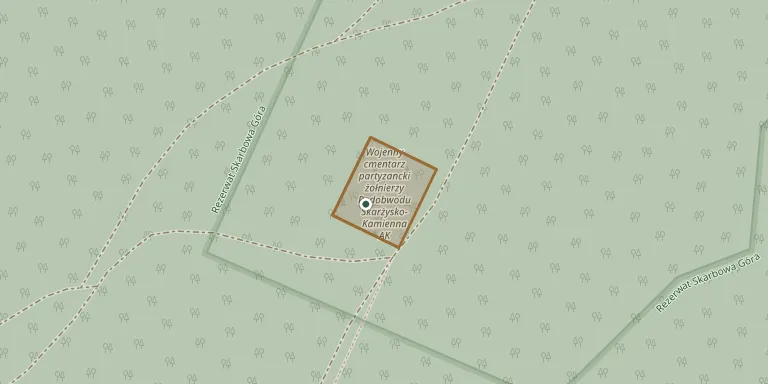
This war cemetery for soldiers of the Skarżysko-Kamienna sub-district of the Home Army (code name Morwa) lies in a forest on the slope of Góra Skarbowa. It was created in August 1943. Buried there are soldiers of the units of Ponury, Szary, Marjański, Jurek and others. Anniversary ceremonies are held at the site.
Cemetery location
GPS: GPS coordinates: 51.160262° N, 20.830077° E Directions in Google Maps (opens in a new tab)
Memorials
No records yet
Photograph a headstone and add it to the archive.
Looking for someone who isn't listed? Request a photo.
Nearby cemeteries
The closest other burial grounds listed on EveryStone.
- Majdów Parish Cemetery 3.2 km away · Majdów
- Sadek Parish Cemetery 5.9 km away · Sadek
- Budki Pierwsze Parish Cemetery 6.0 km away · Budki Pierwsze
- Skarżysko-Kamienna Roman Catholic Cemetery 6.7 km away · Skarżysko-Kamienna · 1 record
- Szydłowiec Parish Cemetery 6.7 km away · Szydłowiec
- Skarżysko Kościelne Parish Cemetery 6.8 km away · Skarżysko Kościelne
- Kierz Niedźwiedzi Parish Cemetery 7.2 km away · Kierz Niedźwiedzi
- Bliżyn Family Cemetery 7.6 km away · Bliżyn
- Usłów Jewish Cemetery 7.6 km away · Usłów
- Łyżwy Roman Catholic and Jewish Cemetery 7.7 km away · Skarżysko-Kamienna
Contribute with the app
Our website works smoothly on both desktop and mobile devices. Prefer a native app? Check it out below.
- Capture clear headstone photos
- Save GPS grave locations automatically
- Transcribe inscriptions with our AI
- Suggest corrections to existing records
Common questions
How big is Skarżysko-Kamienna Partisan War Cemetery?
Skarżysko-Kamienna Partisan War Cemetery covers about 890 m² (0.2 acres), about the size of 3 tennis courts. It is the 30th smallest of the 419 cemeteries we list in Świętokrzyskie Voivodeship.