
Cemetery #4707
Geboltskirchen Cemetery
Local name: Friedhof Geboltskirchen
Also known as Pfarrkirche Geboltskirchen
17
documented records
≈ 17–26
approx. capacity (graves)
390 m²
cemetery area
Nov 5, 2026
last modified
About this cemetery
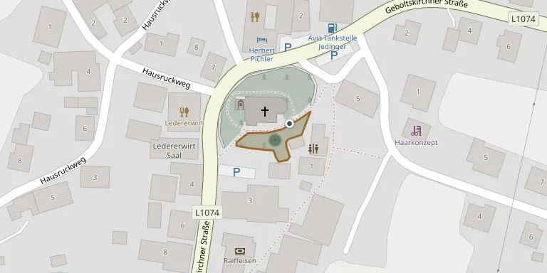
The cemetery at Geboltskirchen in Upper Austria is linked to the parish church of the village. A new mortuary hall with barrier-free access stands at the south-western end of the cemetery complex. The building helped the municipality win the Upper Austrian Ortsbildpreis in 2026.
Cemetery location
GPS coordinates: 48.153000° N, 13.634100° E Directions in Google Maps (opens in a new tab)
Memorials
17 memorials, A–Z by surname.
 Ferdinand Berger 1926 – 2003
- Matthias Berger 1898 – 1969
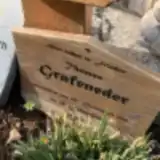 Thomas Grafeneder 1978 – 2016
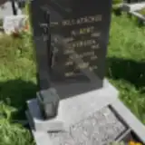 Albert Mulatschek 1896 – 1968
- Johanna Mulatschek 1926 – 1995
- Josef Mulatschek 1920 – 2011
- Theresia Mulatschek 1900 – 1985
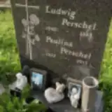 Ludwig Perschel 1940 – 1998
- Paulina Perschel 1923 – 2015
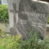 Alois Pramendorfer 1922 – 1996
- Berta Pramendorfer 1926 – 1994
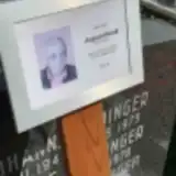 August Rendl 1948 – 2023
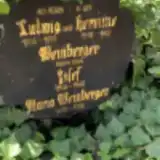 Hermine Weinberger 1910 – 1969
- Josef Weinberger 1948 – 1968
- Ludwig Weinberger 1906 – 1974
- Maria Weinberger 1878 – 1953
- Karoline Zauner 1895 – 1960
Looking for someone who isn't listed? Request a photo.
Nearby cemeteries
The closest other burial grounds listed on EveryStone.
- Haag am Hausruck French Cemetery 3.8 km away · Haag am Hausruck
- Altenhof am Hausruck Cemetery 4.1 km away · Altenhof am Hausruck
- St. Giles Catholic Filial Churchyard, Niedernhaag 4.3 km away · Niedernhaag
- Eberschwang Cemetery 5.1 km away · Maierhof
- Pfarrkirche St. Marienkirchen am Hausruck 5.1 km away · Sankt Marienkirchen am Hausruck
- Bruckmühl Cemetery 5.2 km away · Bruckmühl
- Wolfsegg am Hausruck Cemetery 5.9 km away · Wolfsegg am Hausruck
- Pfarrkirche Weibern 6.2 km away · Weibern
- Geiersberg Cemetery 6.4 km away · Geiersberg
- Kühnberg Cemetery with Cemetery Chapel 6.7 km away · Kühnberg
Contribute with the app
Our website works smoothly on both desktop and mobile devices. Prefer a native app? Check it out below.
- Capture clear headstone photos
- Save GPS grave locations automatically
- Transcribe inscriptions with our AI
- Suggest corrections to existing records
Common questions
How big is Geboltskirchen Cemetery?
Geboltskirchen Cemetery covers about 390 m², about the size of a tennis court. It is the 15th smallest of the 489 cemeteries we list in Upper Austria.
What is the oldest grave in this cemetery?
The oldest grave among the records we hold for Geboltskirchen Cemetery is that of Maria Weinberger, who died in 1953 at the age of 75.