
Cemetery #5326
Pontyates, St. Mary Churchyard
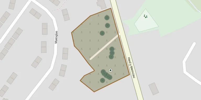
Also known as Heol y Meinciau Cemetery, Pontyates
30
documented records
≈ 120–230
approx. capacity (graves)
5,770 m²
cemetery area
Nov 5, 2026
last modified
About this cemetery
St Mary's Church stands in an irregularly shaped churchyard on the west side of the B4309, between Pontyates and Meinciau in Carmarthenshire. The churchyard contains one Commonwealth war grave from the Second World War.
Cemetery location
GPS: GPS coordinates: 51.762230° N, 4.224984° W Directions in Google Maps (opens in a new tab)
Memorials
30 memorials, A–Z by last name.
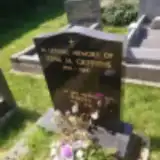 Annie Davies ? – 1995
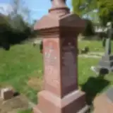 David Davies ? – 1944
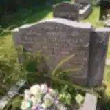 David Davies ? – 1937
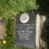 Douglas Davies 1925 – 1991
- Elizabeth Davies 1861 – 1908
- Evan Davies ? – 1969
- Sylvia Davies 1922 – 1937
- Williams Davies ? – 1928
 Edgar Evans 1926 – 2004
- Elsbeth Evans 1936 – 2011
 David Griffiths 1940 – 1995
- John Griffiths 1905 – 1984
- Shirley Griffiths 1935 – 1948
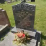 Eleanor John 1905 – 1966
- Gwyneth John 1928 – 1948
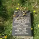 Emlyn Jones 1918 – 1994
- Marie Jones 1922 – 1993
- John Lewis 1904 – 1984
- Marilyn Lewis 1954 – 1987
 Annie McGill 1904 – 1998
- Harry McGill 1906 – 2006
 David Mills 1920 – 2000
 David Rosser 1884 – 1946
- Margaret Rosser 1887 – 1941
- Russell Rosser 1922 – 1943
 Winifred Thomas 1896 – 1959
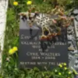 Cyril Walters 1924 – 2005
- Valmai Walters 1922 – 2003
- Annetta Williams ? – 1971
- Ivor Williams ? – 1957
Looking for someone who isn't listed? Request a photo.
Nearby cemeteries
The closest other burial grounds listed on EveryStone.
- Pontyates Nazareth Congregational Chapelyard 1.1 km away · Pontyates
- Bethesda Baptist Chapel 1.3 km away · Pont Henri
- Pontyates Cemetery 1.3 km away · Pontyates
- Moriah Welsh Baptist Chapel, Meinciau 1.3 km away · Pontyates · 8 records
- Pontyates Cemetery 1.4 km away · Pontyates
- Pontyates Cemetery 2.9 km away · Pontyates
- Pontyberem Cemetery 3.4 km away · Pontyberem
- Horeb Chapel Cemetery 3.7 km away · Kidwelly
- Pontyberem Cemetery 4.1 km away · Pontyberem
- St. Cyndeyrn's Churchyard 4.7 km away · Llangendeirne · 15 records
Contribute with the app
Our website works smoothly on both desktop and mobile devices. Prefer a native app? Check it out below.
- Capture clear headstone photos
- Save GPS grave locations automatically
- Transcribe inscriptions with our AI
- Suggest corrections to existing records
Common questions
How big is Pontyates, St. Mary Churchyard?
Pontyates, St. Mary Churchyard covers about 5,770 m² (1.4 acres), about the size of a soccer field. It is the 39th largest of the 272 cemeteries we list in Carmarthenshire.
What is the oldest grave in this cemetery?
The oldest grave among the records we hold for Pontyates, St. Mary Churchyard is that of Elizabeth Davies, who died on December 12, 1908 at the age of 47.