
Cemetery #626285
Drouwenerveen Cemetery
Local name: Begraafplaats, Drouwenerveen
43
documented records
≈ 120–240
approx. capacity (graves)
6,100 m²
cemetery area
Nov 5, 2026
last modified
About this cemetery
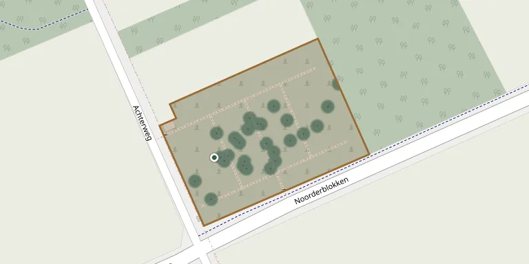
The general cemetery of Drouwenerveen, also listed as Algemene Begraafplaats Drouwenermond, lies on the Verbindingsweg in Drouwenerveen, in the municipality of Borger-Odoorn, Drenthe. The municipality reports that the cemetery in Drouwenerveen is privately run, unlike its eight municipal cemeteries. Before this burial ground existed, villagers were buried at an older cemetery elsewhere in the area.
Cemetery location
GPS coordinates: 52.967600° N, 6.864400° E Directions in Google Maps (opens in a new tab)
Memorials
43 memorials, A–Z by surname.
 Jan Boonstra 1857 – 1932
 Antke Bulsma 1884 – 1968
 Geert de Jonge 1926 – 1929
- Trientje De Jonge 1897 – 1983
 Harm Harders 1870 – 1933
 Knevelbaard Henderik 1848 – 1921
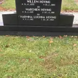 Harmina Hoving 1913 – 1932
- Marchien Hoving 1871 – 1918
- Willem Hoving 1872 – 1965
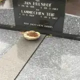 Jan Hulshof 1916 – 1967
- Maarten Knevelbaard 1886 – 1913
 Zietze Kok 1866 – 1926
 Gerrit Koops 1926 – 2001
- Heikina Koops 1927 – 1992
 Harmina Kornelius 1920 – 2006
 Harm Kroezinga 1875 – 1947
- Jopkien Langenberg 1870 – 1957
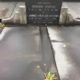 Lammechien Meertens 1872 – 1954
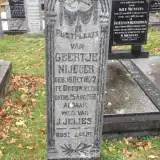 Geertje Nijboer 1872 – 1956
 Frederika Onrust 1943 – 1997
- Jan Onrust 1936 – 2011
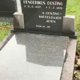 Henderikus Oosting 1927 – 1974
- Gezina Paas 1873 – 1953
 Elsie Pepping 1930 – 1985
 Albert Pronk 1927 – 1928
 Willemtina Rijnberg 1906 – 1976
 Geert Rosien 1911 – 1973
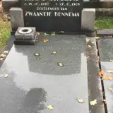 Berend Schuiling 1930 – 1968
 Hendrik Slim 1884 – 1980
- Reinderrina Smit 1883 – 1945
- Hendrik Spreen 1861 – 1941
 Jurrien Spreen 1855 – 1930
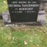 Oechina Tangenberg 1892 – 1944
- Pieterdiena Ten Hoor 1860 – 1945
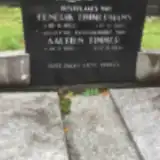 Aaltien Timmer 1884 – 1974
 Jan Timmer 1916 – 1943
- Hendrik Timmermans 1880 – 1965
 Geetje Trip 1831 – 1916
- Lammechien Trip 1922 – 1967
- Berendina van den Borg 1849 – 1927
- Gerrit Veldman 1900 – 1981
- Trientje Westerhuis 1897 – 1983
 Annechien Zondag 1835 – 1900
Looking for someone who isn't listed? Request a photo.
Nearby cemeteries
The closest other burial grounds listed on EveryStone.
- Hoofdstraat Old Cemetery 1.8 km away · Gasselternijveen
- Gasselternijveen General Cemetery 2.4 km away · Gasselternijveen · 5 records
- Nieuw-Buinen Cemetery 4.2 km away · Nieuw-Buinen
- Nieuw Buinen Old Cemetery 4.5 km away · Nieuw-Buinen · 47 records
- Gasselte Cemetery 5.0 km away · Gasselte
- Aa en Hunze Protestant Churchyard 5.1 km away · Aa en Hunze · 6 records
- Stadskanaal North Cemetery 5.7 km away · Stadskanaal
- Stadskanaal Municipal Cemetery 5.8 km away · Stadskanaal · 31 records
- Borger Jewish Cemetery 6.1 km away · Borger-Odoorn
- Stadskanaal Roman Catholic Cemetery 6.2 km away · Stadskanaal · 33 records
Contribute with the app
Our website works smoothly on both desktop and mobile devices. Prefer a native app? Check it out below.
- Capture clear headstone photos
- Save GPS grave locations automatically
- Transcribe inscriptions with our AI
- Suggest corrections to existing records
Common questions
How big is Drouwenerveen Cemetery?
Drouwenerveen Cemetery covers about 6,100 m² (1.5 acres), about the size of a soccer field. It is the 67th smallest of the 148 cemeteries we list in Drenthe.
What is the oldest grave in this cemetery?
The oldest grave among the records we hold for Drouwenerveen Cemetery is that of Annechien Zondag, who died on April 30, 1900 at the age of 64.